Hike up to Thomas Hut – Hexrivier Mountains – 31 Dec 2015

I greeted 2016 on the top of the Hexrivier Mountains at the Thomas Hut that belongs to the Worcester section of the Mountain Club of South Africa. Here is it on Google Maps:

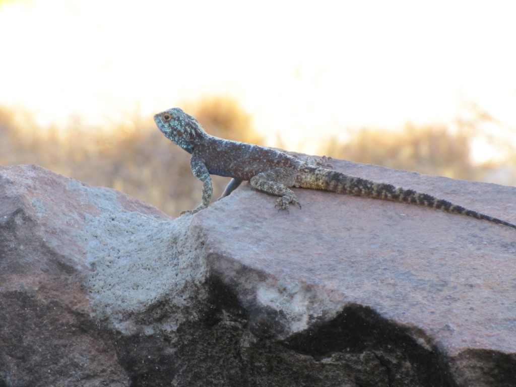
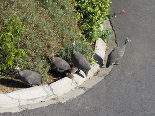
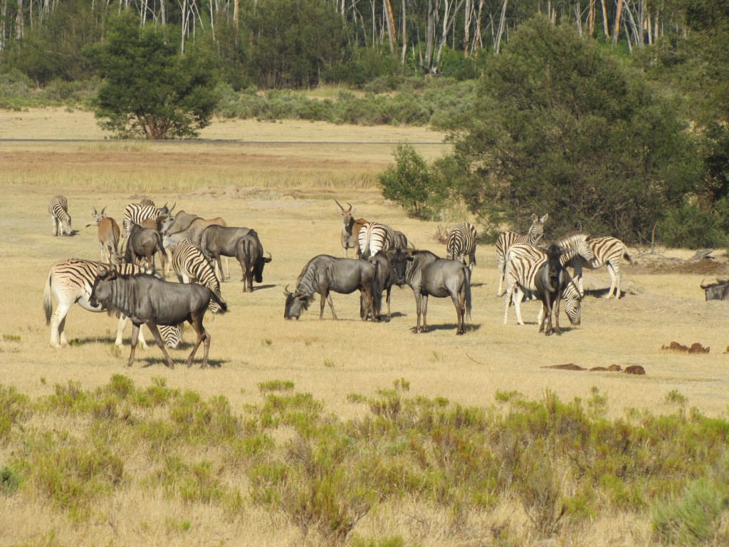
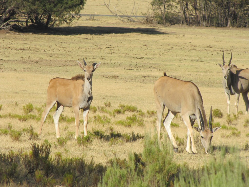
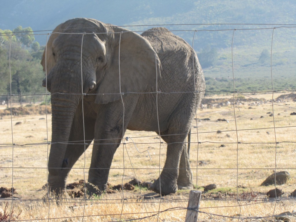
Access to the hut is through the Fairy Glen Nature Reserve where we arrived at the car park just after 8am on the morning of the 31st.  Access must be pre-arranged through the Nature Reserve.  On the drive through the park we saw some wild life:

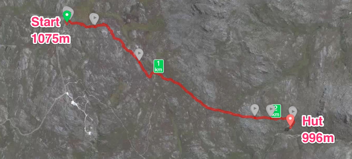
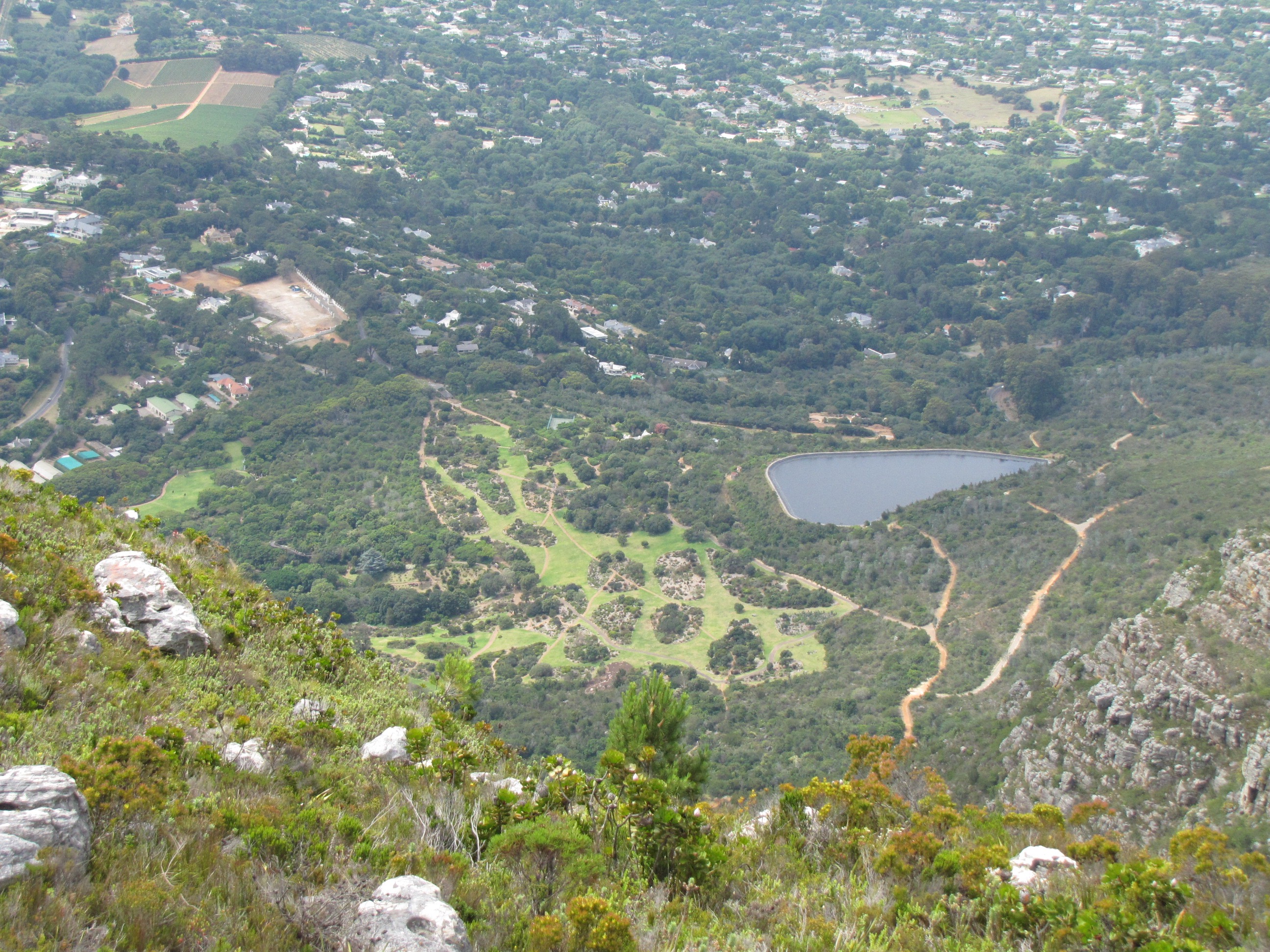
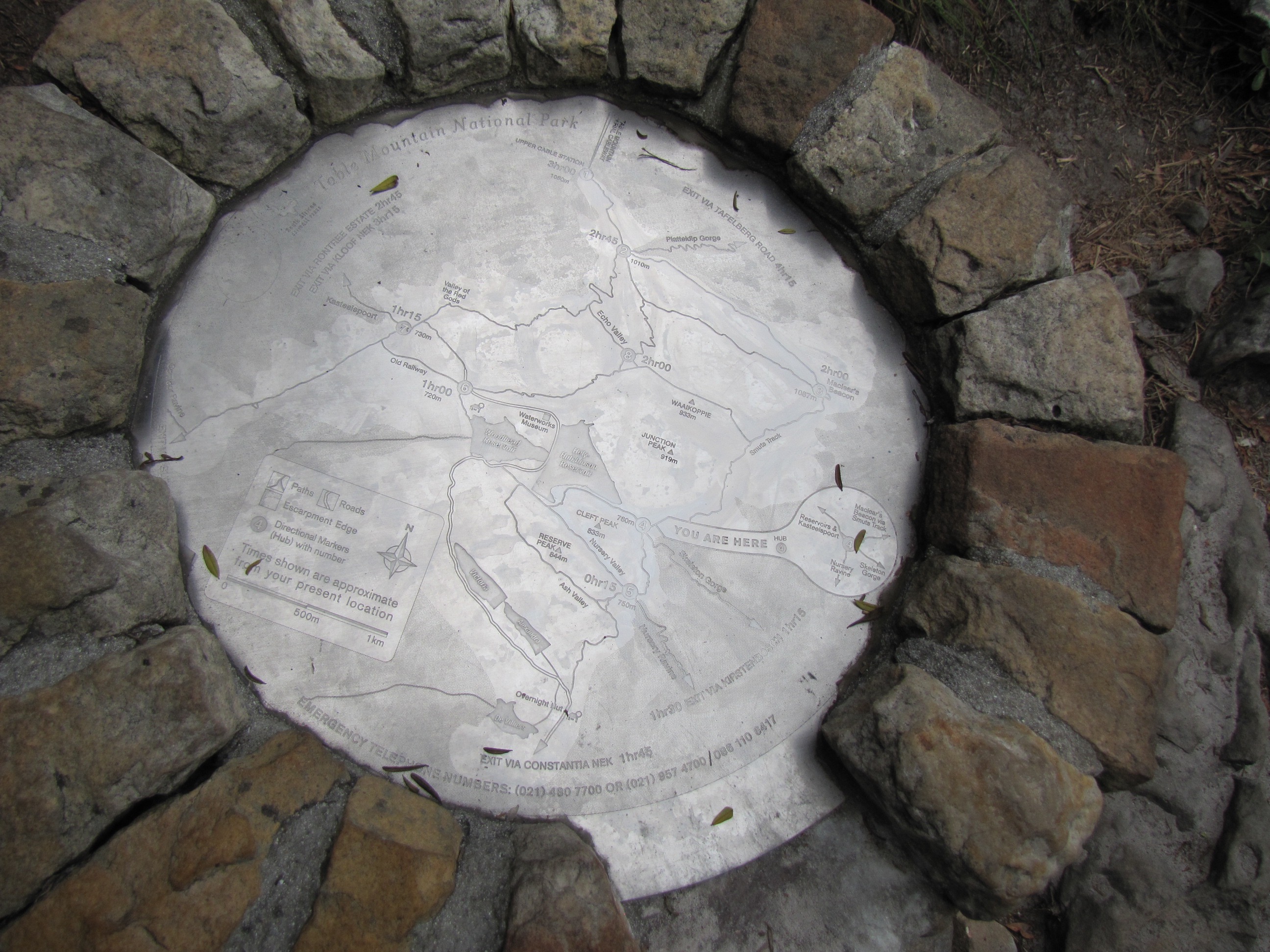
We started our hike up the mountain at 8:45am on a very hot day, around 35 degrees celcius for most of the hike. In hindsight, this was way to late and the ideal time to start would have been before 6am. Here is the route map of the just over 7km hike rising from 444m to just short of 1400m.
Thomas Hut - 31 Des 2015

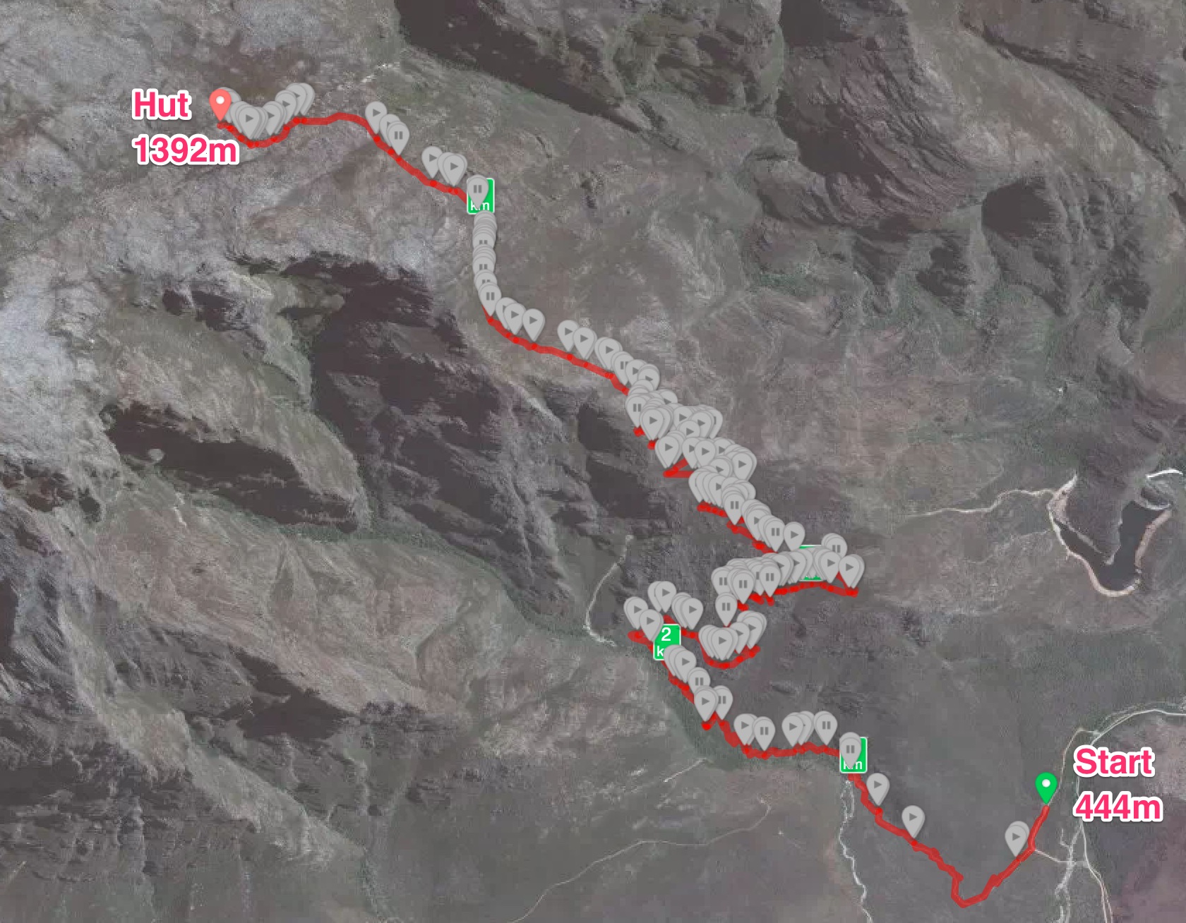
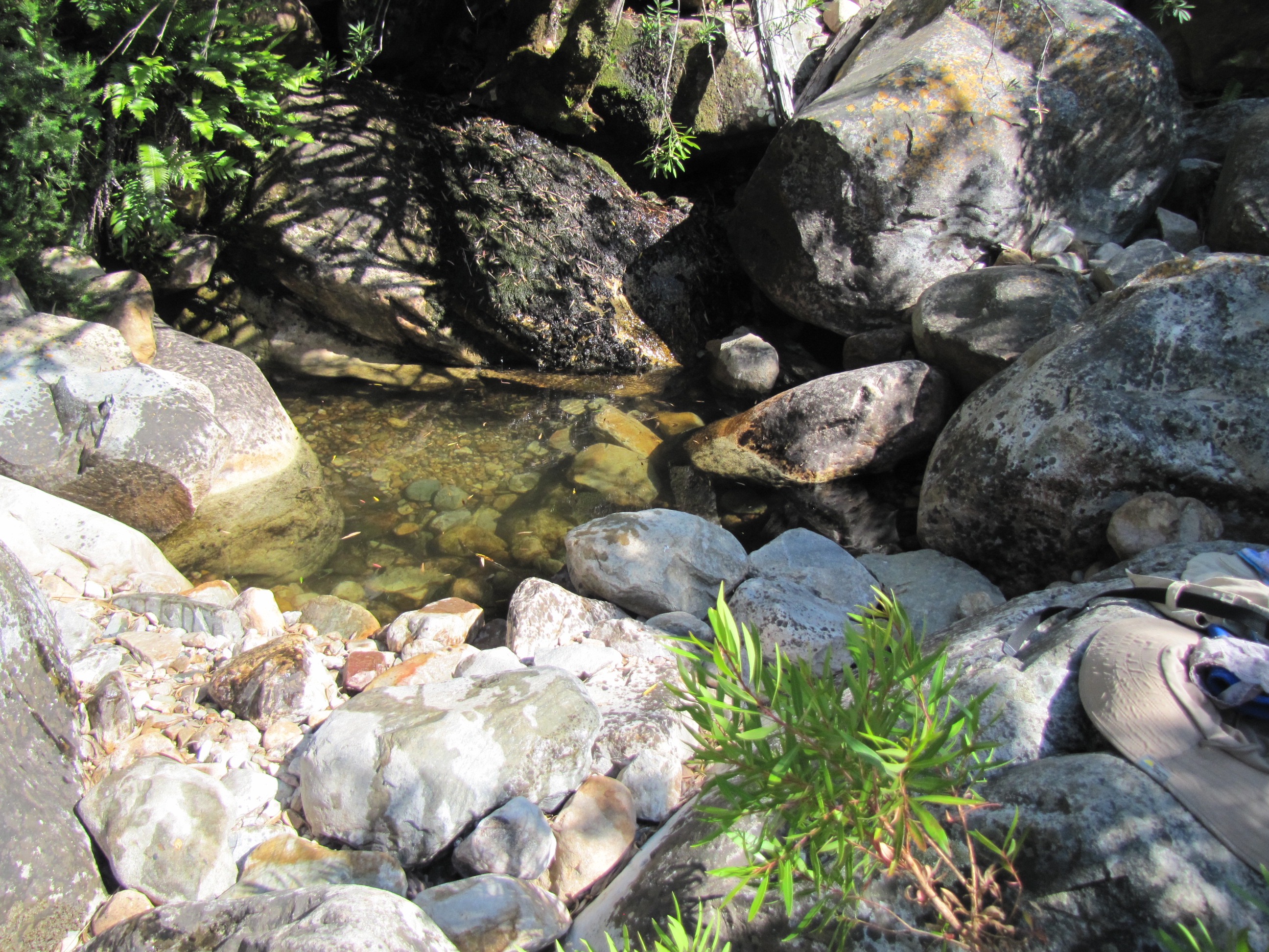
Normally the hike should be taking around 3.5 – 4 hours but for us it took just short of 6 hours due to the heat and lots of stops along the way.  Our first stop was about a hour in when we found this pool for a dip.
IMG_2136

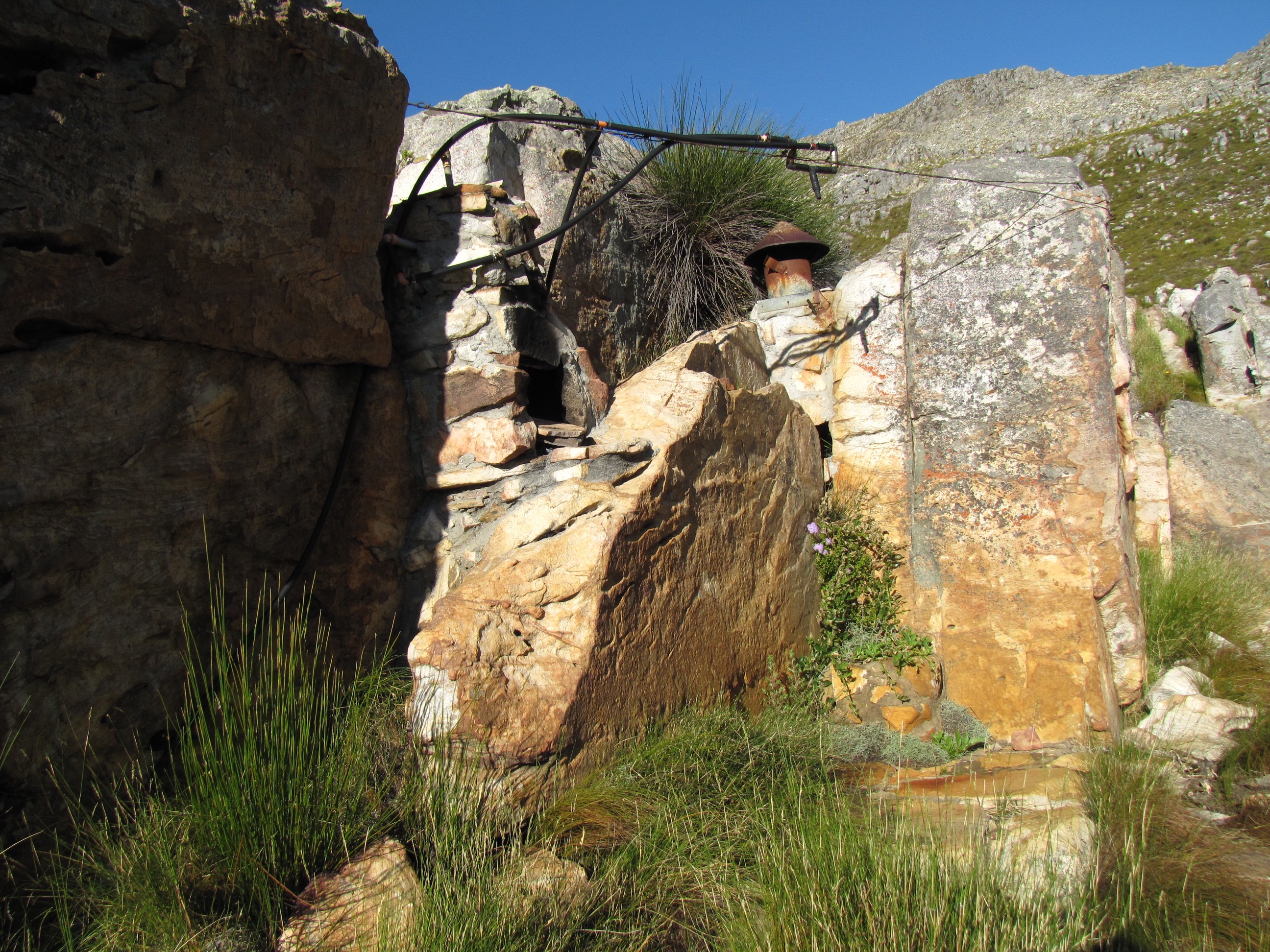
When we arrived at the top, we were greeted by this outside shower.  Heaven on earth to have a cool down shower with probably the most perfect view one can find anywhere in the world.
IMG_2189

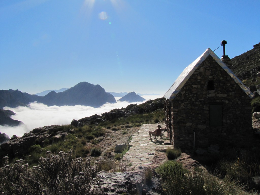
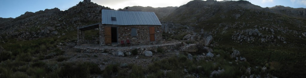
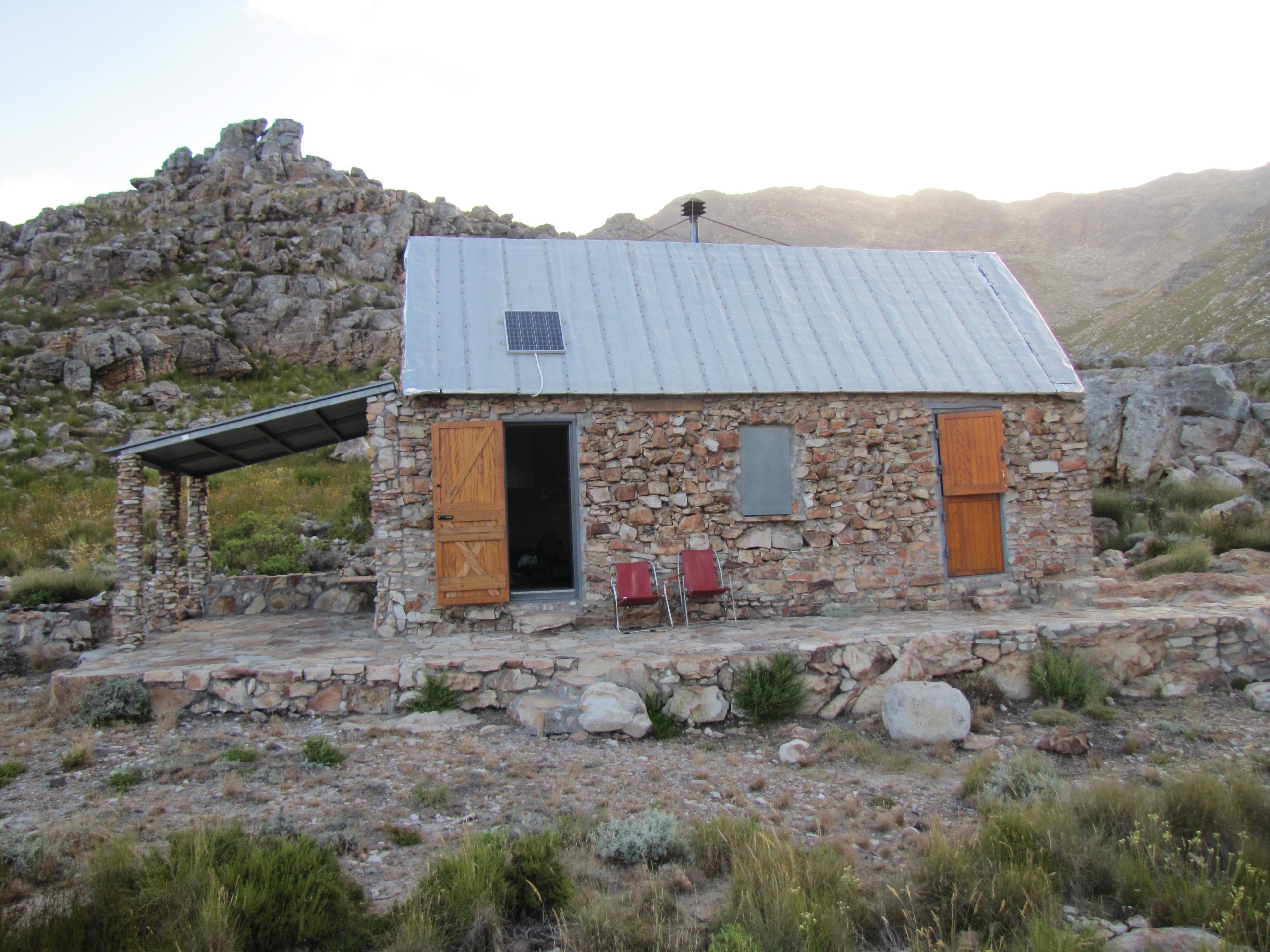
Our home for 2 nights.
IMG_2163

On the morning of 2 Jan 2016 we started at 6am with our way down and was back at our car before 9am, less than 3 hours for the hike down and that included a swim in the same pool we swam in on our way up.

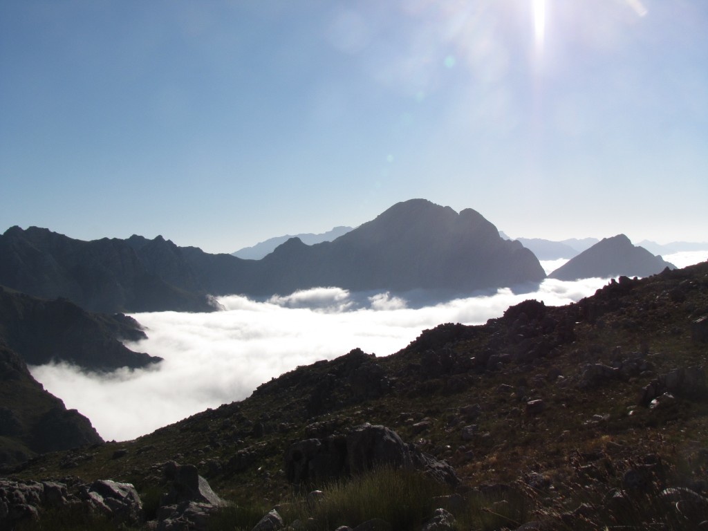
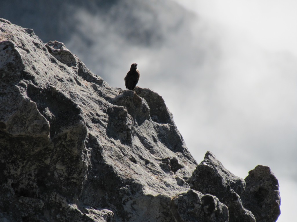
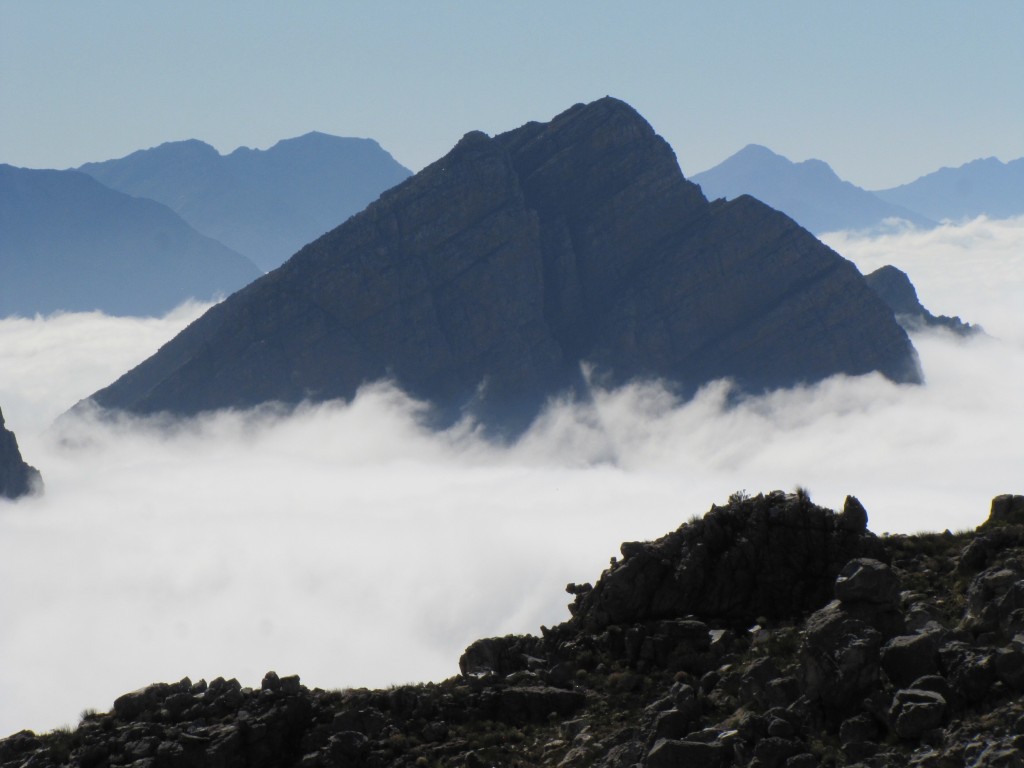
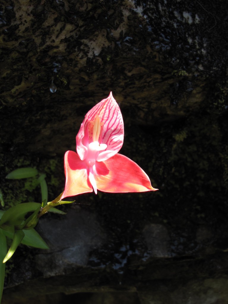
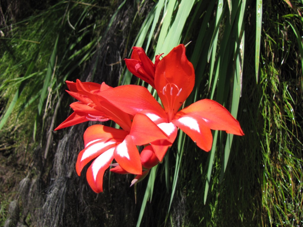
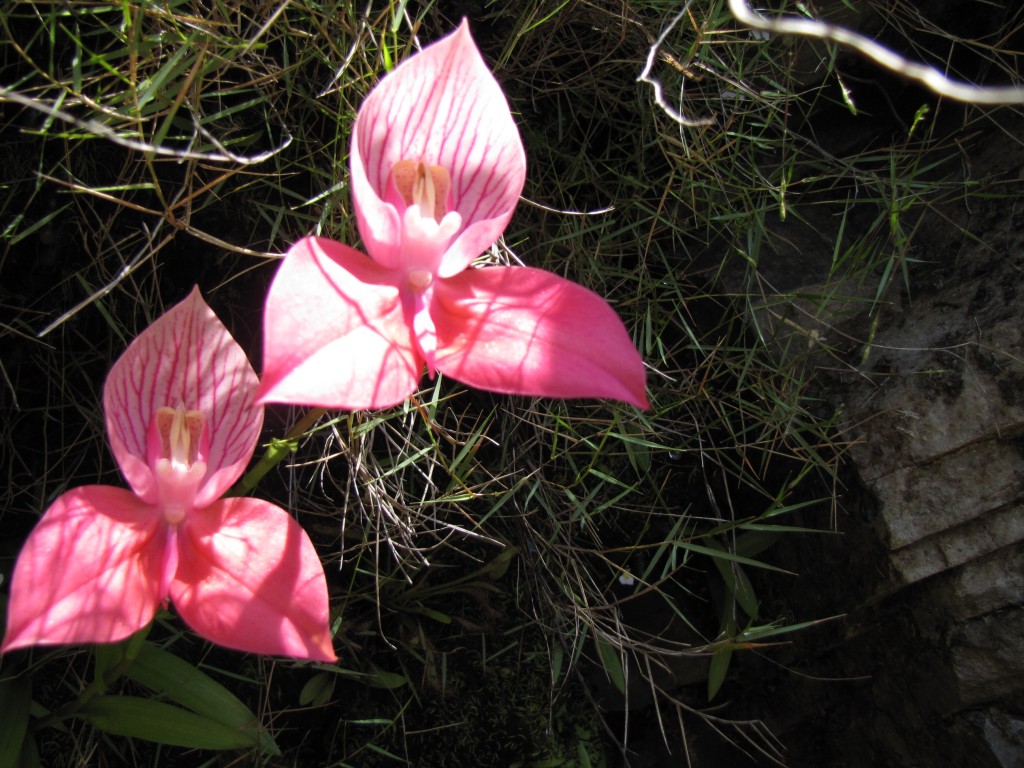
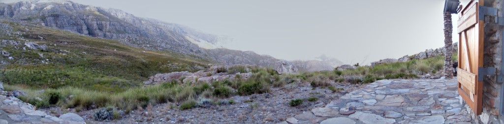
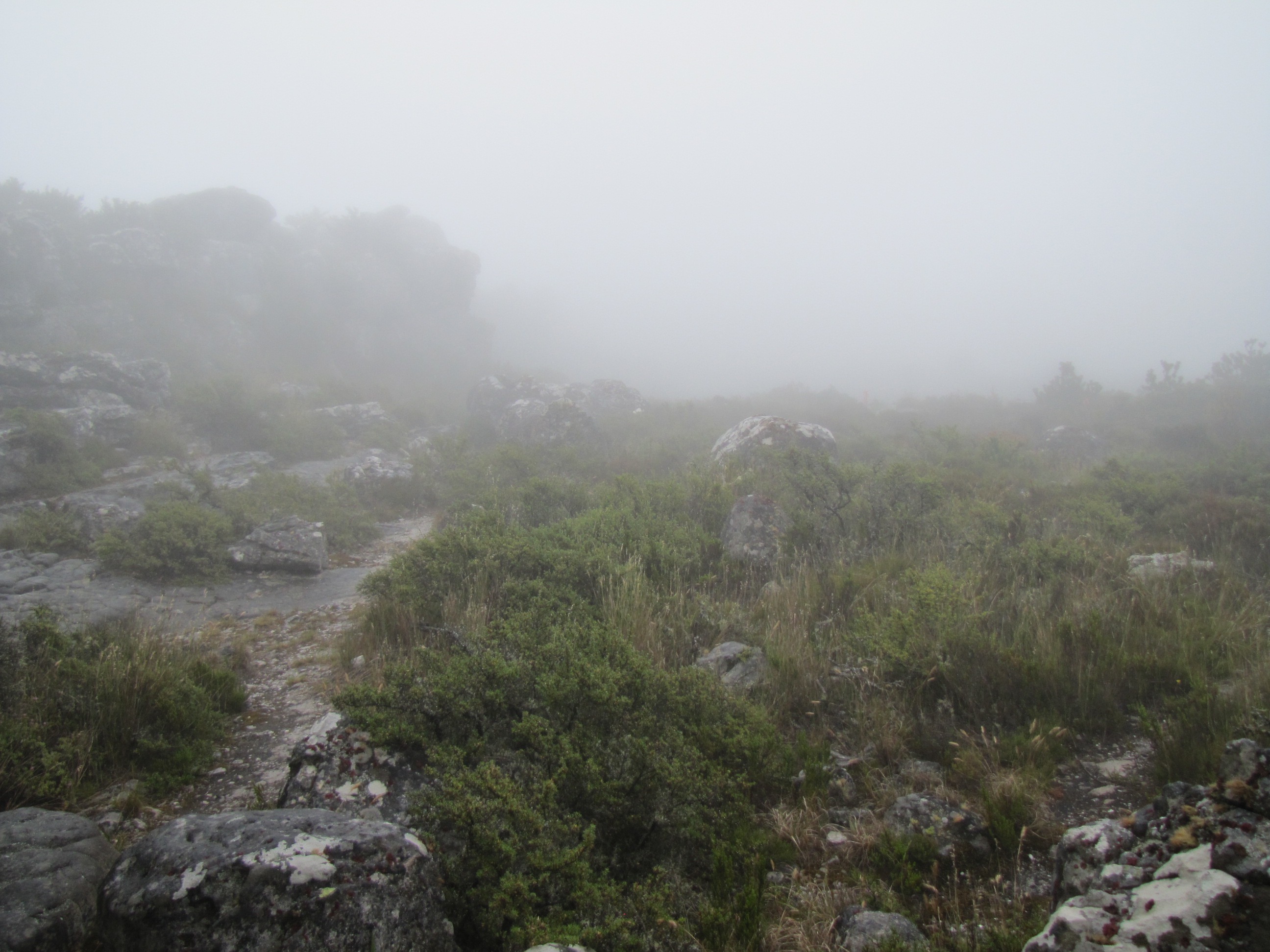
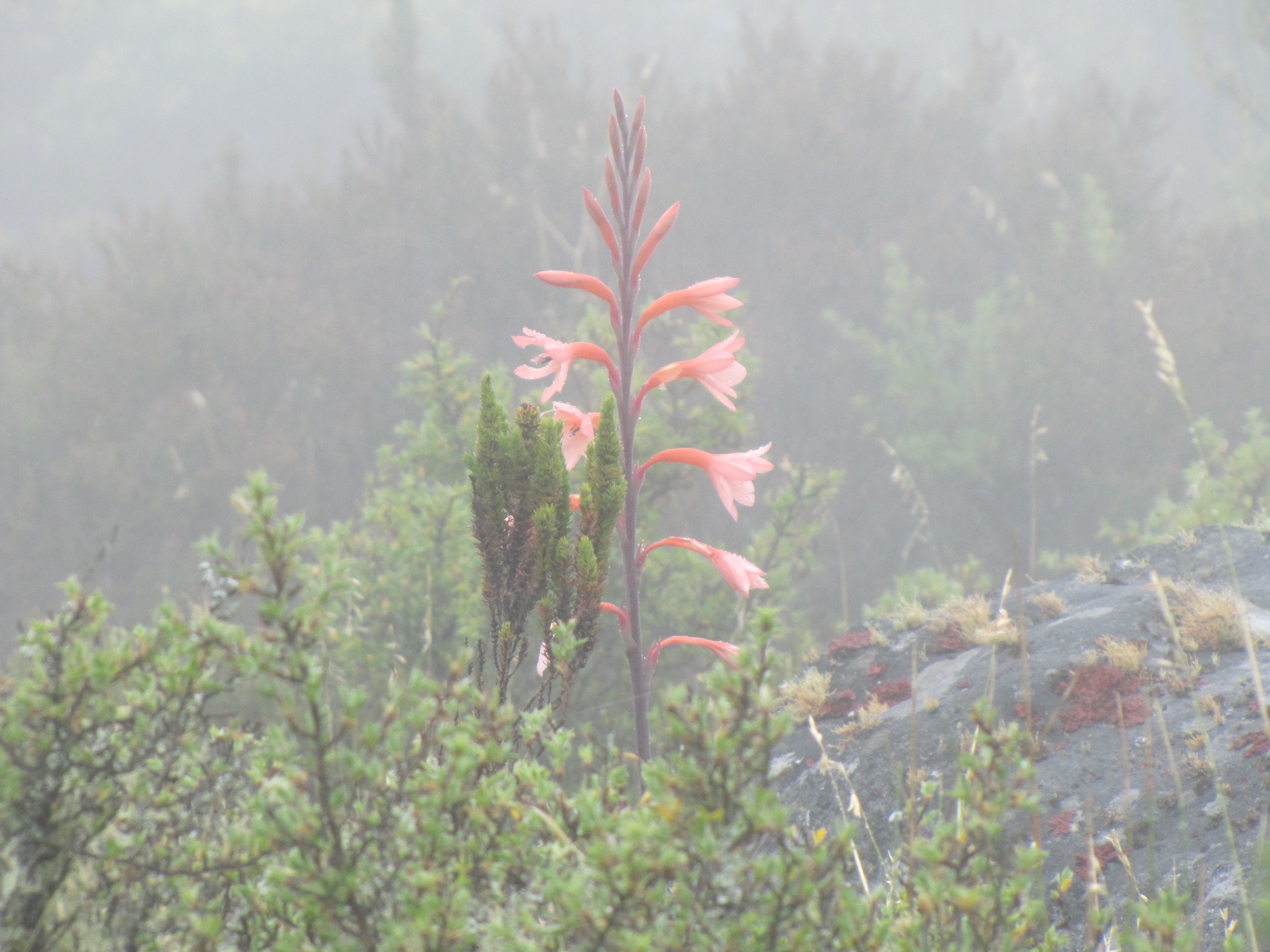
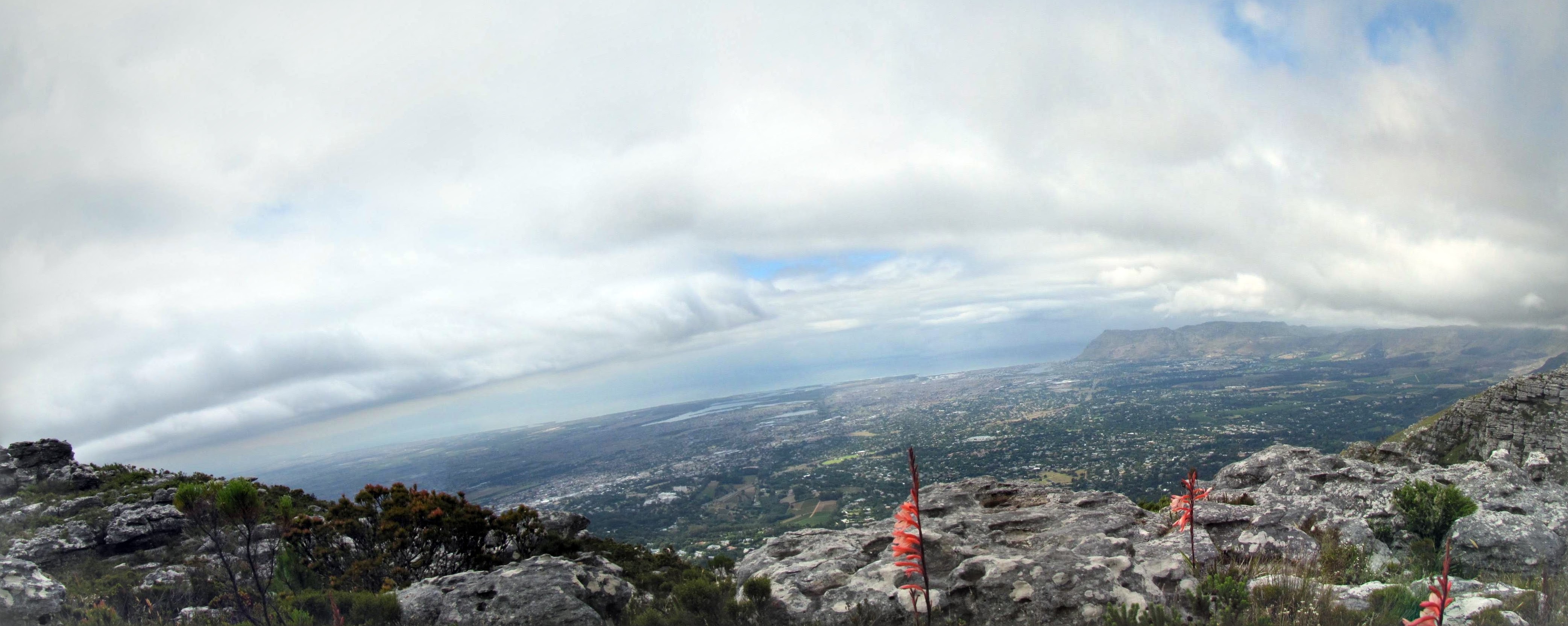
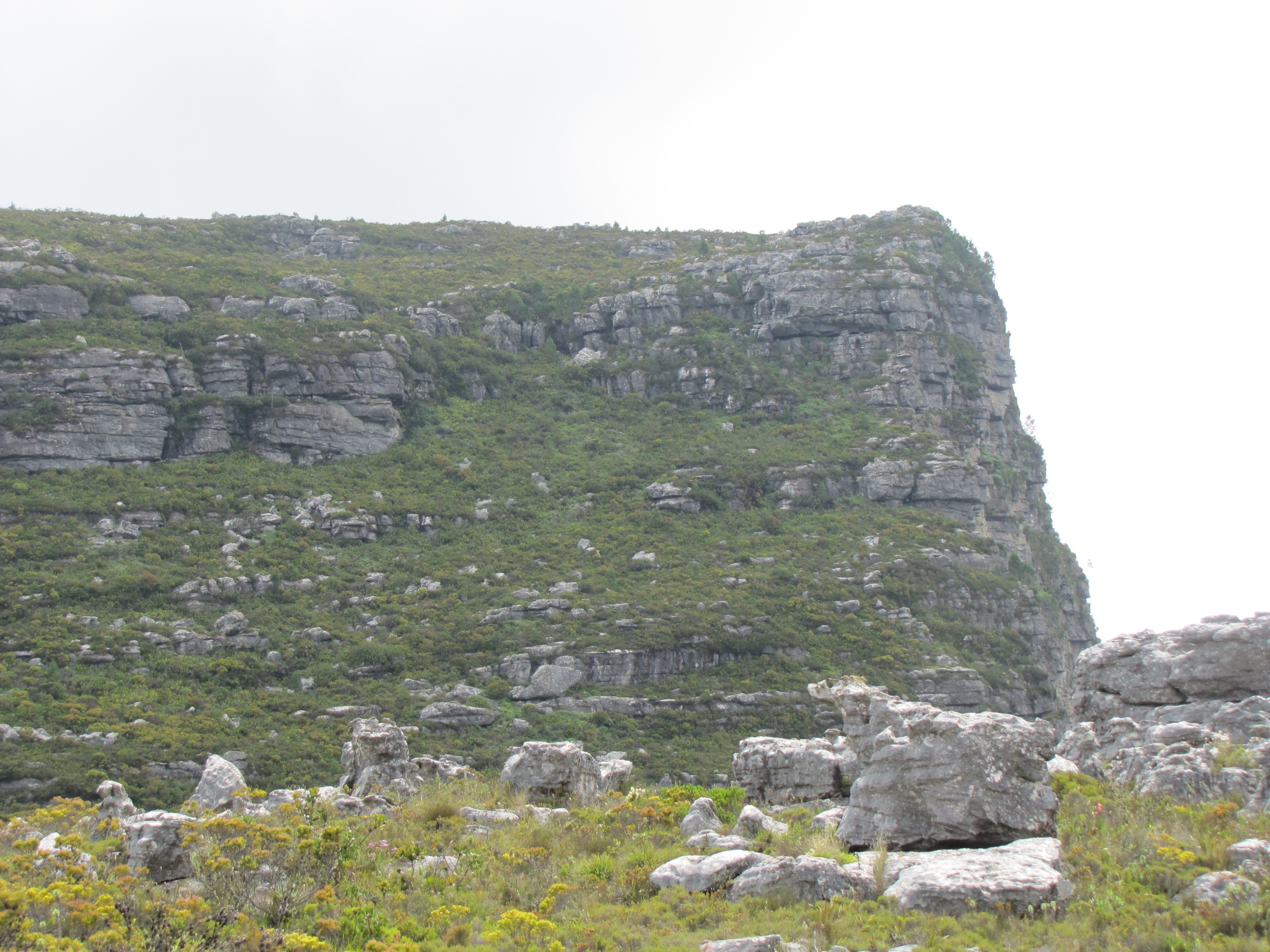
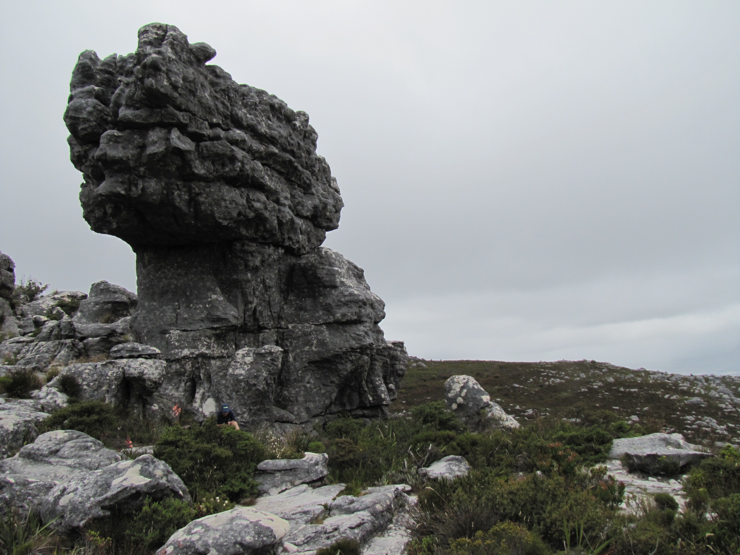
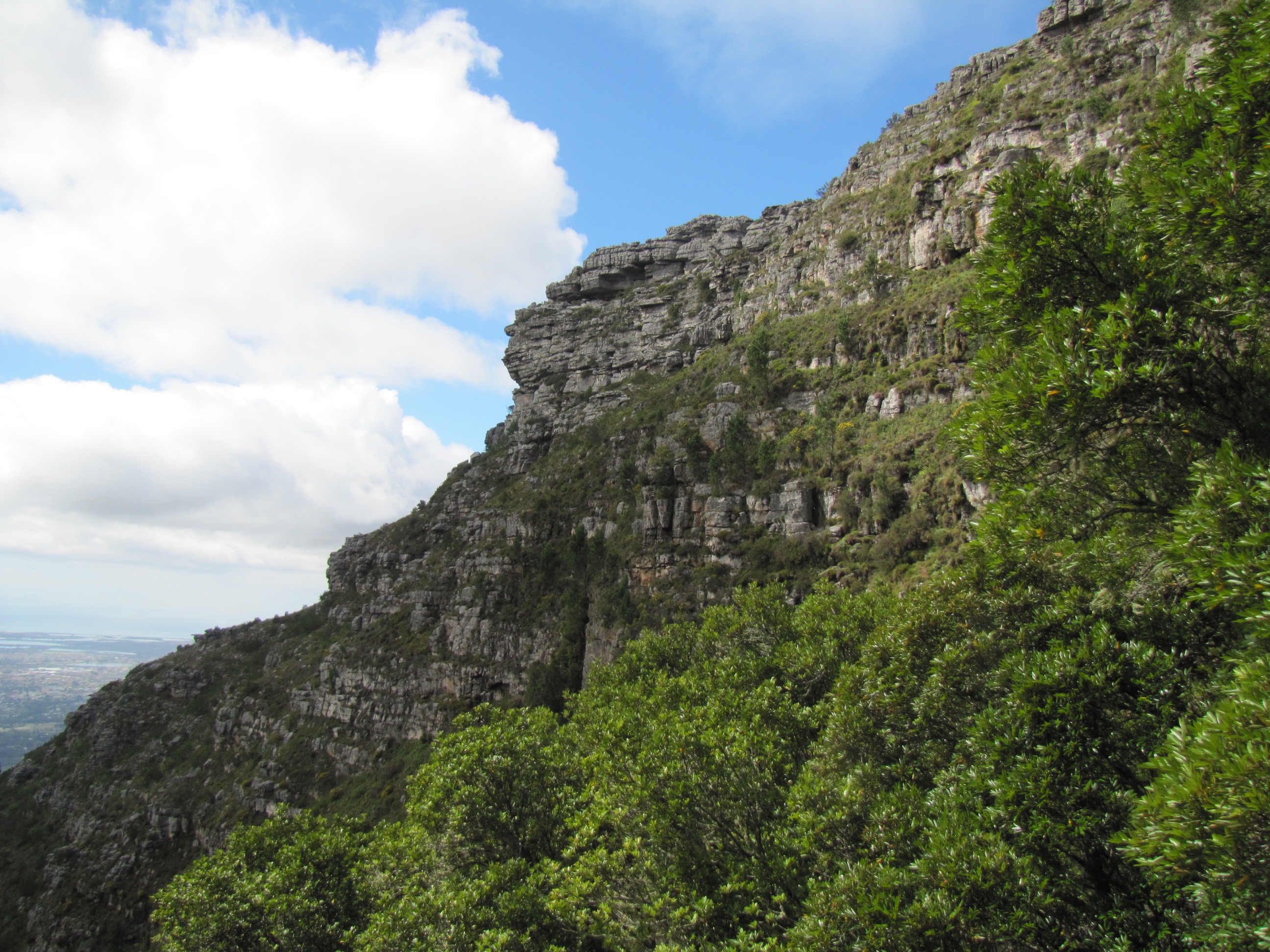
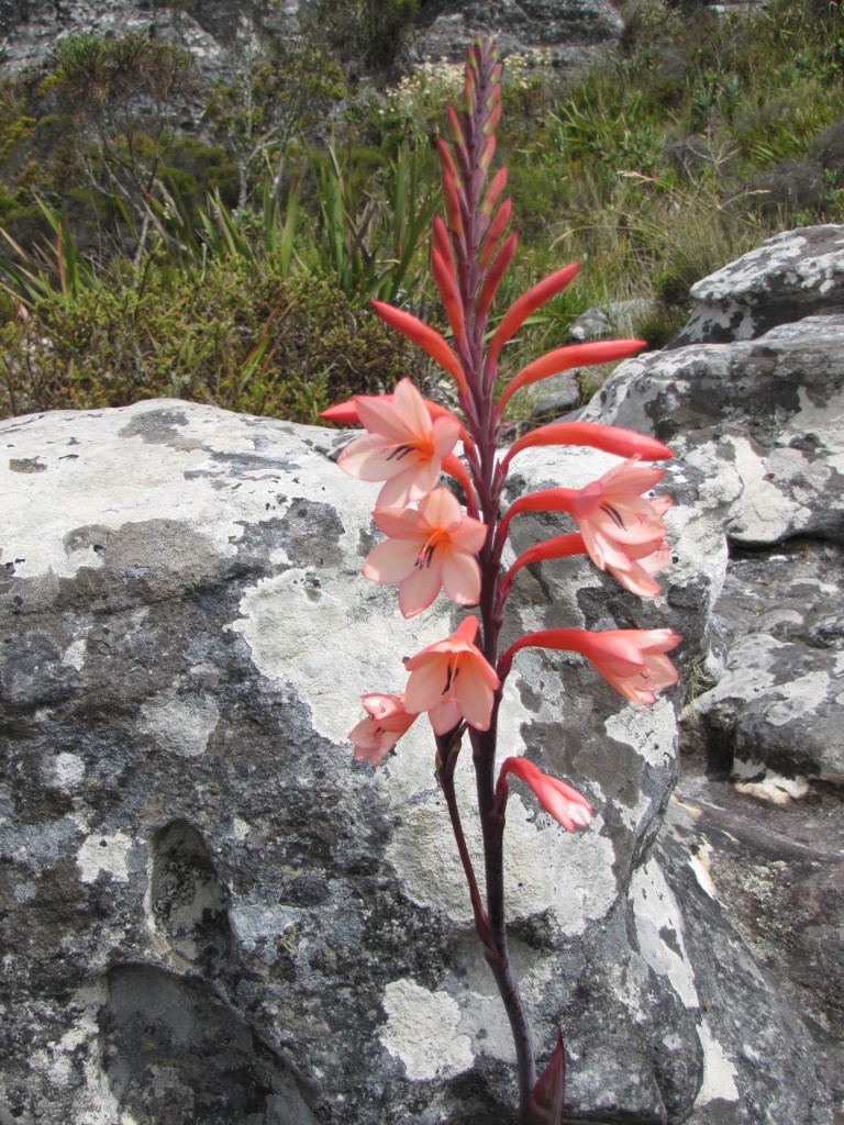
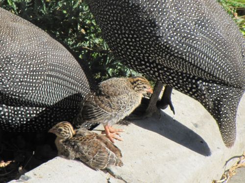
Here are some of the photos I took with beautifull flowers, visitors that came to visit and a view of the clouds from atop.  Enjoy and would love your comments.

Hike — Kromrivier Hut — 28 Des 2015

Spend the laast couple of days of 2015 in the mountains at a hut belonging to the Paarl/Wellington section of the Mountain Club of South Africa.

To get there one take the old Du Toitskloof pass and just after the highest point take the turnoff to the Telkom tower. One has to pre-arrange access through the Telkom gate and after that drive for about 3km to a parking area to leave one’s car.  Then it is a fairly easy walk of 2.2km down to to the hut. See Google map:

Here is a view of the hike as tracked by Runkeeper:
Hike in to Hut - 28 Des

All the ammenities like toilet, running water and even gas is available. Close to the hut is a pool to cool off in the December heat. It was such a peacefull and beautifull place so see out 2015.  We stayed their 2 nights and walked out on the morning of the 31st again.  Enjoy the photos.

Table Mountain, Maclear’s Beacon via Skeleton Gorge

Hiked to Maclear’s Beacon on top of Table Mountain via Skeleton Gorge.

It was a nice sunny day when we started at the bottom at Kirstenboch Botanic Gardens but when we arrived at Maclear’s Beacon, the miss has come in and we could hardly see in front of us.  Just show how dangerous hikes up Table Mountain can be.

IMG_1997IMG_1998

Before the miss set in we had some great views from atop of the Mountain.

IMG_1976-PANOIMG_1982IMG_1991IMG_1980IMG_1961IMG_1974

Flowers on top of the mountain is always beautifull.  Unfortunately the Disa is not flowering yet and Proteas neither.  However saw some beautifull flowers.


Almost full moon, experiment with zoom on Canon Powershot SX20 IS

The moon was almost full on a perfect Cape winters evening.  Good time to experiment with the zoom on my Canon Powershot SX20 IS. I am very hesitant to use the digital zoom on any camera but as you can see from the photo at the bottom, even at 4x Digital, it is not that bad.

Focal Length: 53.8mm (10.7x Optical and no Digital)

Focal Length: 100mm (20x Optical and no Digital)

Focal Length: 100mm (20x Optical and 1.54x Digital)

Focal Length: 100mm (20x Optical and 4x Digital)

One can see it is a bit grainy at 4x Digital but anything between 1.5x and 2x Digital is great.

Click on the image to see a larger one.  Also you can see more in my Picasa Album.