Discovery Vitality Active Rewards discriminate against hikers.

I am a member of Discovery Vitality Active Rewards program which encourage exercise through exercise.  Each week, which run from Saturday till the following Friday, a points goal needs to be achieved for certain benefits and awards needs to be obtained.  For example, 100 points gets allocated for taking more than 10000 steps.

However the points allocated are highly scewed towards gym exercise, running or cycling and totally discriminates against hikers.  I am going to use a hike I did past Saturday, 21 May 2016 to explain my point.

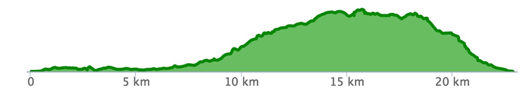
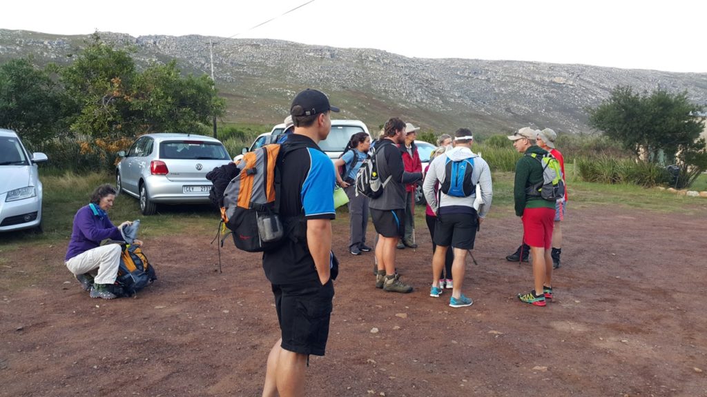
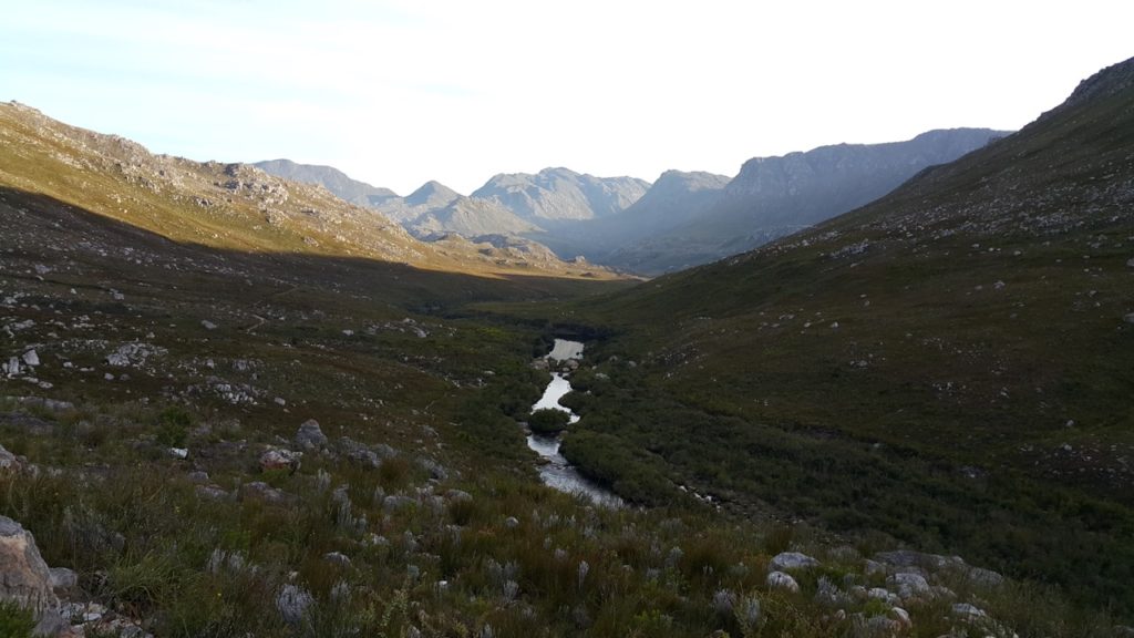
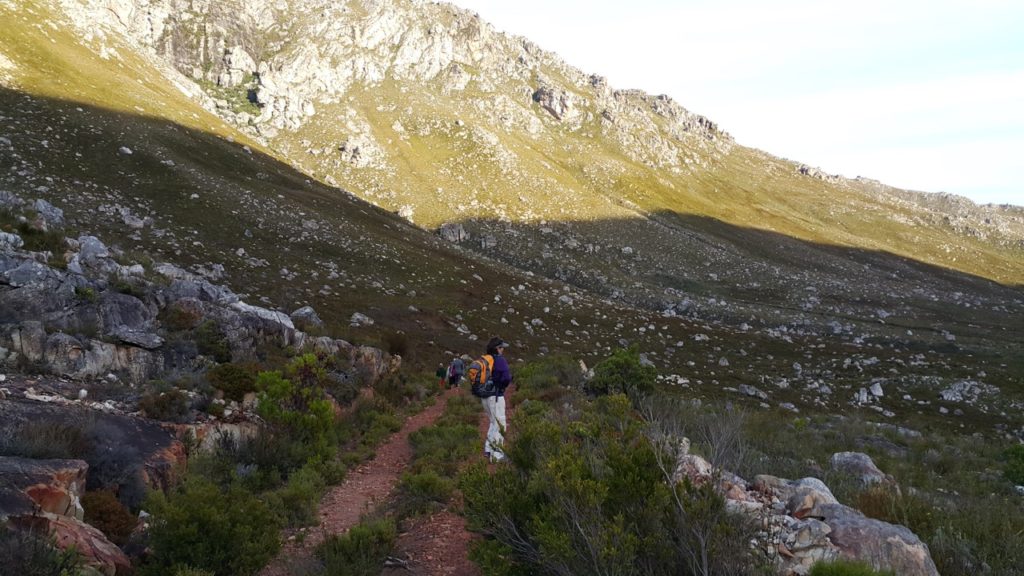
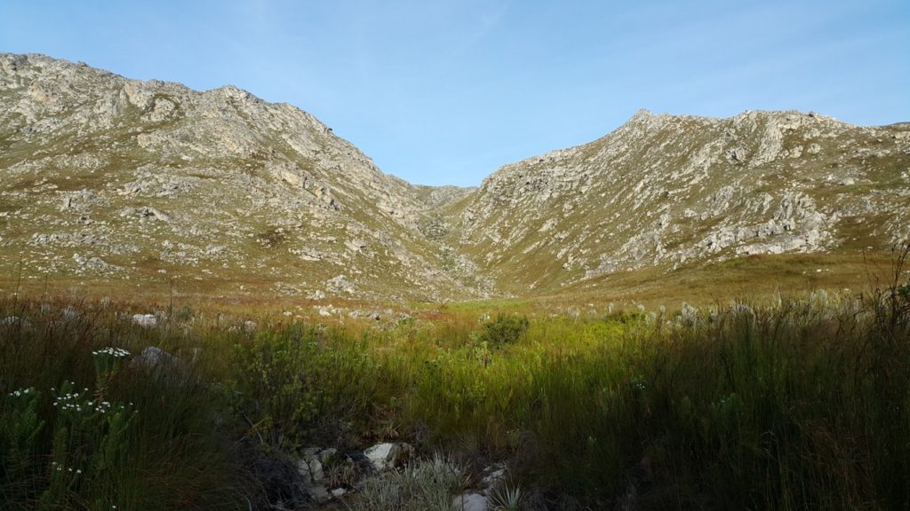
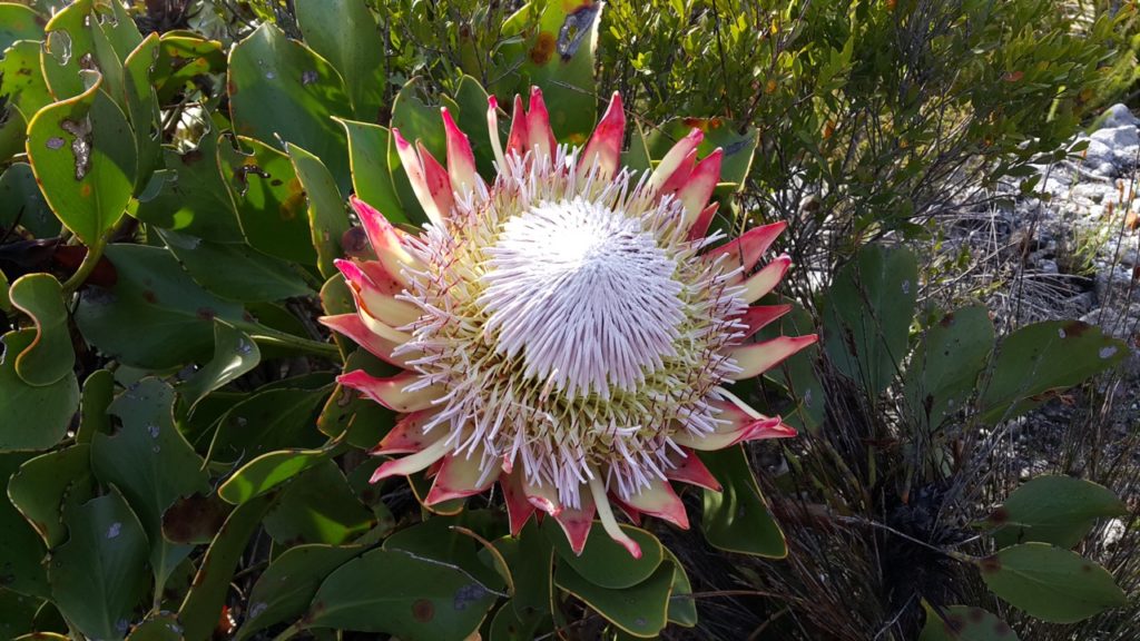
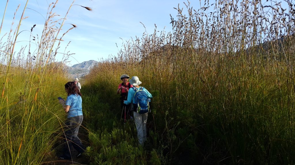
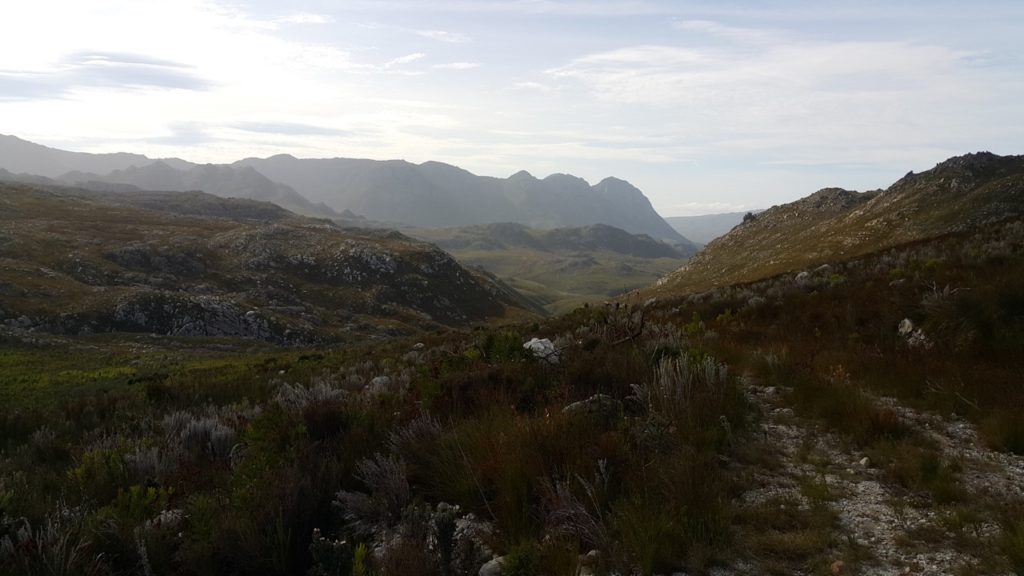
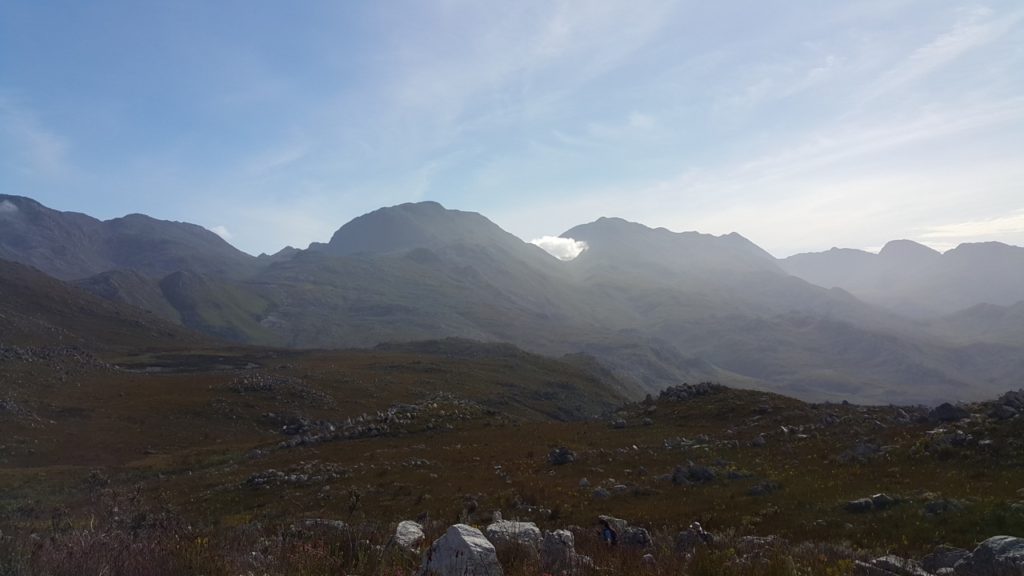
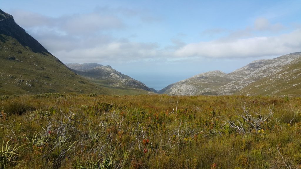
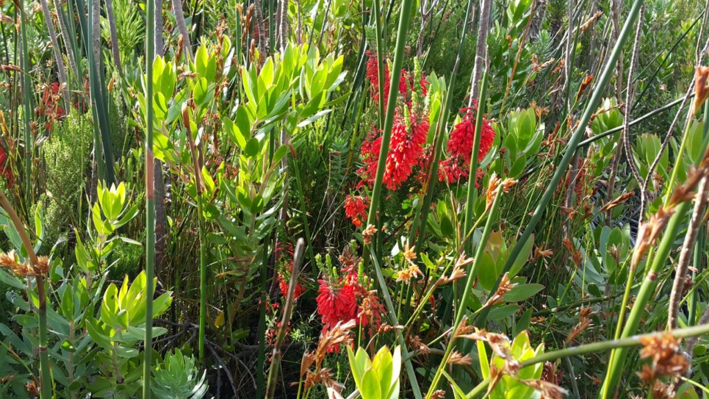
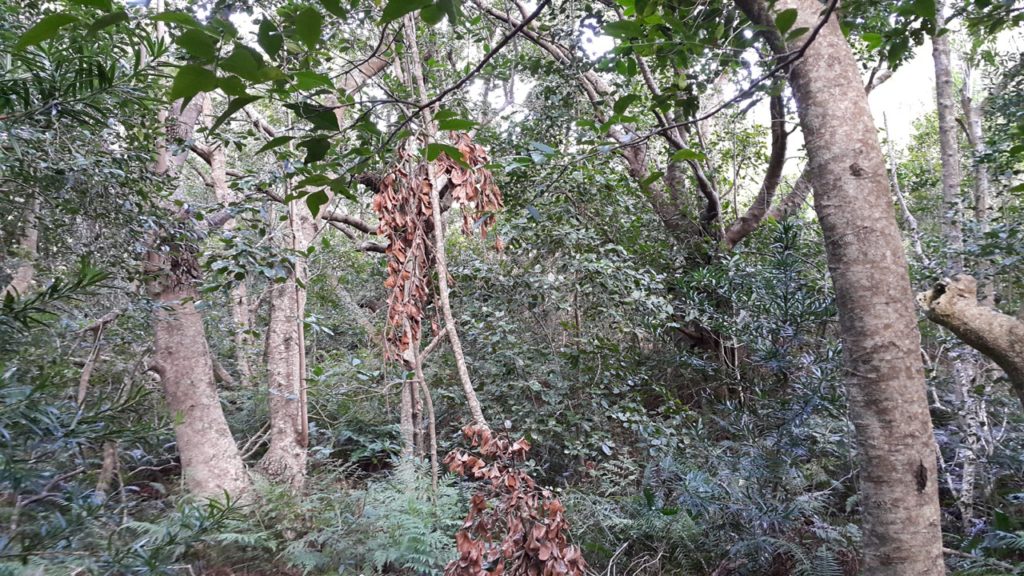
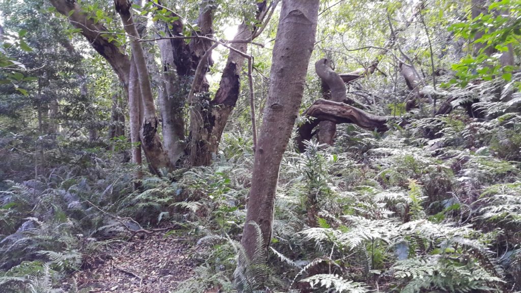
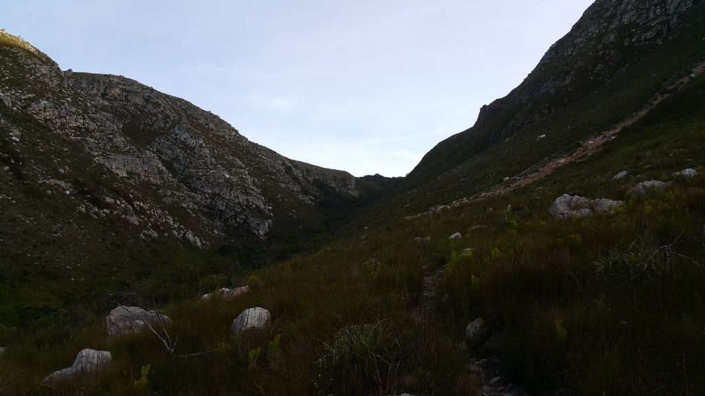
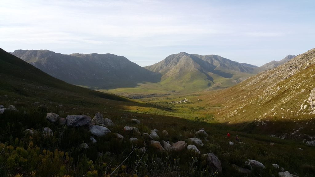
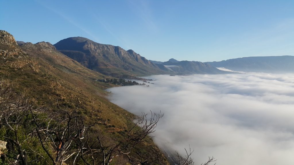
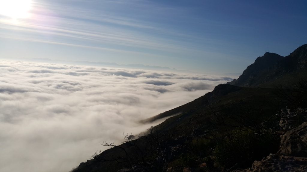
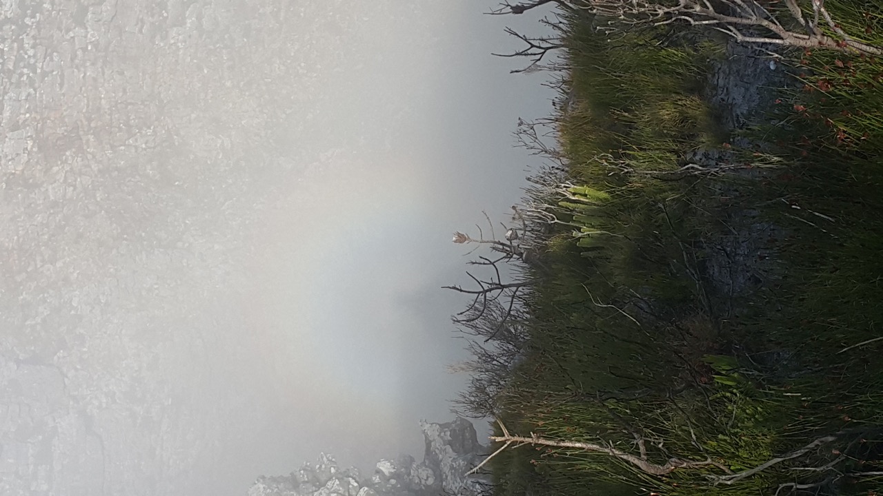
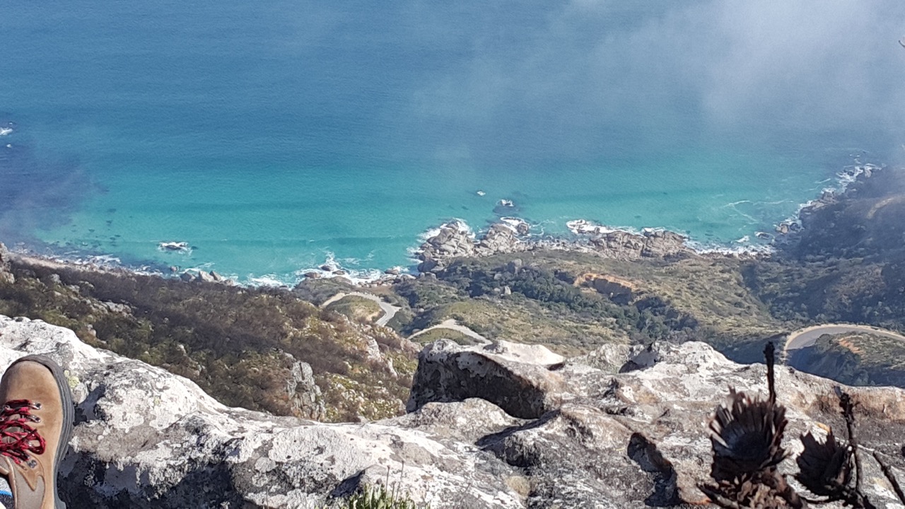
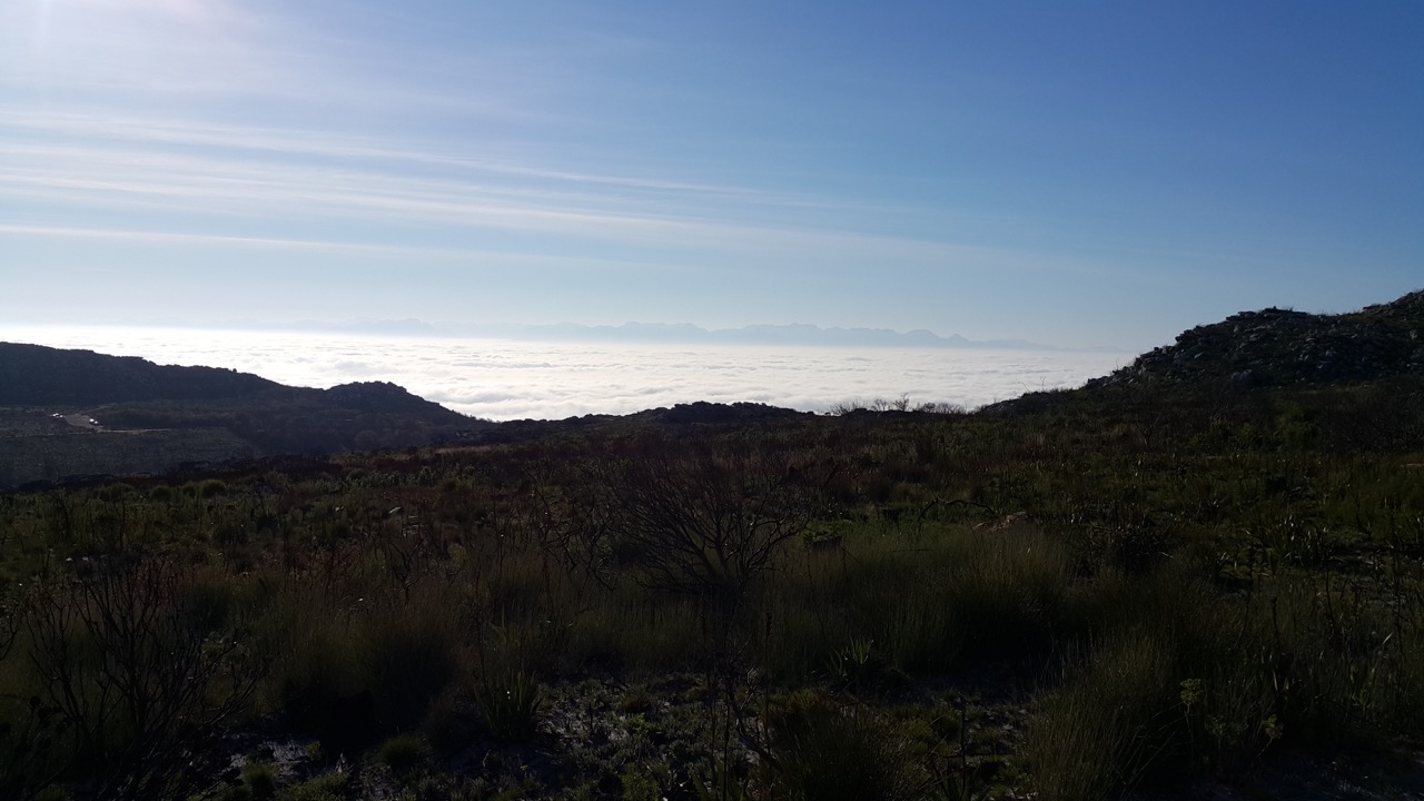
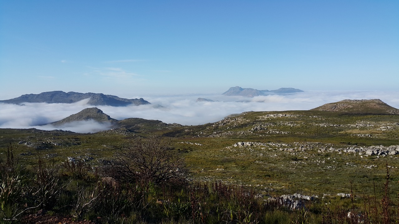
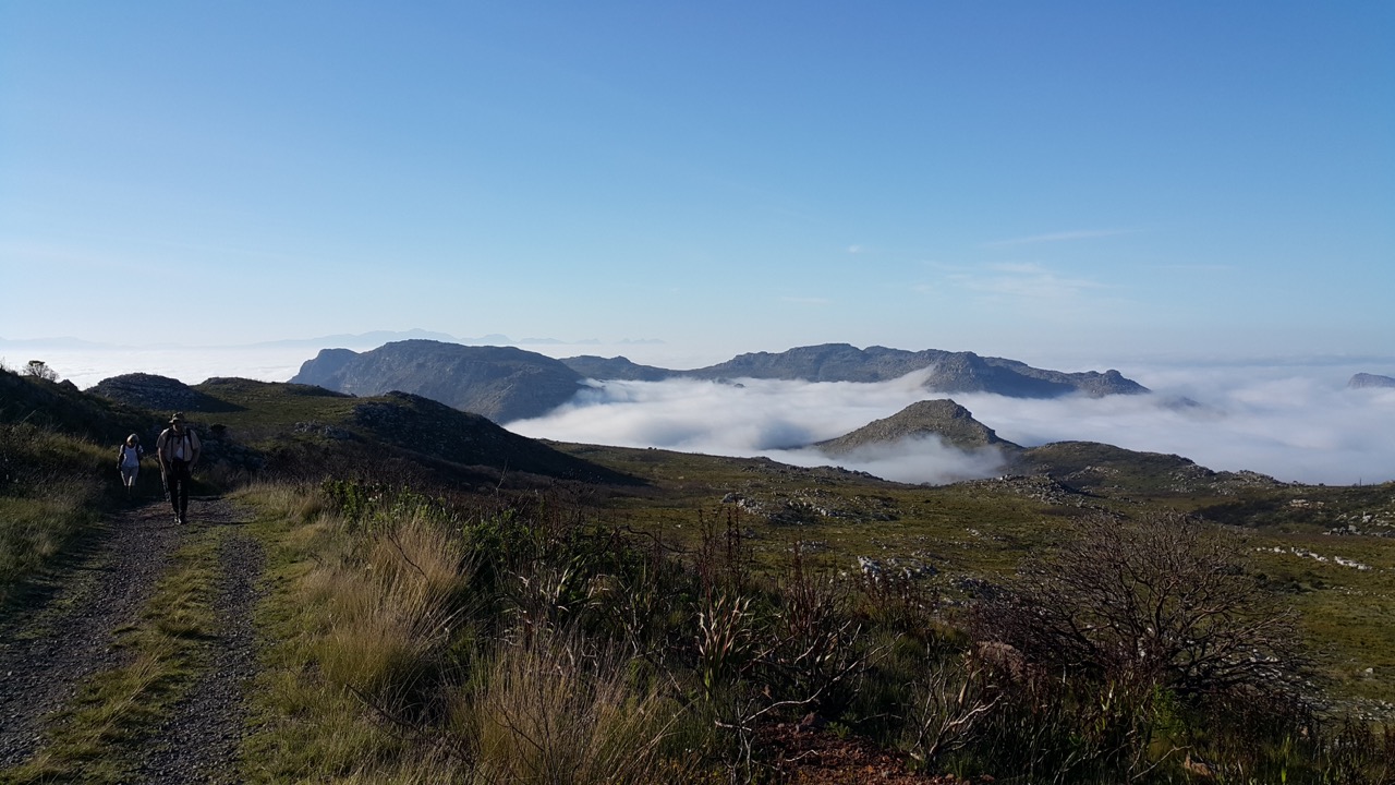
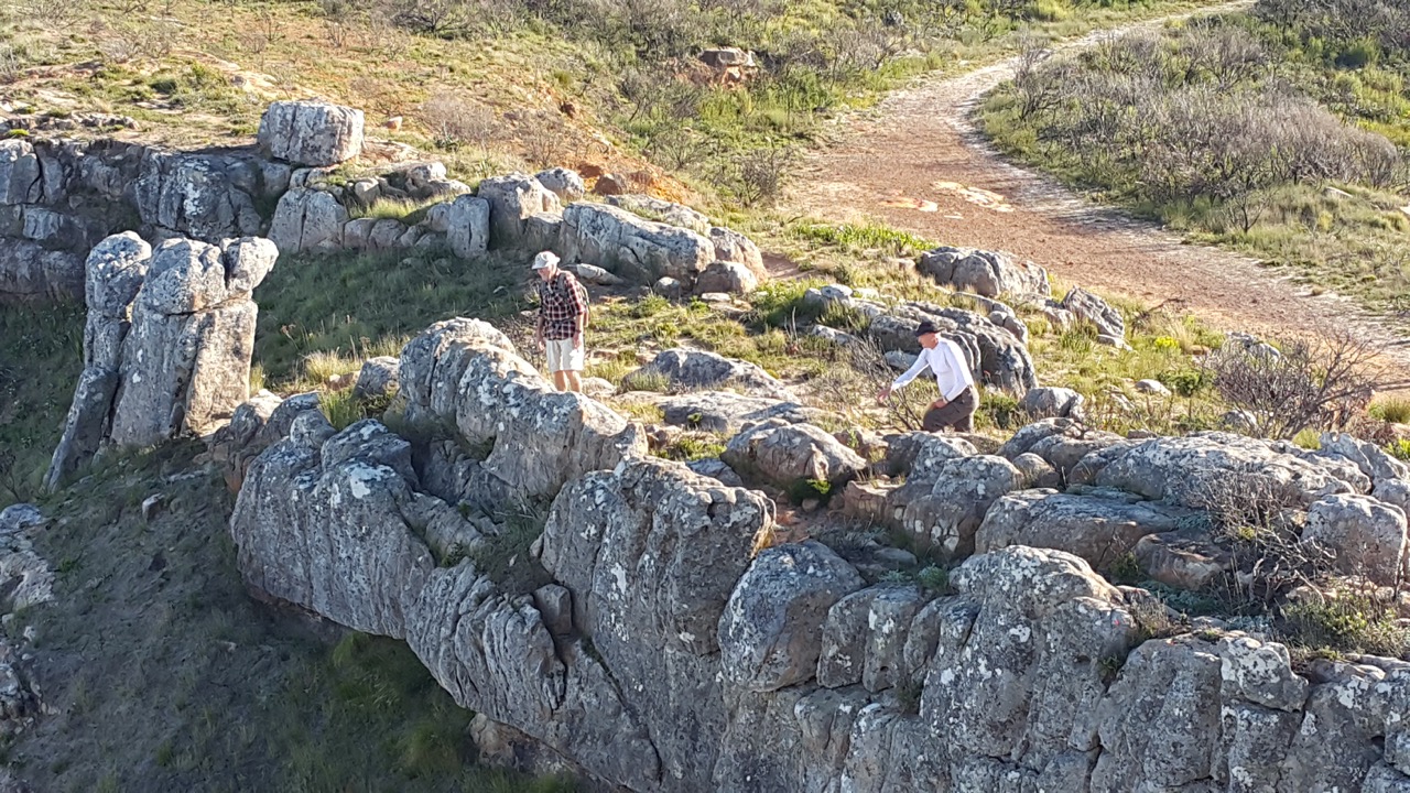
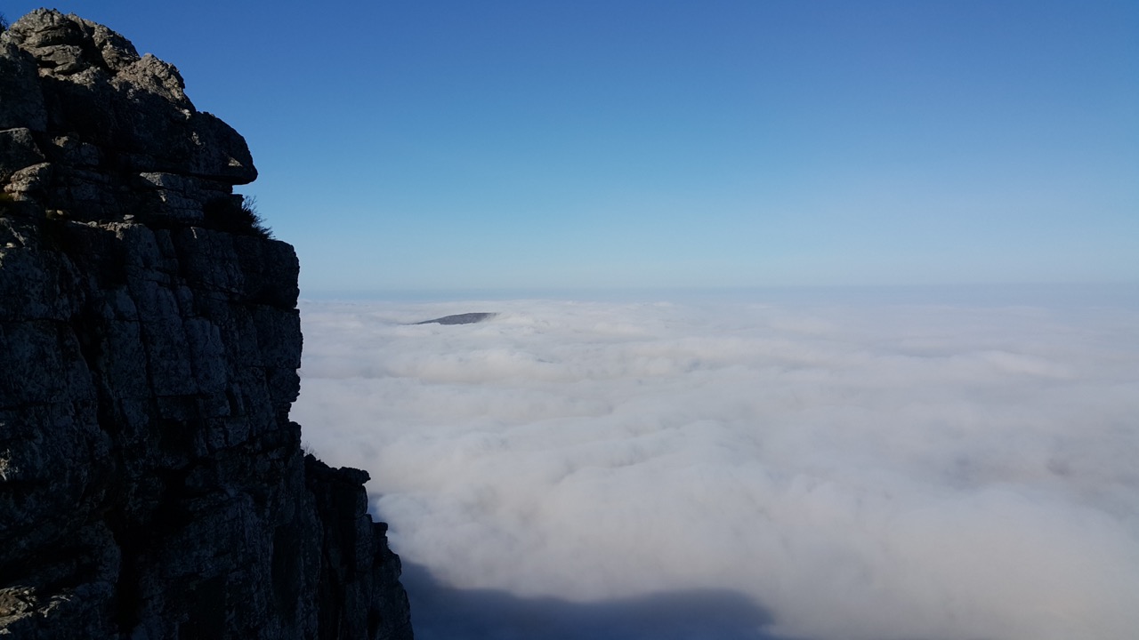
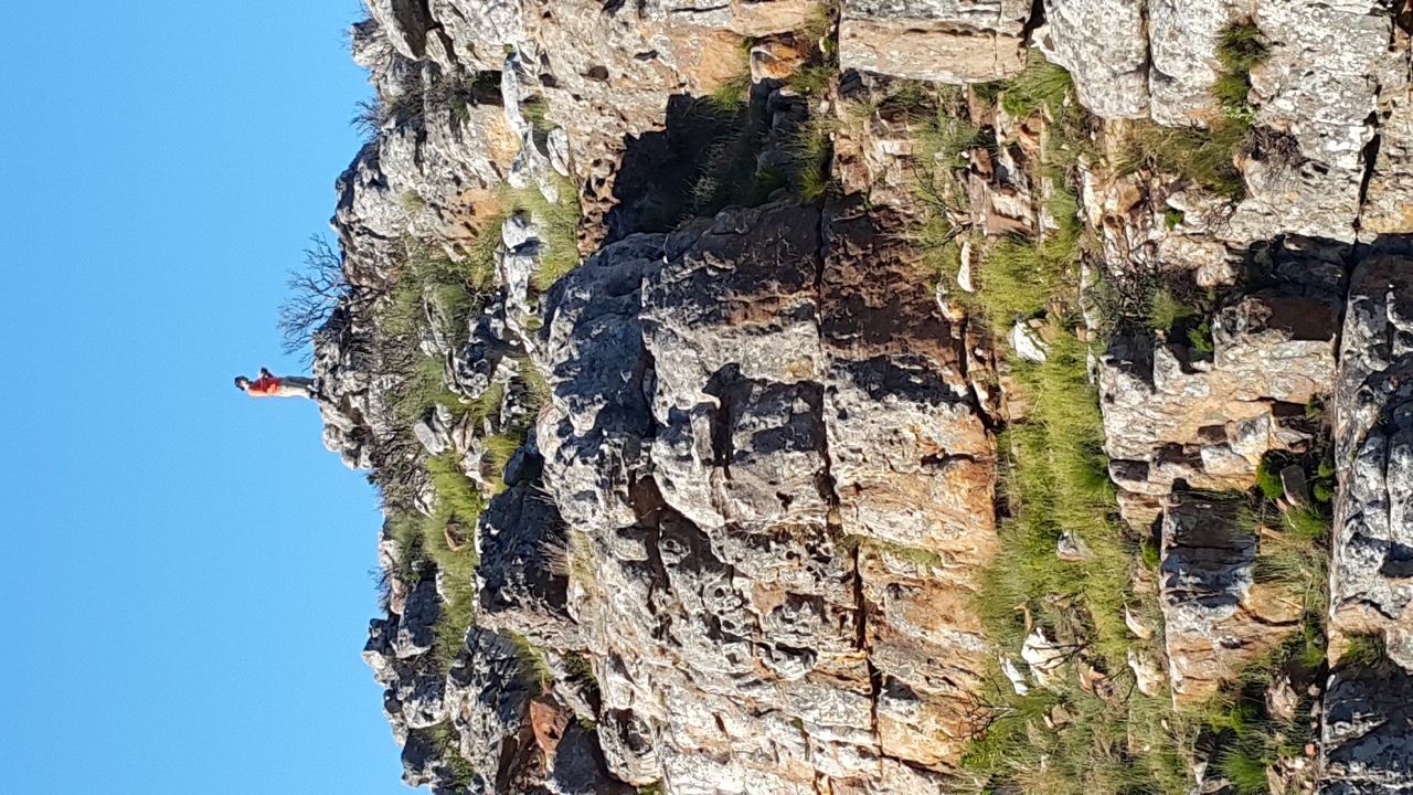
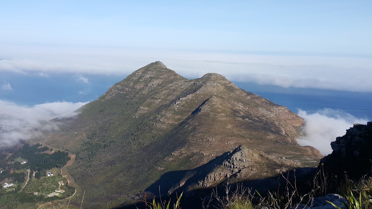
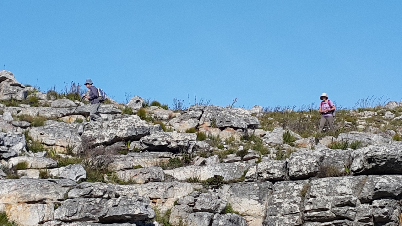
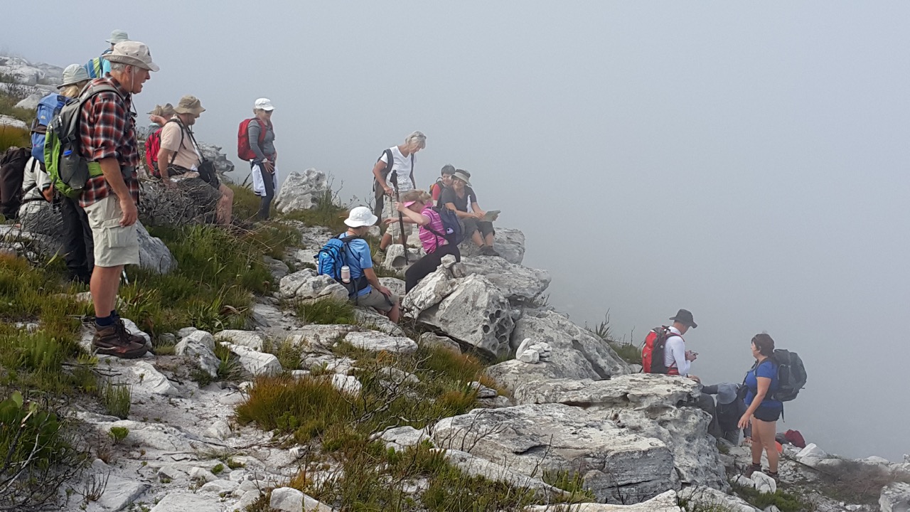
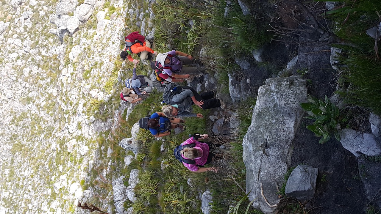
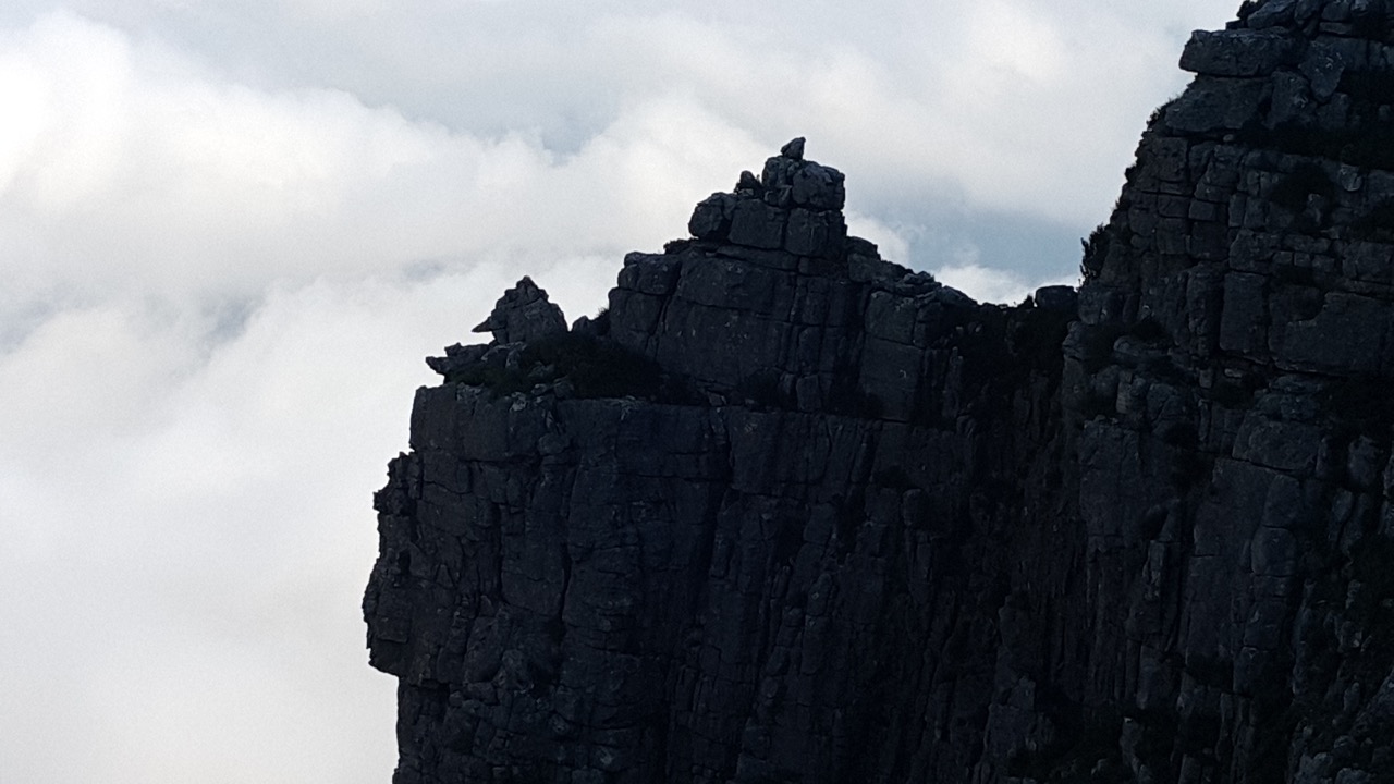
I hiked for 23.27km in the Kogelberg Nature Reserve over rugged terrain and up and down mountains carrying a daypack with water and food for the day.  I use Runkeeper to track the hike and here is a screenshot of the hike with the details:
Runkeeper map - 20160521

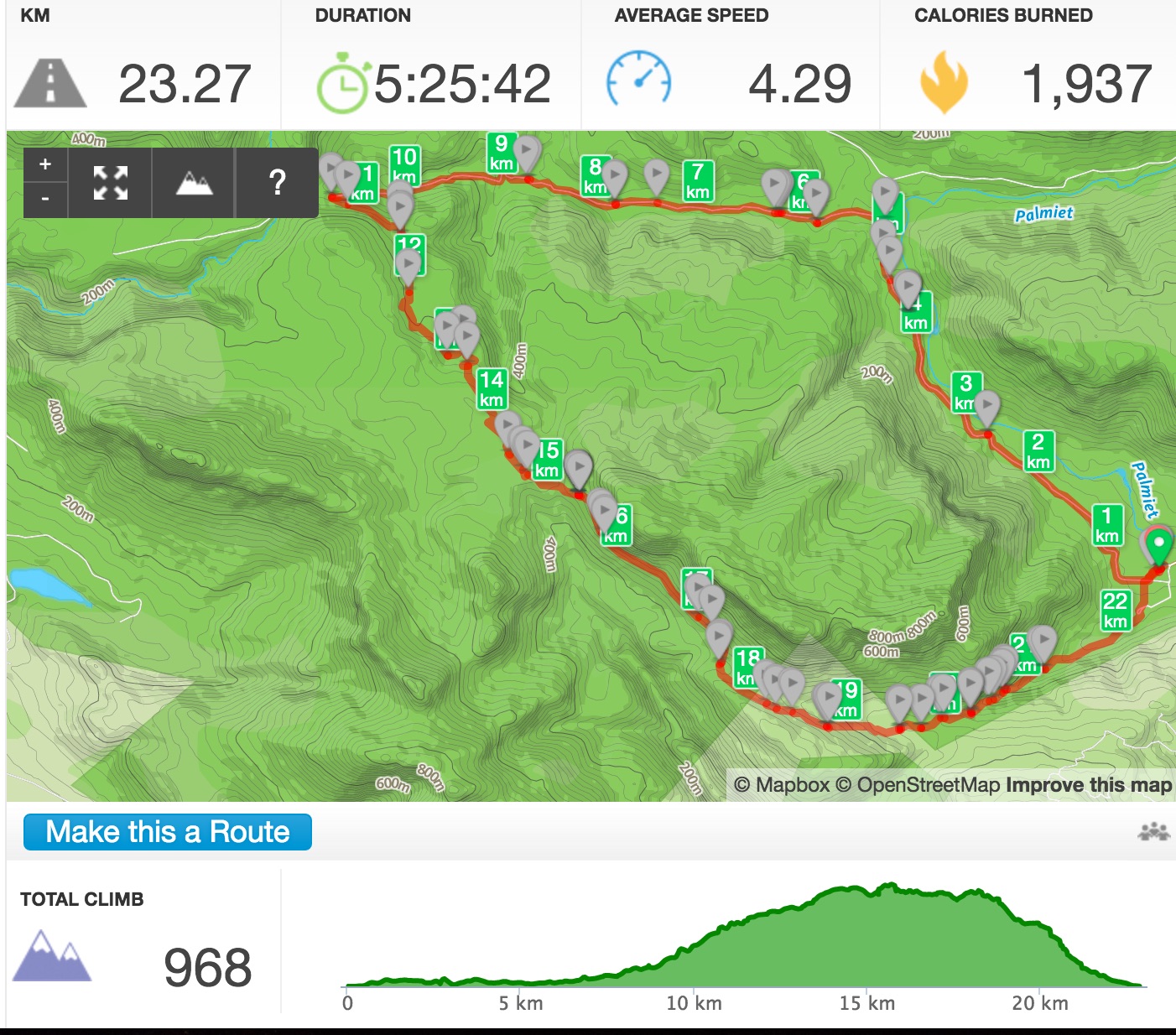
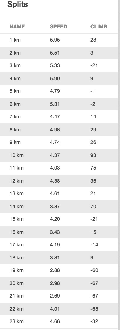
Here is the splits per km:
Runkeerper splits - 20160521

and below is a Google Map which show the terrain that was hiked.

With Samsung SHealth app I also tracked my steps (37000+ steps) for the hike (This is from Discovery site and as reported to Discovery):
Steps - 20160521

and here is what Discovery allocated to me for the hike (100 points):
Vitality points received - 20160521

So Discovery have awarded me with 100 points for a 23.27km hike that took 5 hours and 25 min of actual hiking with over 37000 steps taken.  The total time with breaks was 7 hours and 30 min.  Am I the only one that think this is discrimitarry when 90 min in a gym will get you 300 point and a hour run will also give you the 300 points. Even a short Parkrun will get you 300 point. If I spend 5 hours plus running or in the gym or cycling then I would get much much more points.  And please do not tell me that hiking in the mountain at an average pace of 4.3 km/hour for over 5 hours is not as strenuous as gym or running. This just does not make any sense??

Me being an active hiker and the way I do my exercise will never get more than 100 points for a hike irrespective of the distance or the difficulty and most hikes are strenuous and difficult. My current weekly goal is 600 points and since I will never get more than 100 points per day, it is almost becoming impossible to reach my goal so why should I even bother to take part in the program.  I will however not stop hiking.

Would like to hear the views of others so please comment below.  If anybody from Discovery reads this, then I would really appreciate a comment.

Happy hiking and exercise.

Hike – Kogelberg Nature Reserve – 21 May 2016

On Saturday, 21st of May 2016, together with the Mountain Club of South Africa (Paarl/Wellington Section), I hiked the longest route in the Kogelberg Nature Reserve.  The reserve is on the left as you drive from Betty’s Bay to Kleimond.  The entrance to the reserve is on the left just before you cross the Palmiet river.  From Cape Town, it is about one and a half hour drive to get there.

I met up with 13 other hikers from the club and at 8:30am we started our hike.  Below is a map of the route we took and when we finish back at where we started at about 4pm, Runkeeper showed a distance of 23.27km covered with an elevation from 53m at the start and finish and 523m at the highest point – se elevation map below the route map.


Kogelberg elevation

It is a fairly easy hike with steady uphill to the highest point and then a quicker decent down the ravine and forrest.  But since it is so long, almost 24km, it take its toll and is not for the fainthearted and although there are lots of streams with fresh flowing drinking water, ensure you carry enough water also. The veld is mostly fynbos and open areas as can be seen from the photo gallery below. The mountain vistas is just amazing and we were even lucky to see a King Protea in bloom, rare for this time of the year.

Photo Gallery:


Hike @ Silvermine Nature Reserve – 14 May 2016

On Saturday, 14 May 2016, myself and another 17 members of the Gantouw Hiking Club did a 9.2km hike in the Silvermine Nature Reserve.  The reserve was closed for a long time after a devastating fire in 2015 but opened again earlier this year.  The hike is a fairly easy hike (about a 2a or 2b maybe) and below is the map of the route we did. The only part us the piece on the left which include a bit of scrambling up rocks and little bit on the edge of the cliff but nothing dangerous.

The morning started out very misty but since rhe reserve is high up on the mountaing range, we were way above the misty clouds below.  However this made for some great photographs.

With the sun above us and to out backs and the clouds and mist in front below us, I had the rare experience of seeing a Brocken Specktre … yes I had no idea what it was either but had a person in the group who explained it.  It is basically your body that throw a shadow against the cloud below and form a rainbow around your shadow.  Tried to photograph it but did not come out very clear but you should get the idea.

20160514_112152

We had lunch at  Noordhoek Peak bench, on the map above, the point top left.  Here we had a view of the sea below.
20160514_120834

Gallery of photos taken during the hike, enjoy and comments welcome.
20160514_09144420160514_09211520160514_09212620160514_09335120160514_09370720160514_09372720160514_10073120160514_10371720160514_11041320160514_11133320160514_114002_00120160514_114654


Hiking shoes – Keen

As a follow on to my post where I asked what the best hiking shoes are and what I should get.

I eventualy settled for pair of Keen Koven shoes and not boots.  When I tried the boots on, I did not like the way it sat against my ancle. This is what they look like:
mkoven_wp_gargoylered_dahlia_3q

I have done 2 shortish walks over that past couple of days to just walk them in and they feel great.  Now of the the mountains and see how they behave.

They available at Cape Union Mart for R1299.00 … and no this is not a sponsored post at all.