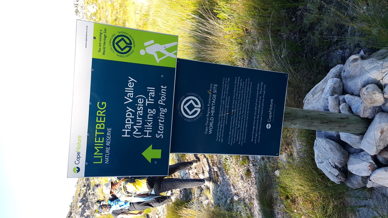
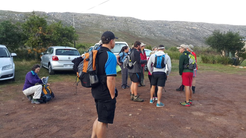
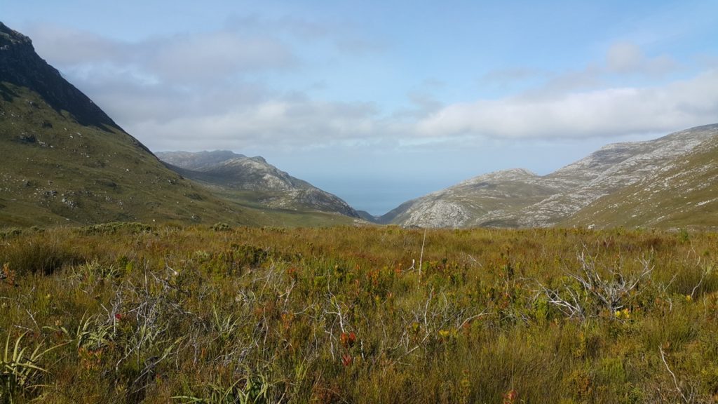
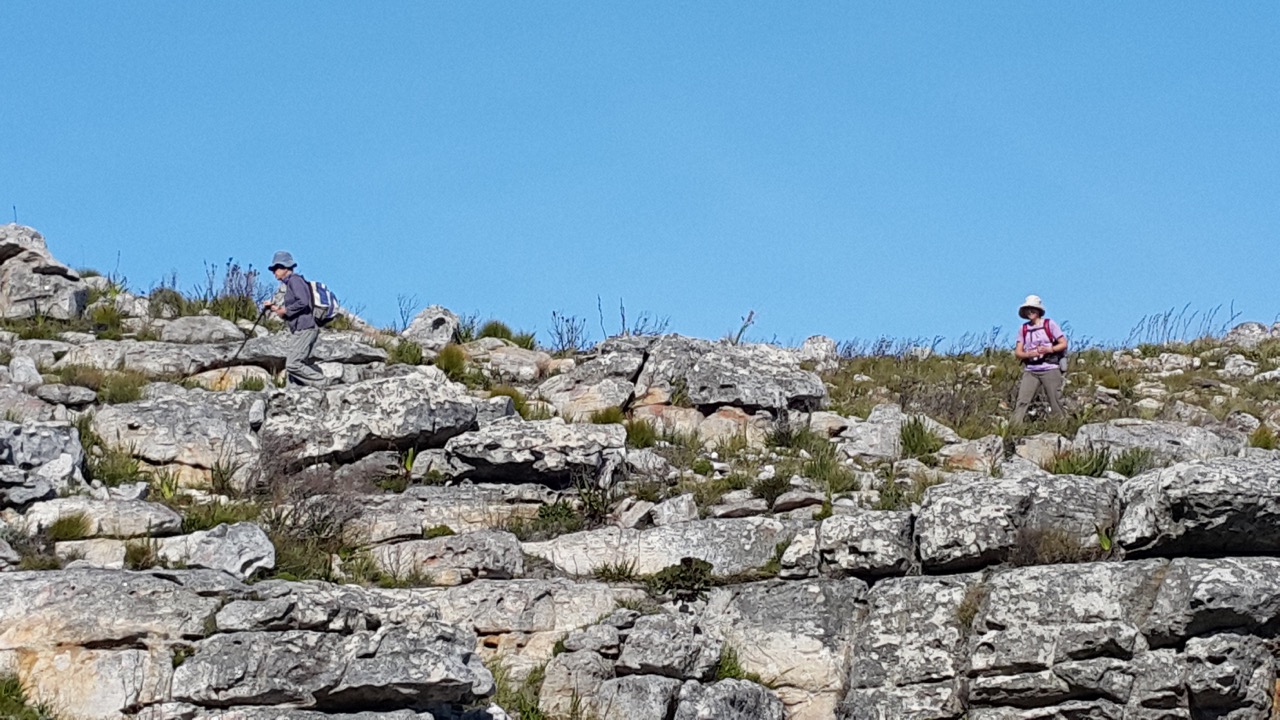
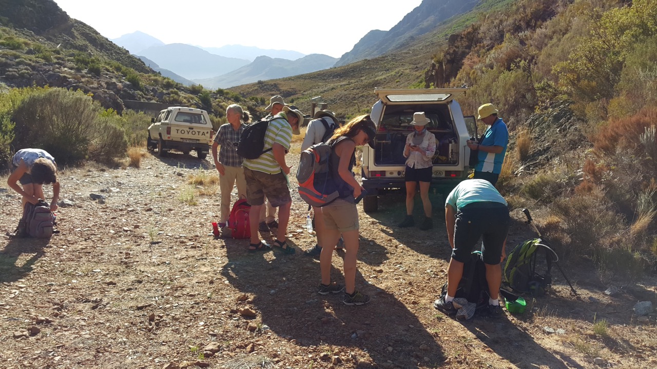
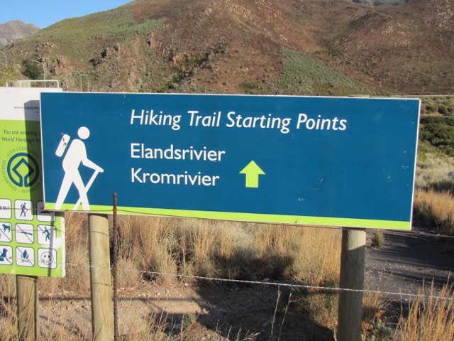
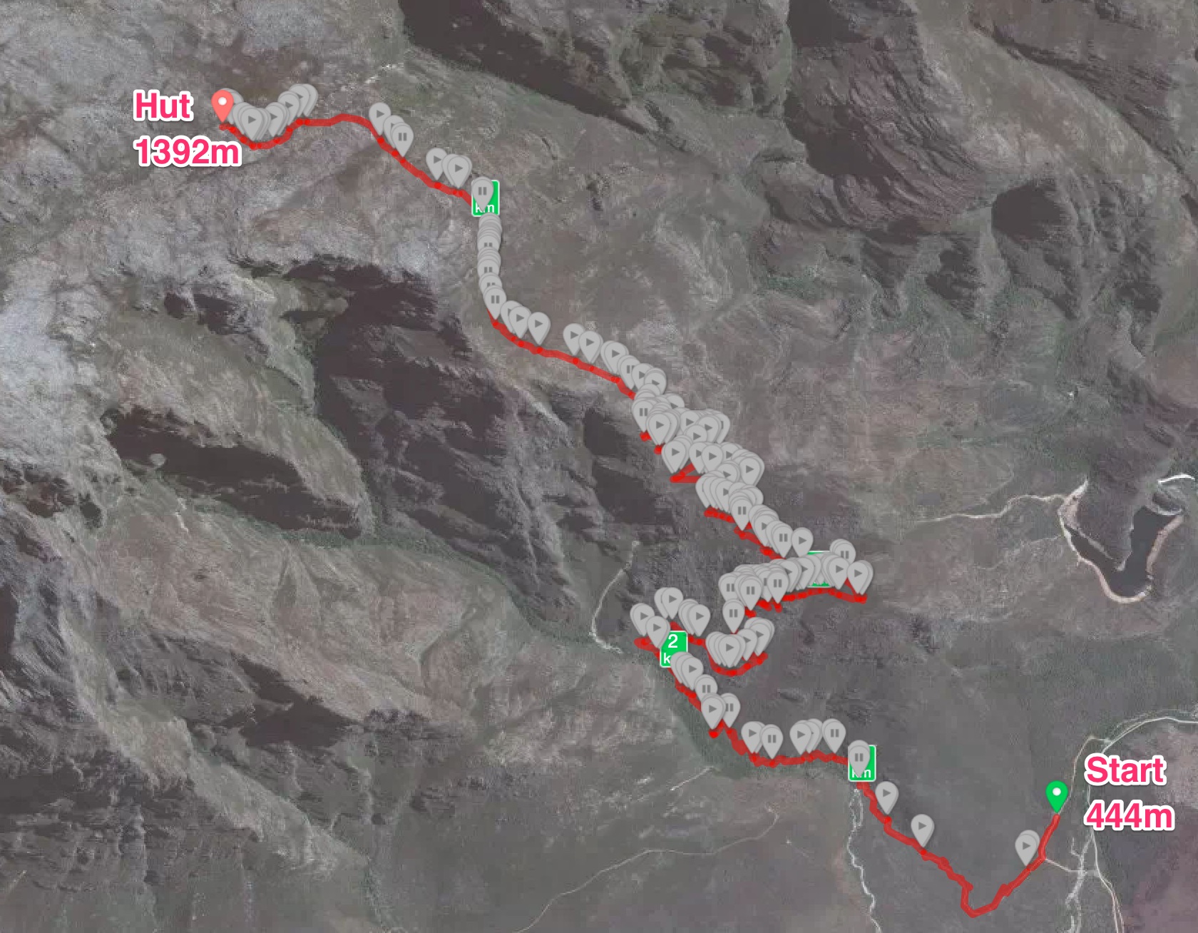
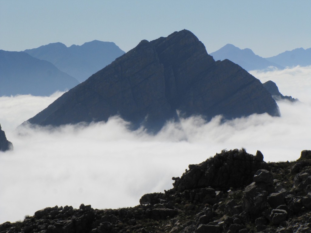
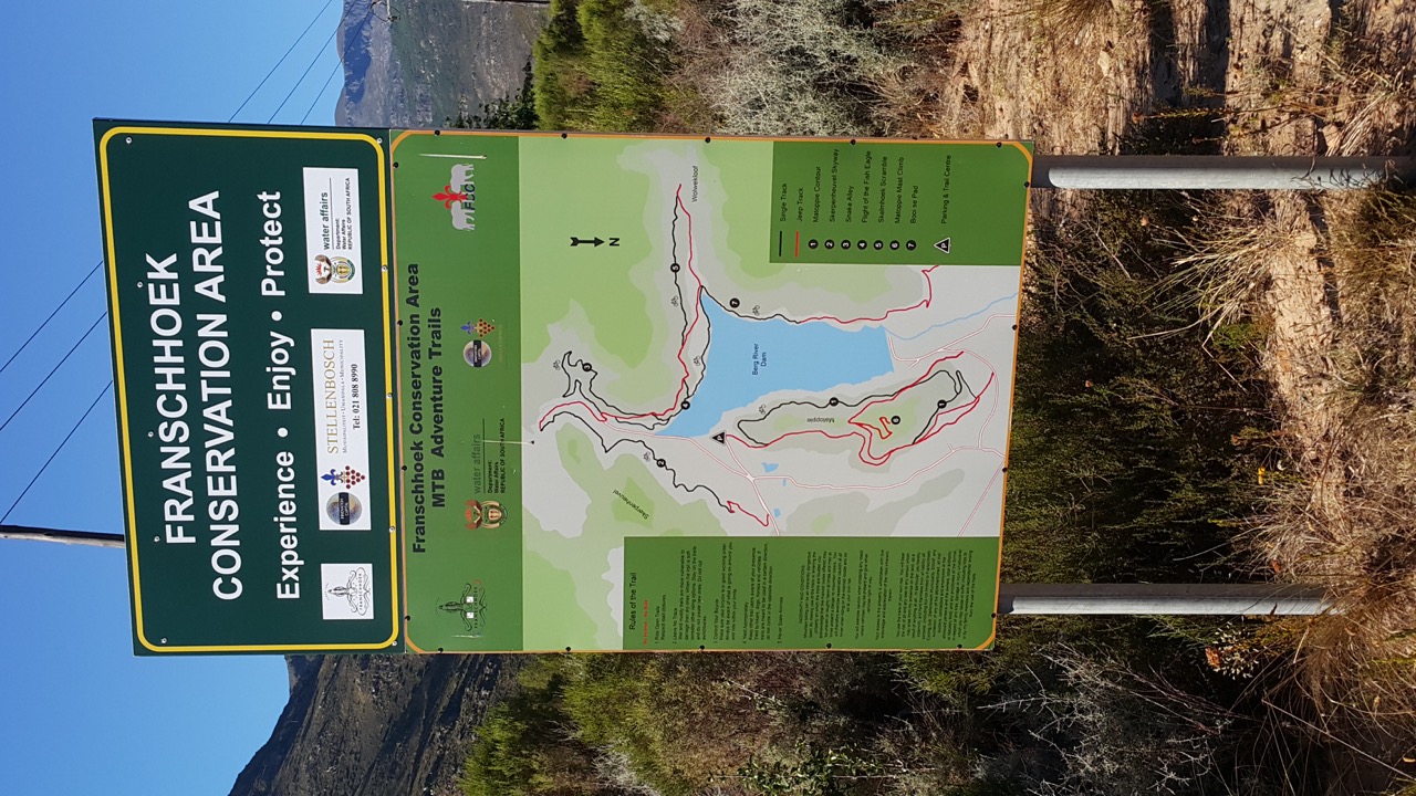
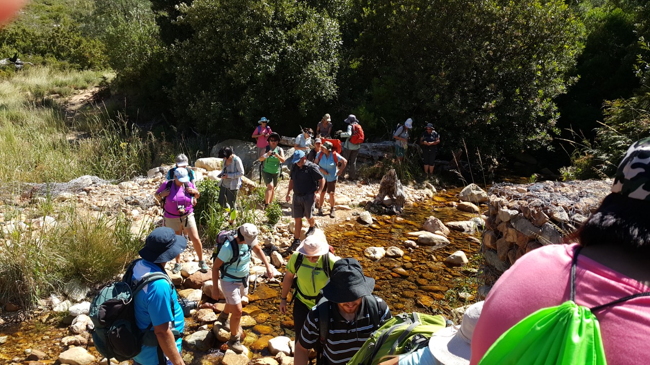
 On Saturday, 14 January 2017, a group of 23 hikers from Stellenberg Stappers and also Mountain Club of South Afrika (Paarl/Wellington Section) took a hike in the mountain around the Bergriver Dam near Franschoek.  The hike is somewhere around 16.5km in length and not very strenuous at all.  See the map below for what the hike looks like.
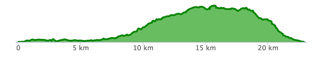
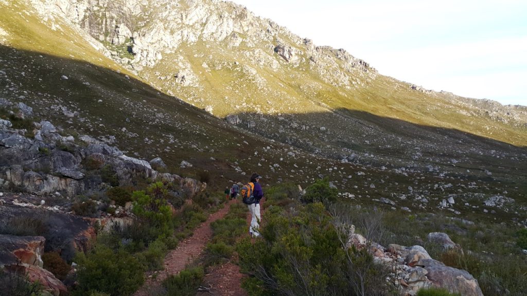
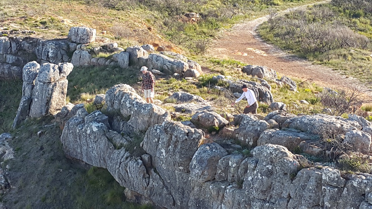
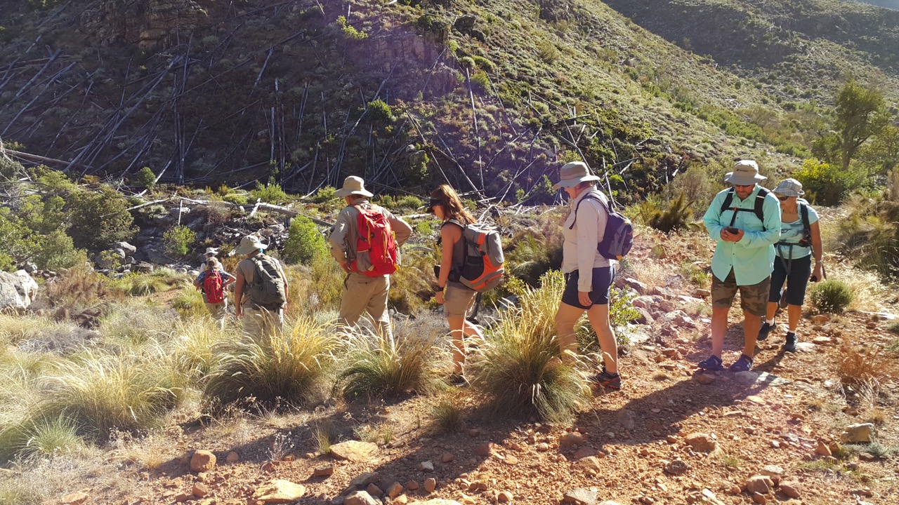
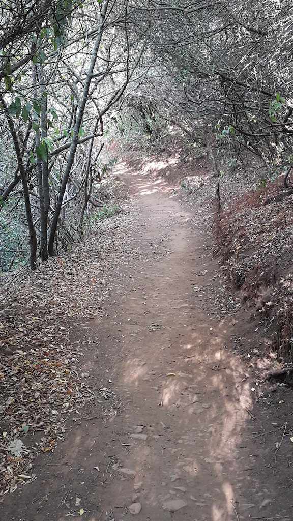
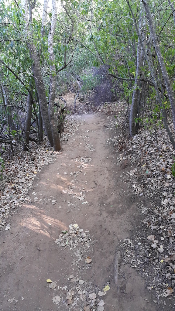
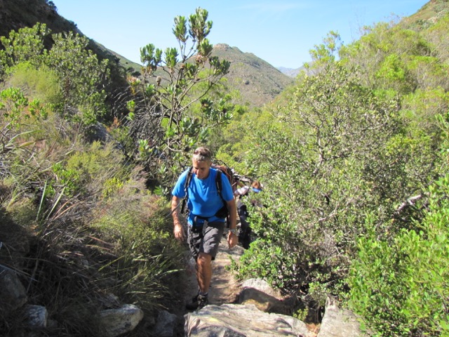
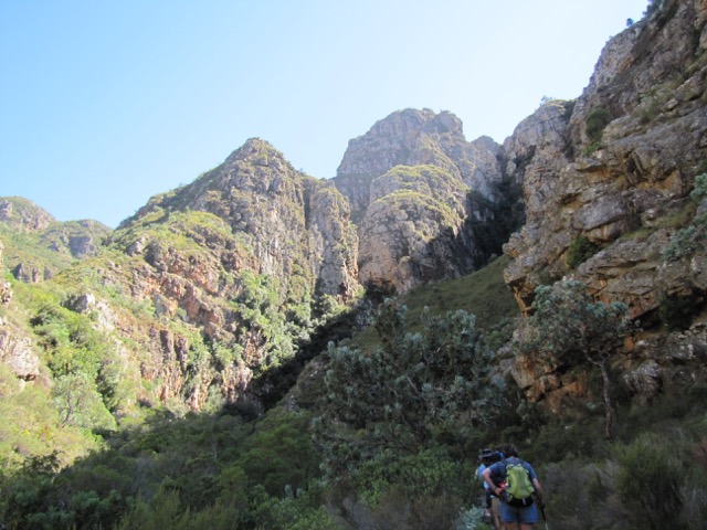
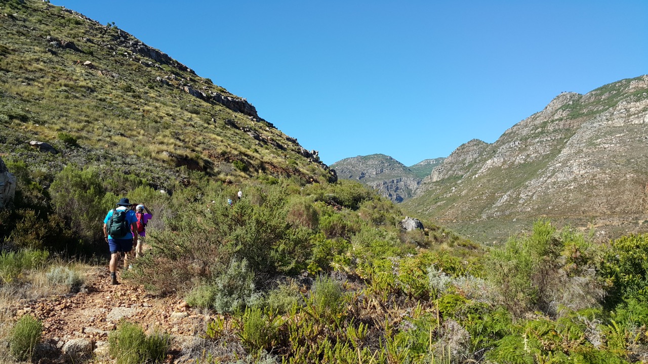
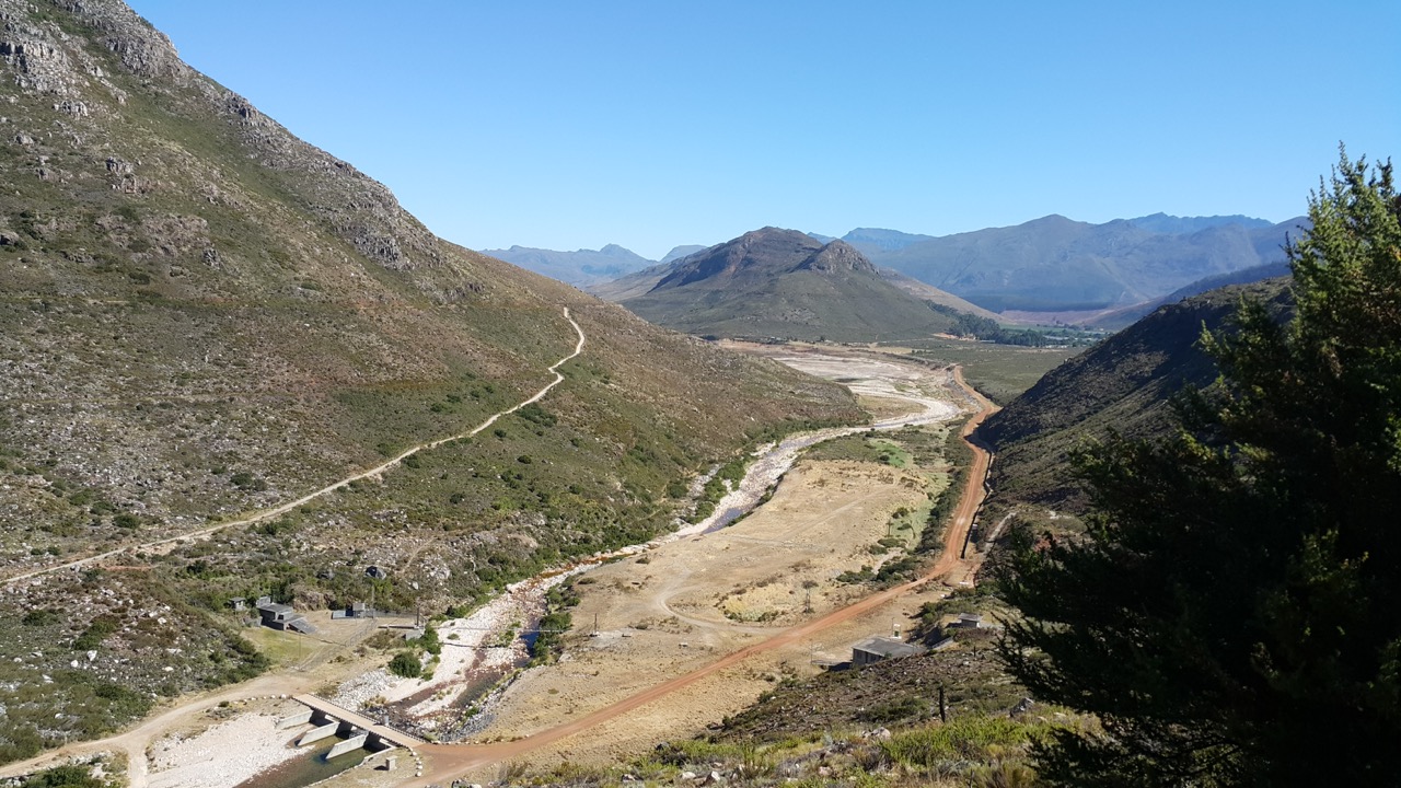
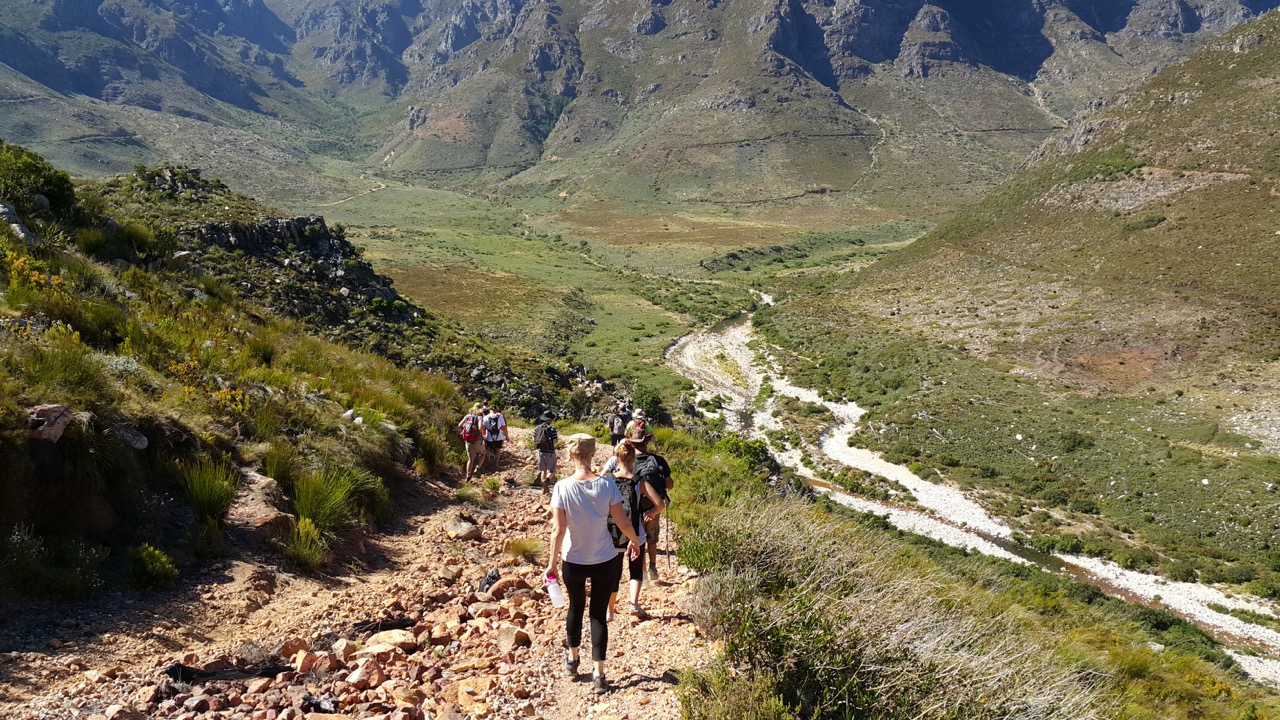
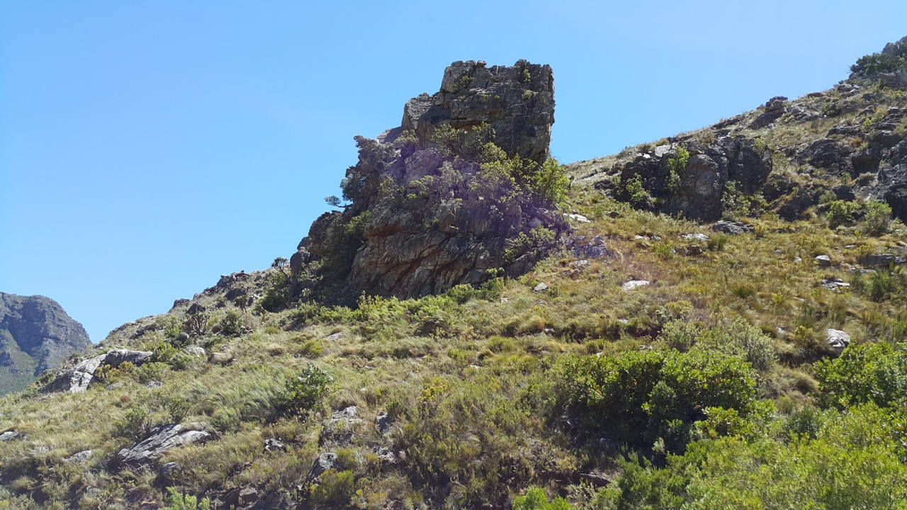
The first section from the entry gate is along the dirt road and then one turns left to make a steady climb up the mountain to reach the highest point of the hike. Â From there the remainder of the hike is basically level and downward back to the road that runs along the river back to the gate.
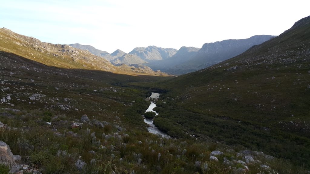
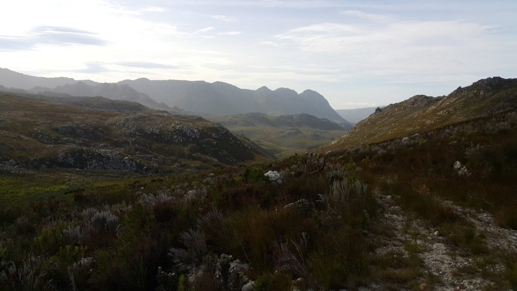
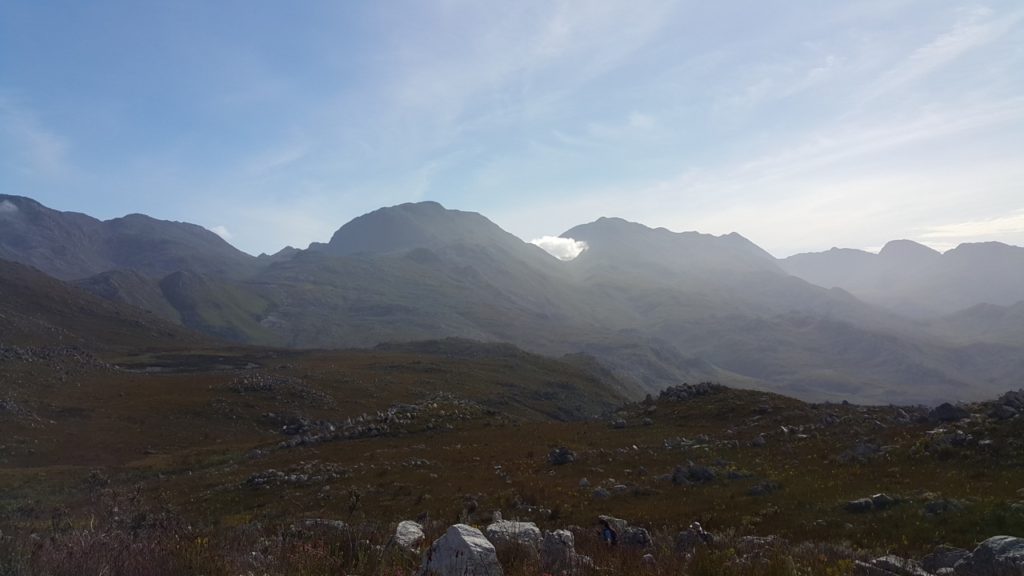
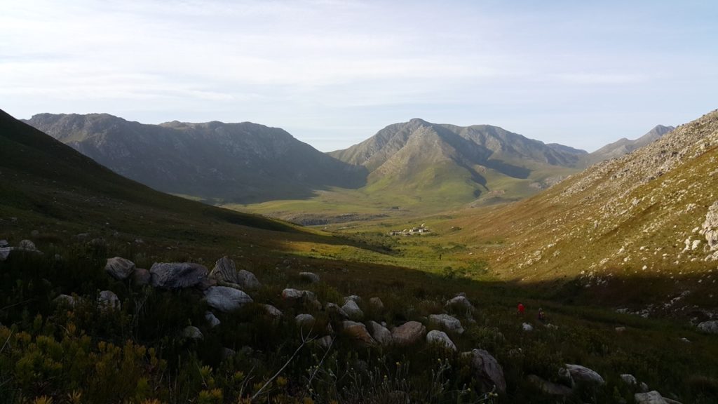
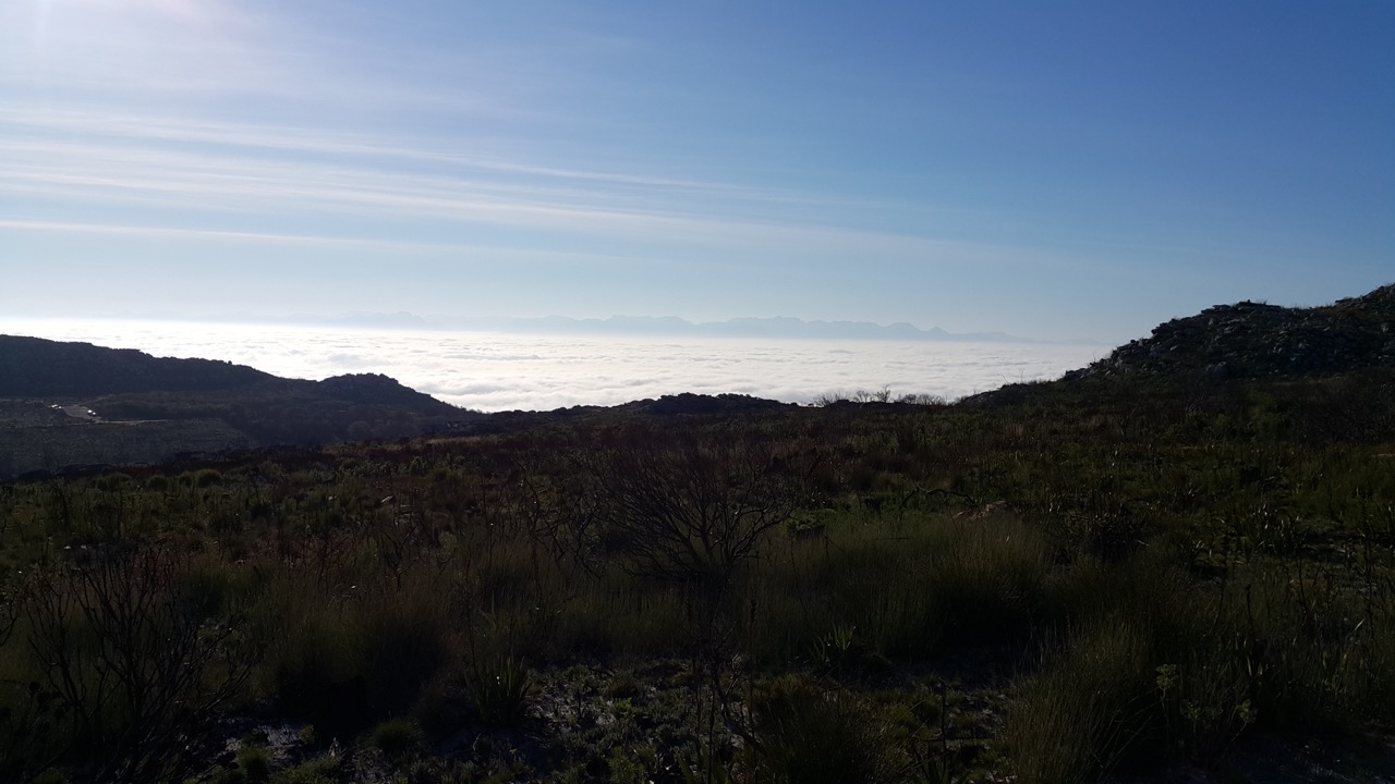
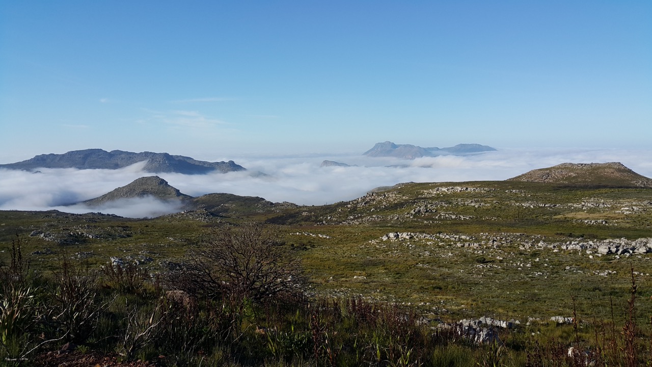
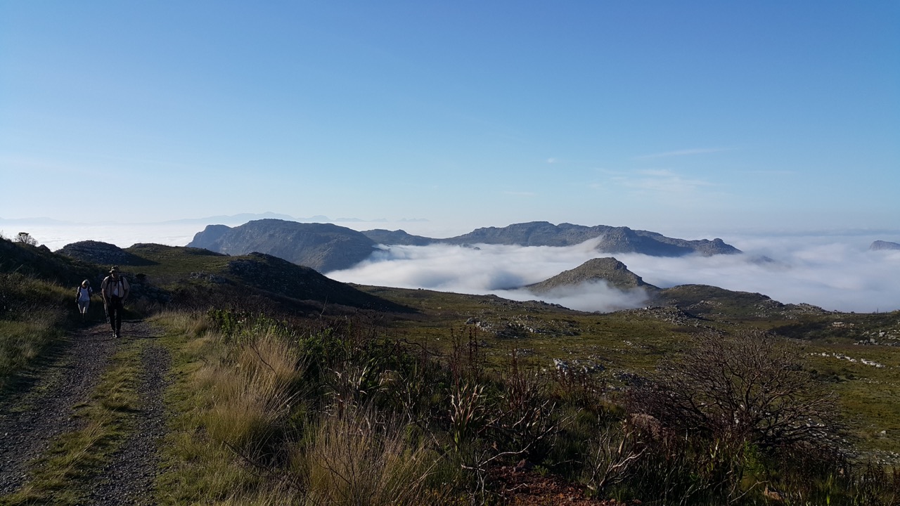
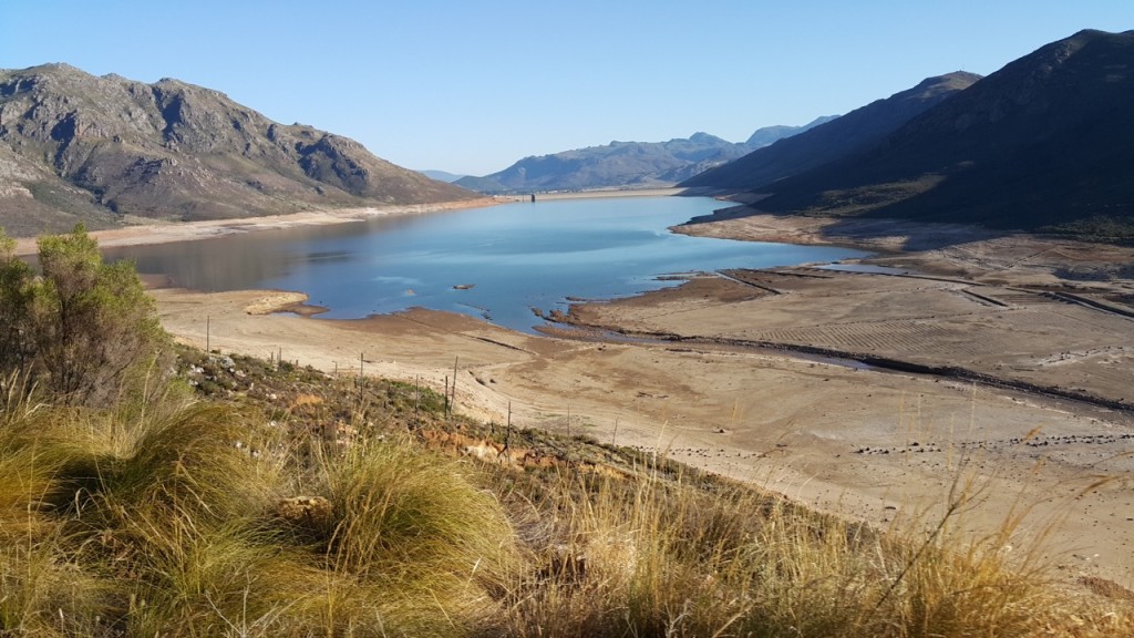
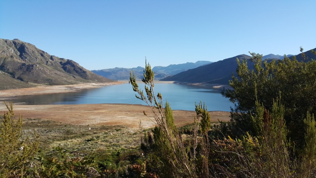
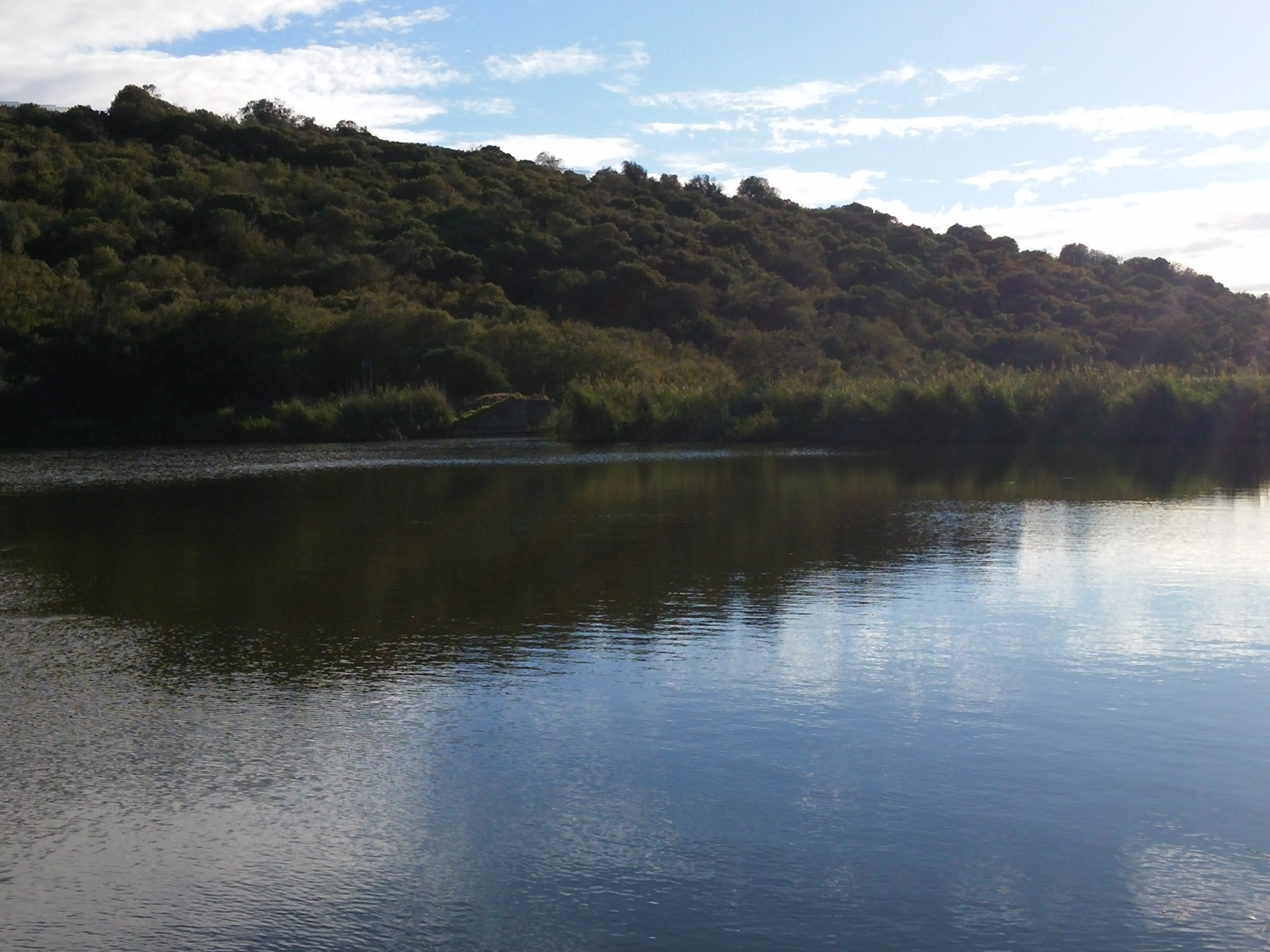
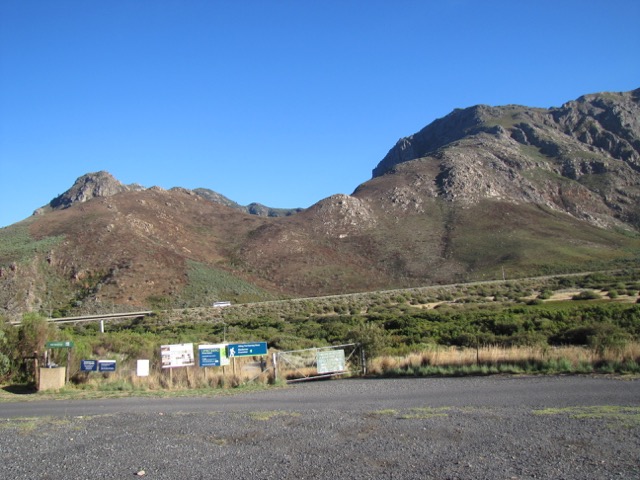
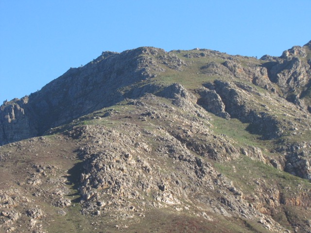
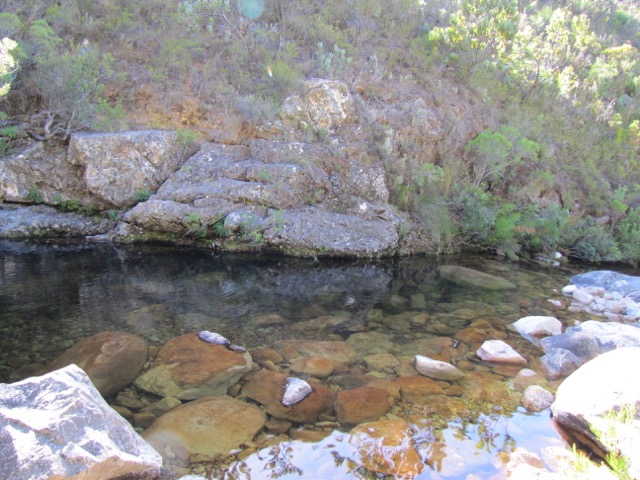
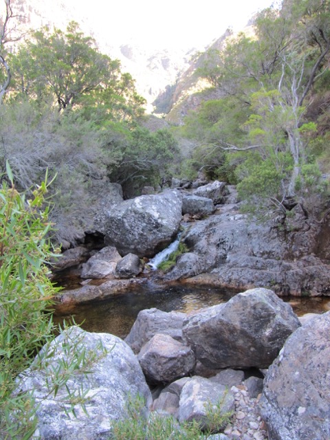
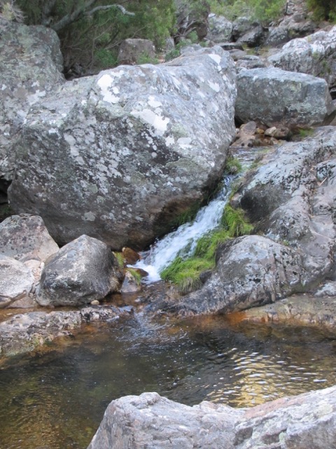
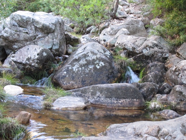
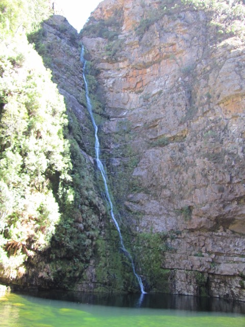
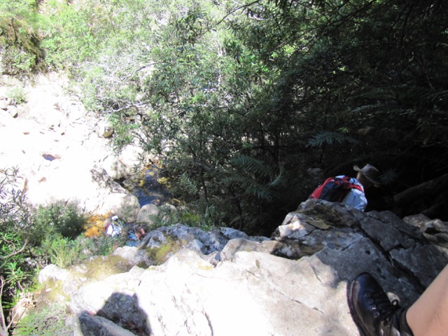
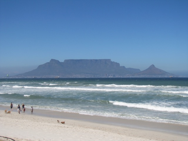
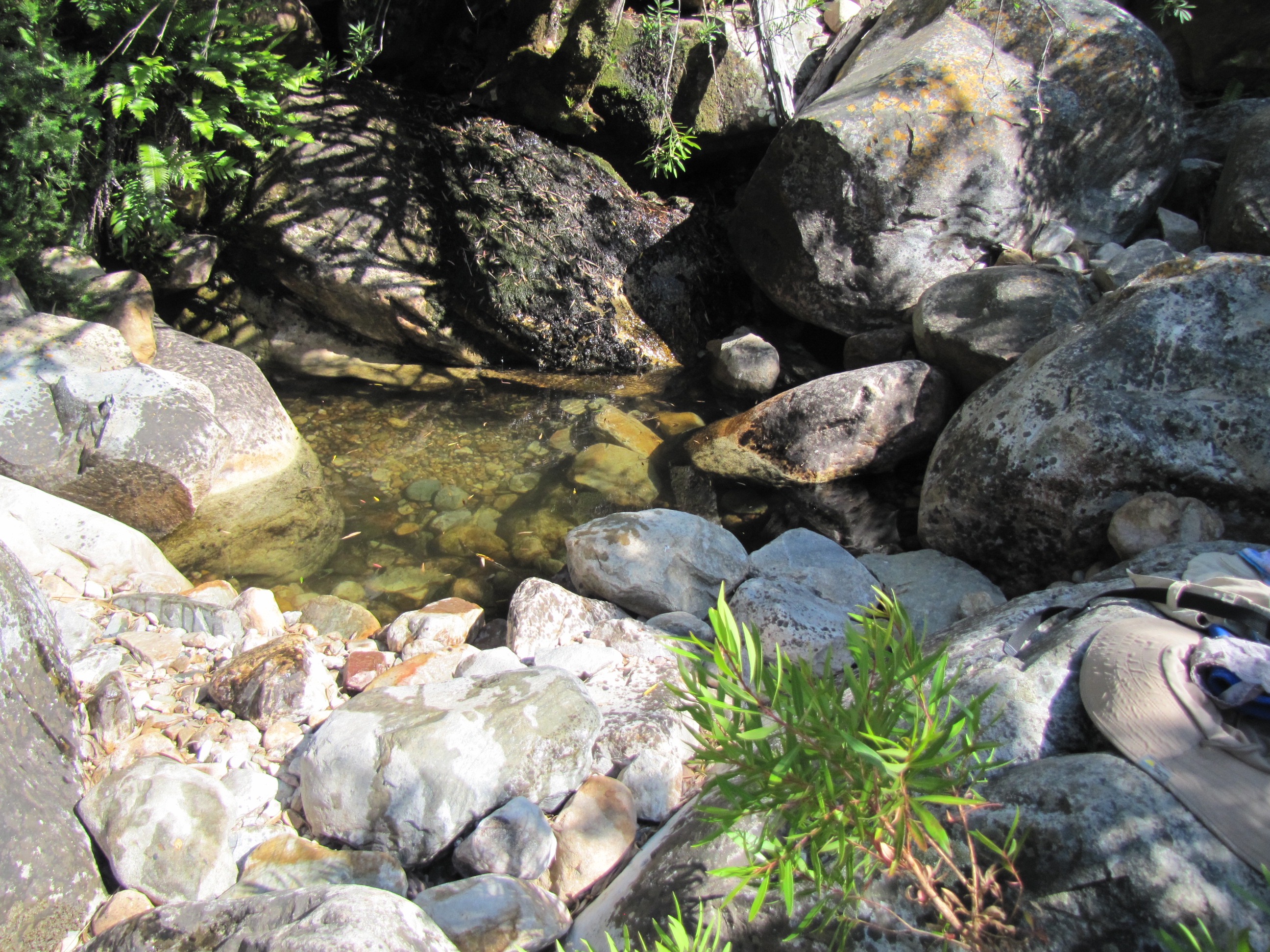
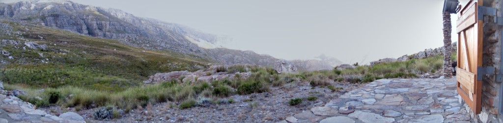
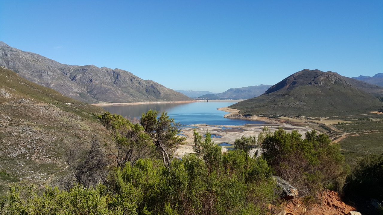
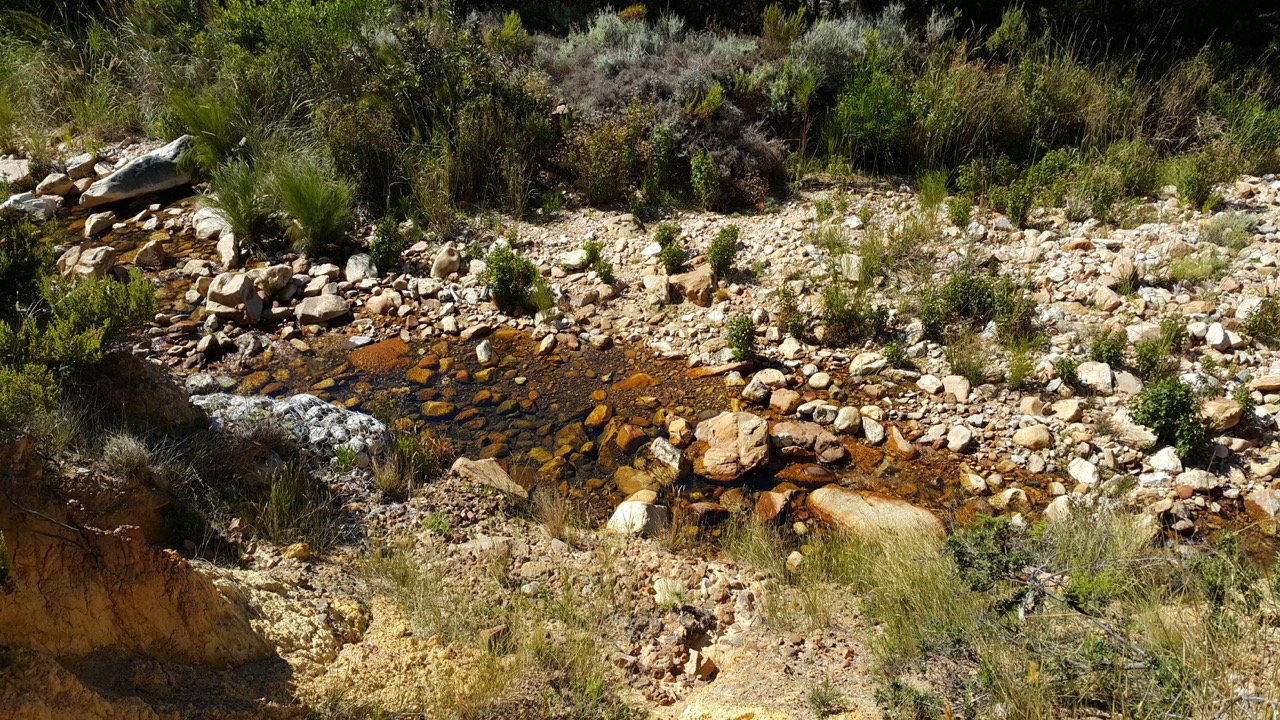
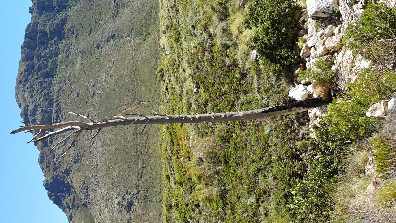
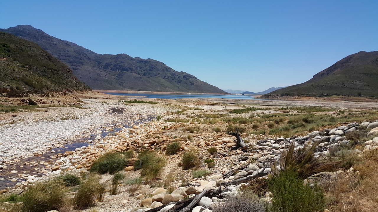
It was very hot, close to 30 degrees so take a lot of water and as can be seen from the photos below, there is no trees or any shade to hide under. Â Also the river is very low so no possibility to take a dip to cool of.
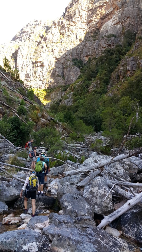
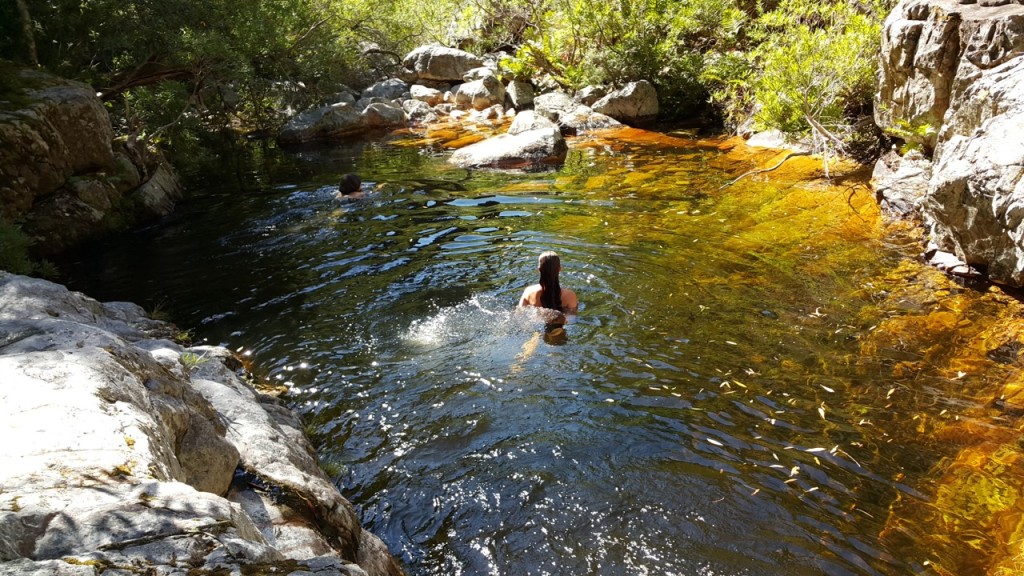
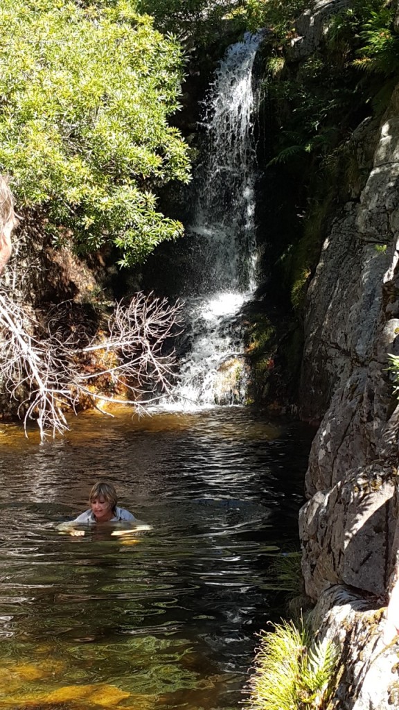
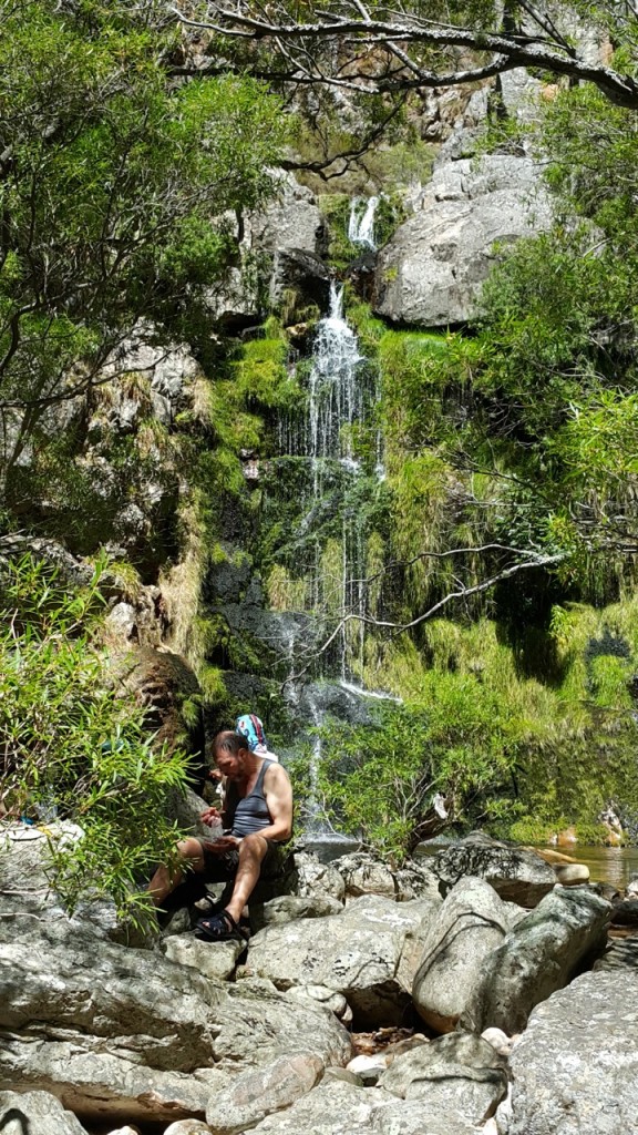
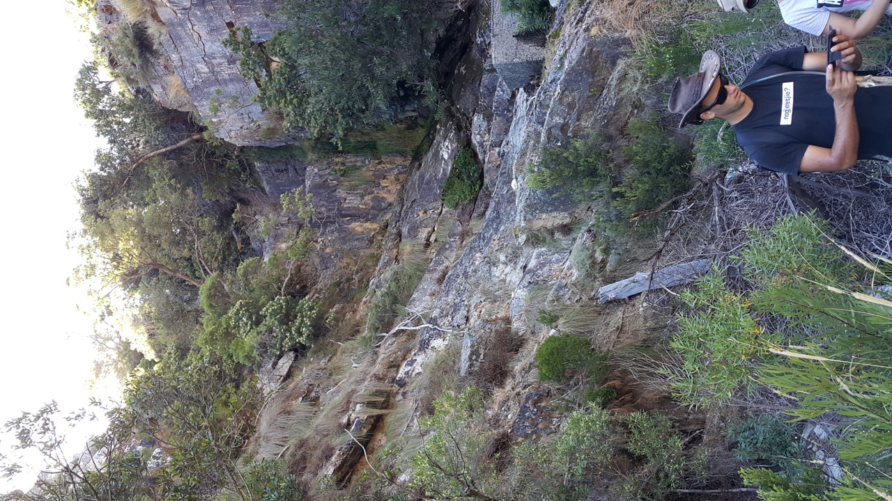
After about a hour of hiking we reached the first crossing of the river and spend some time next to the river having tea and some snacks.
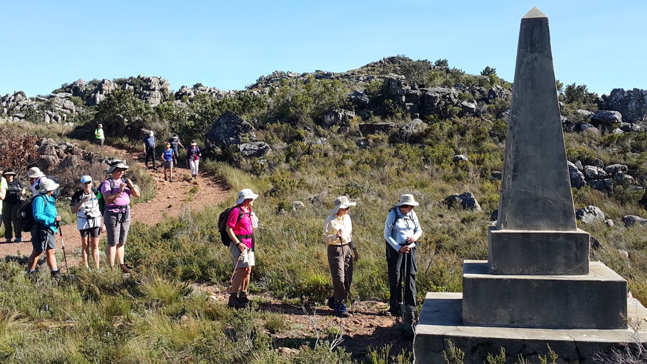
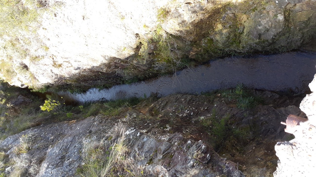
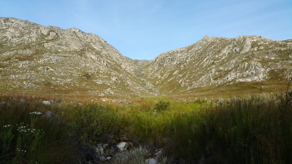
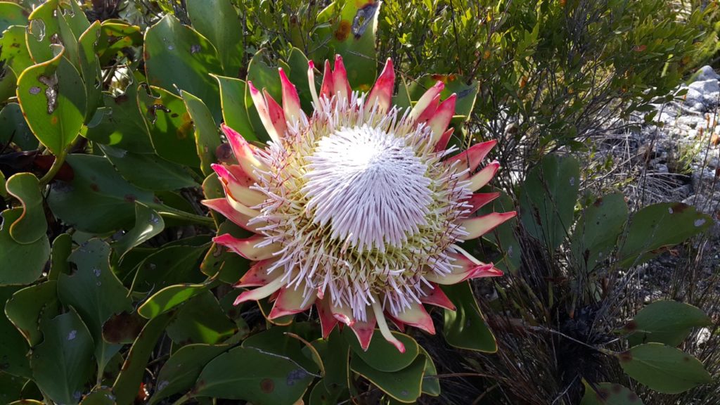
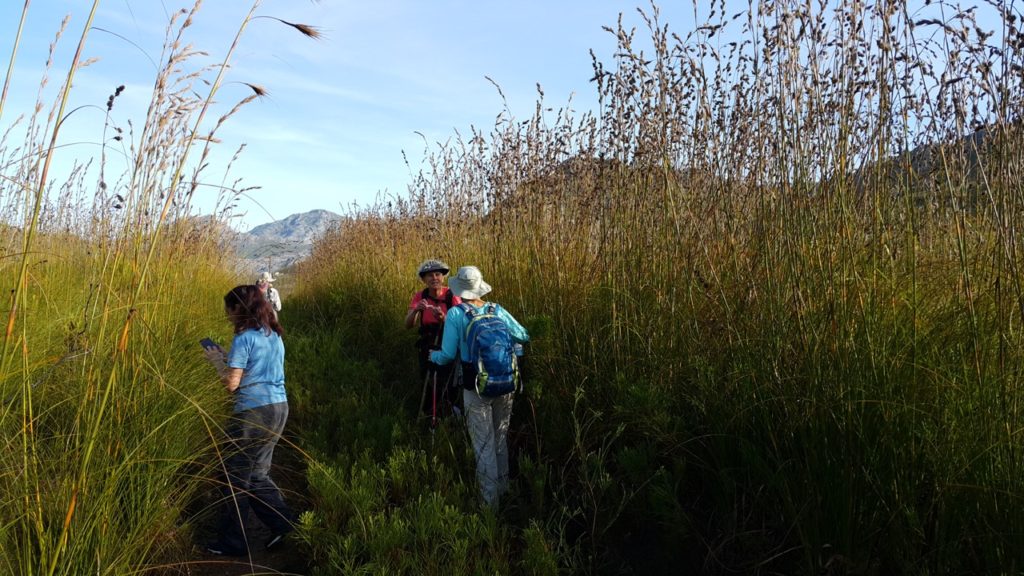
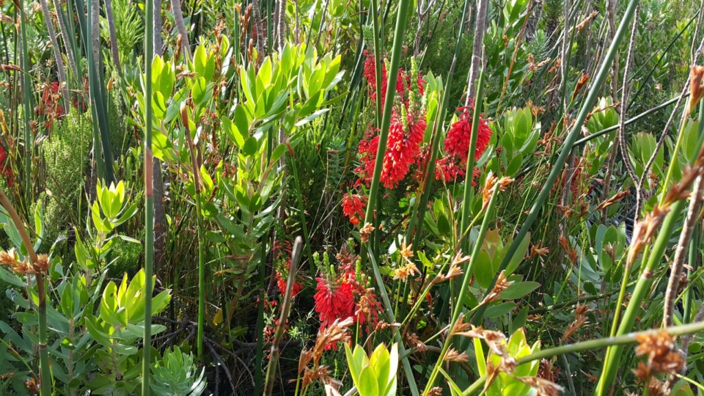
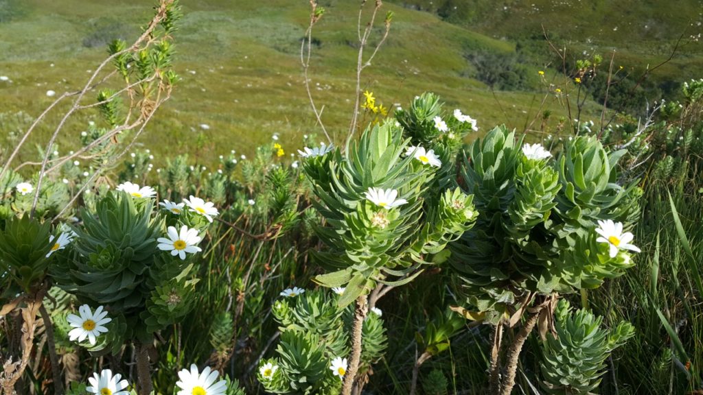
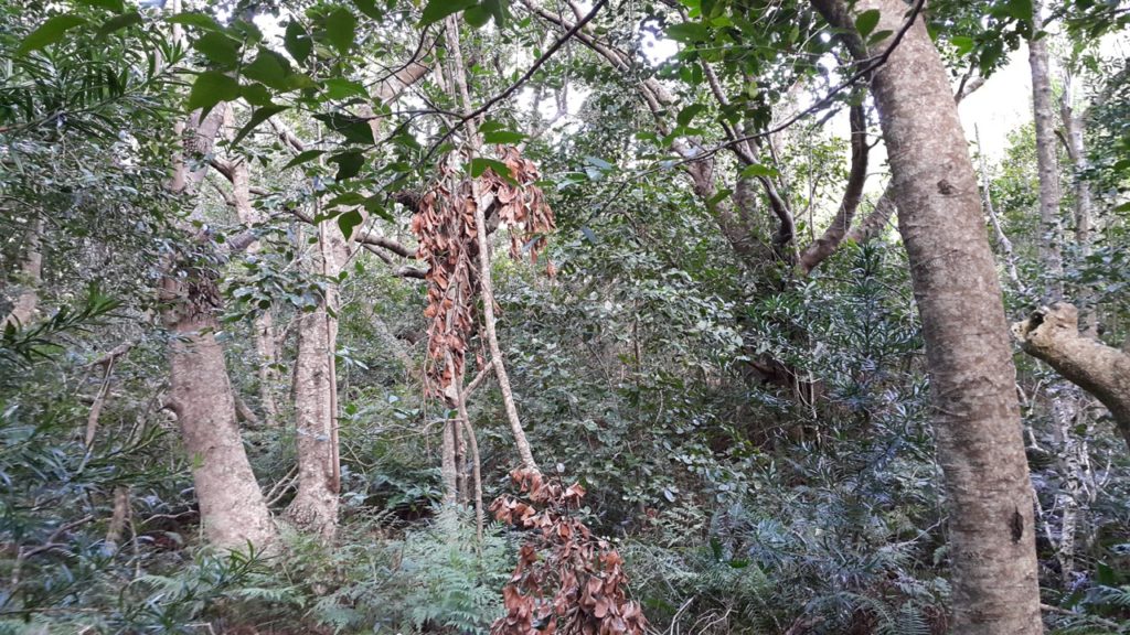
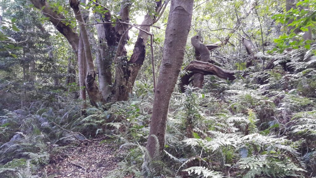
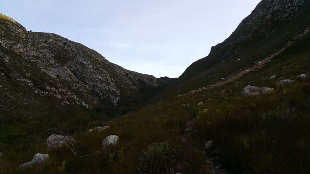
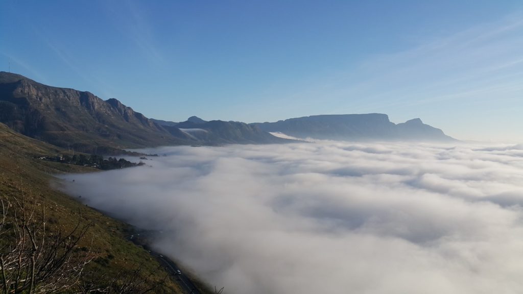
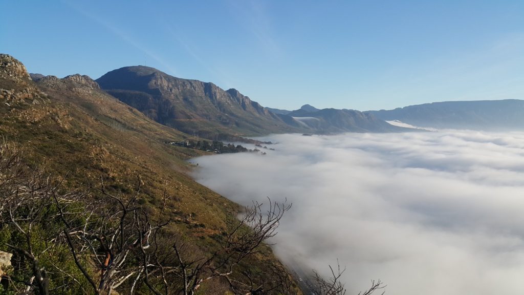
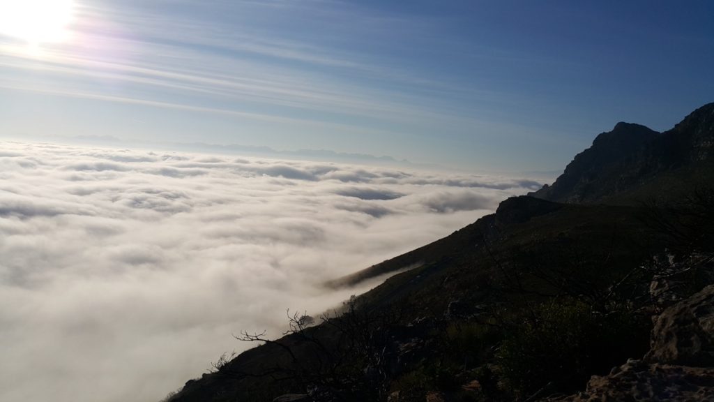
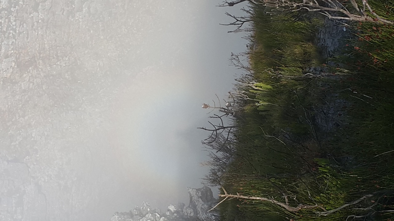
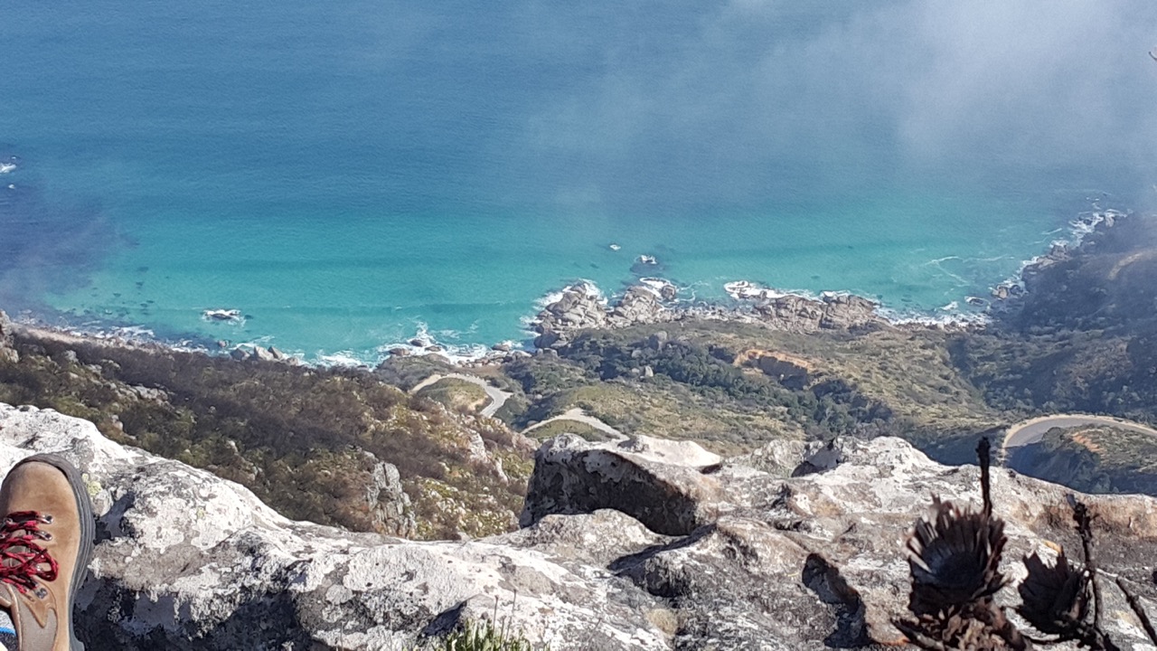
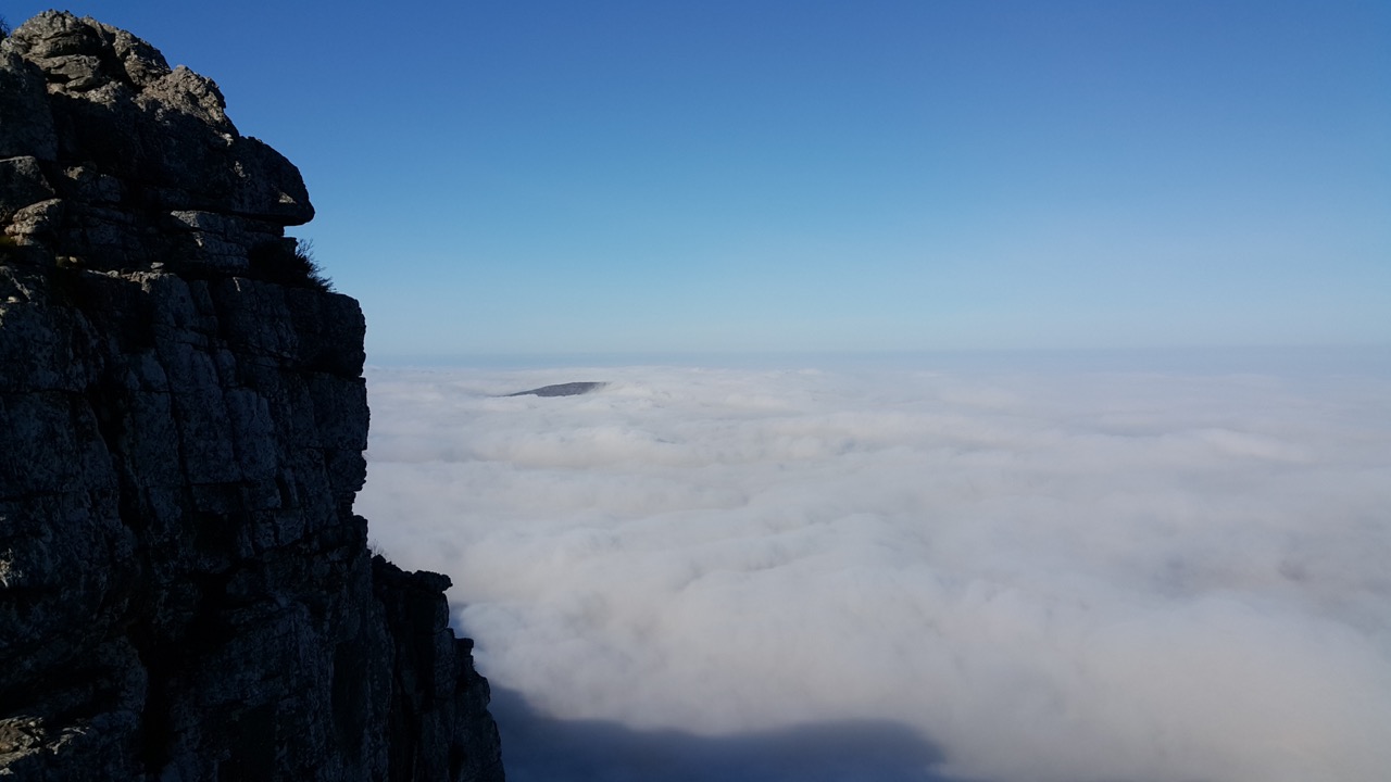
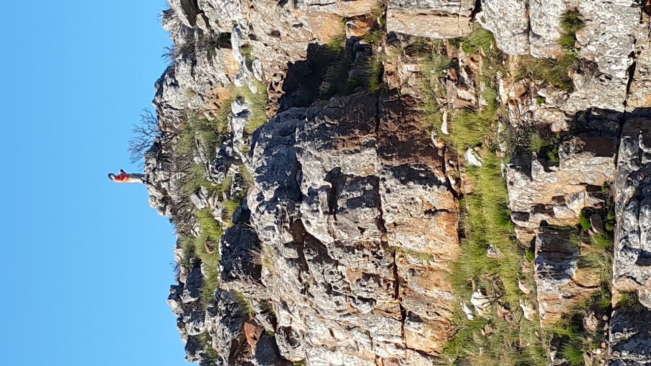
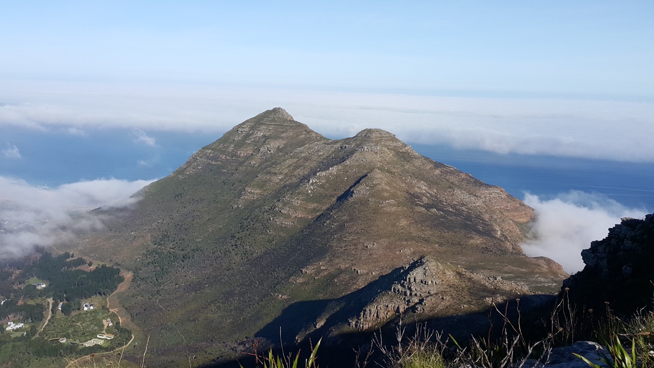
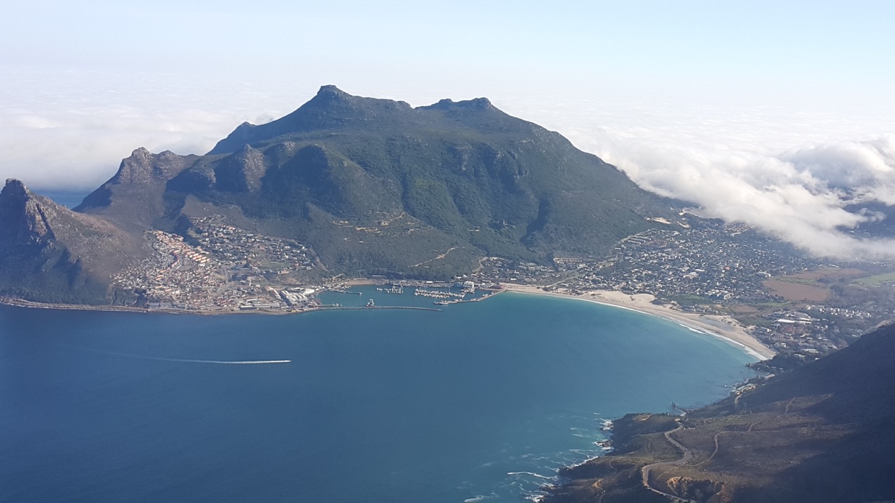
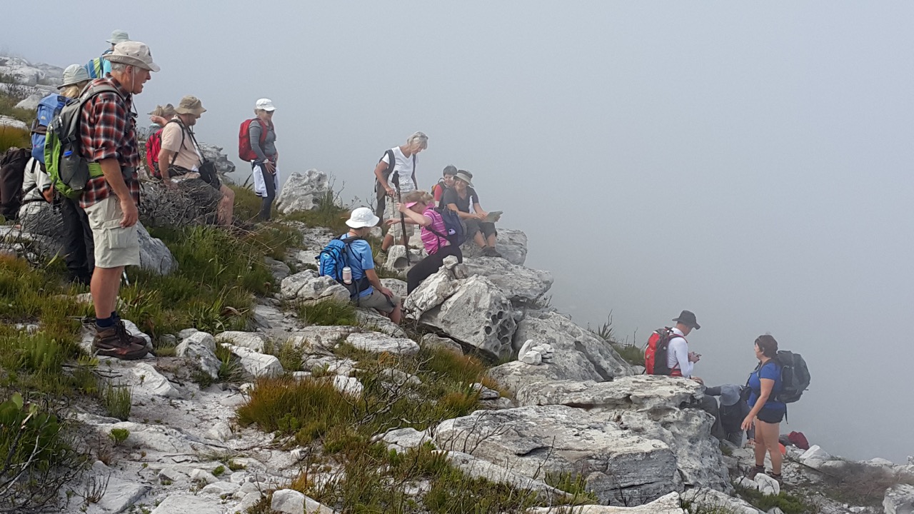
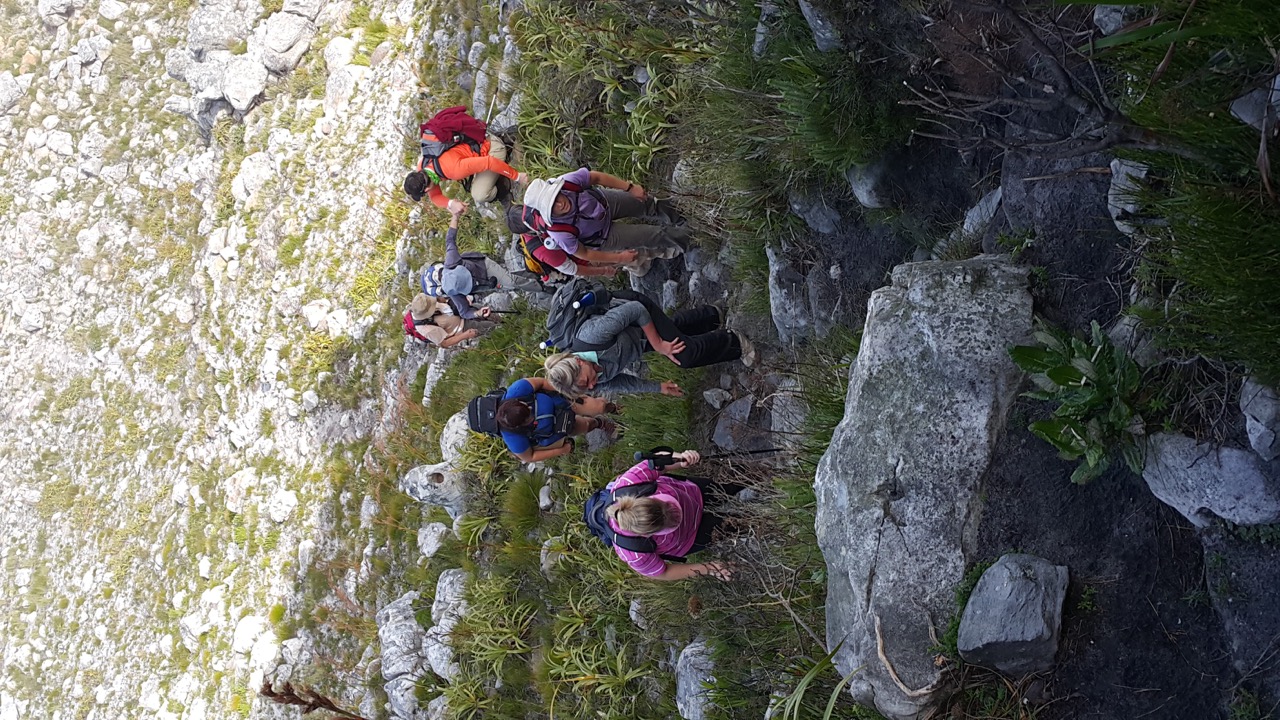
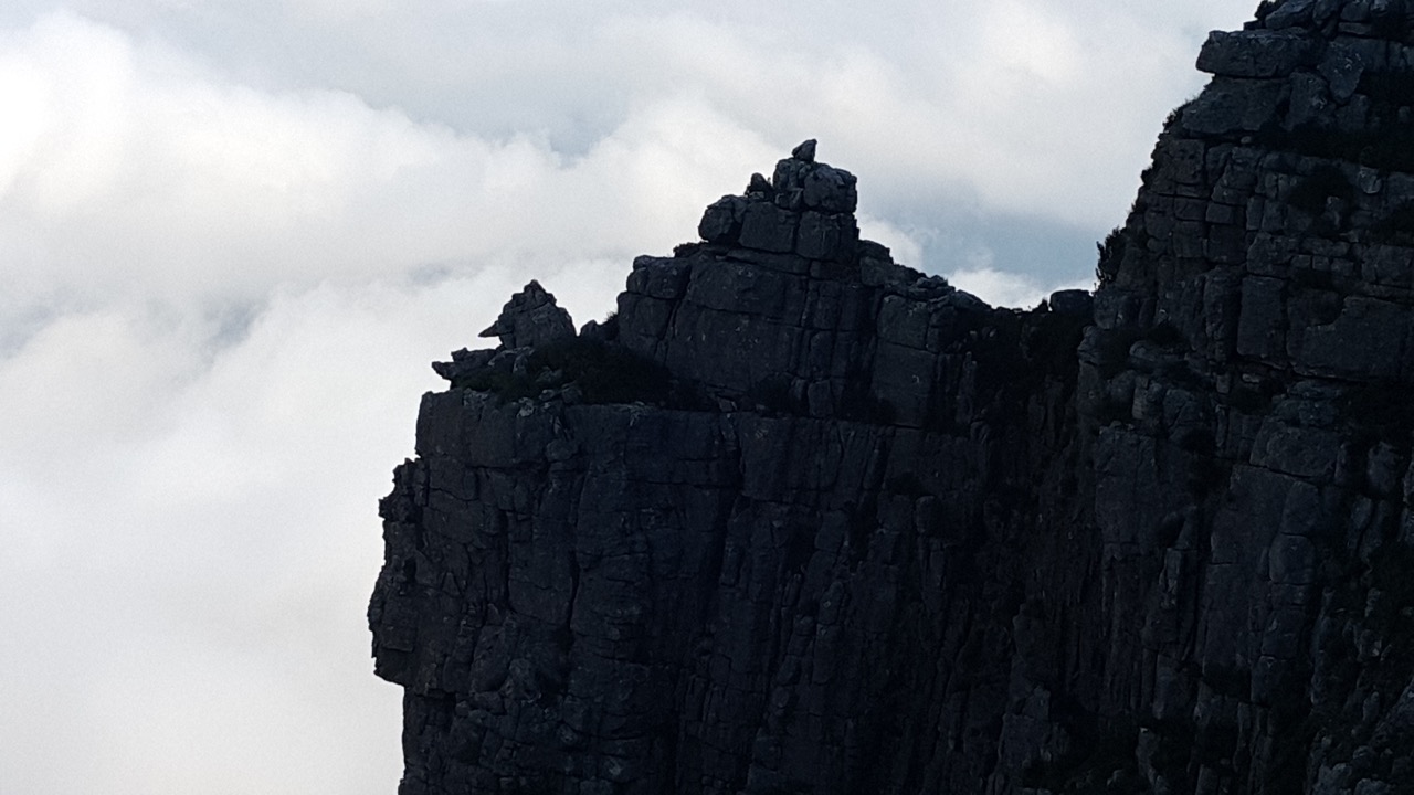
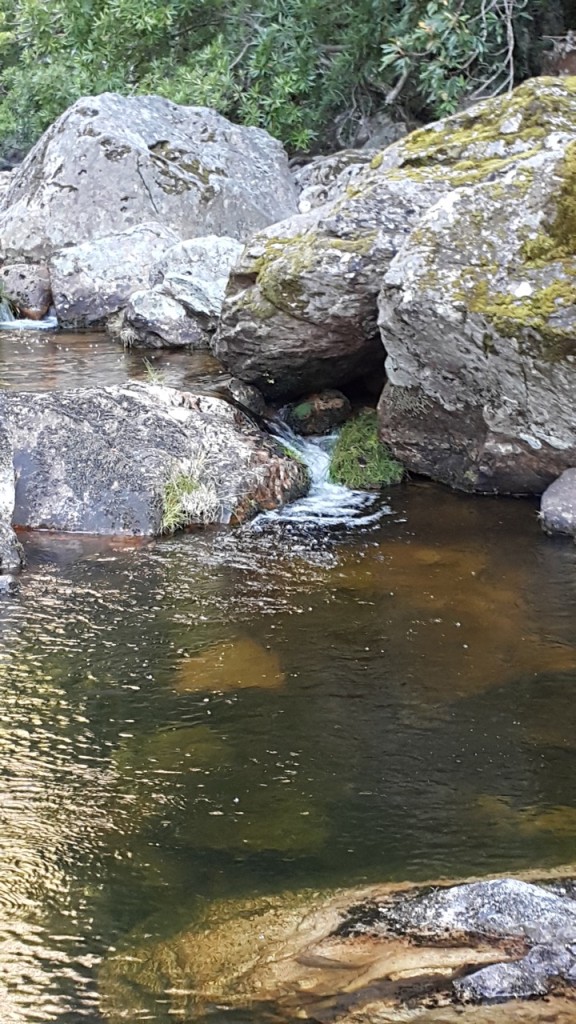
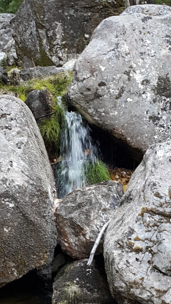
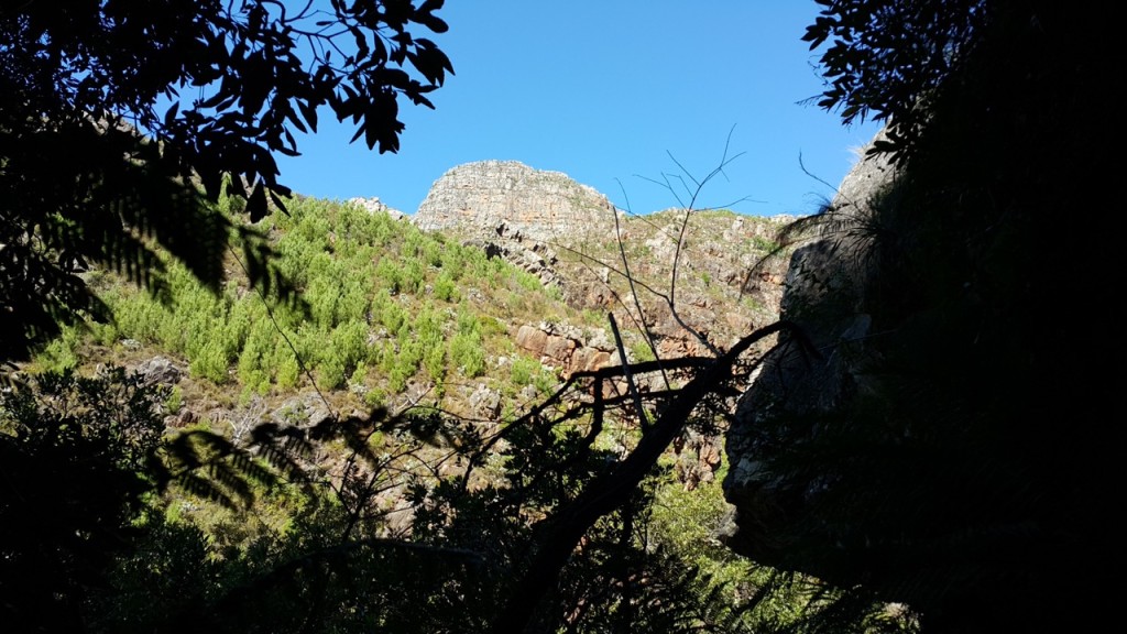
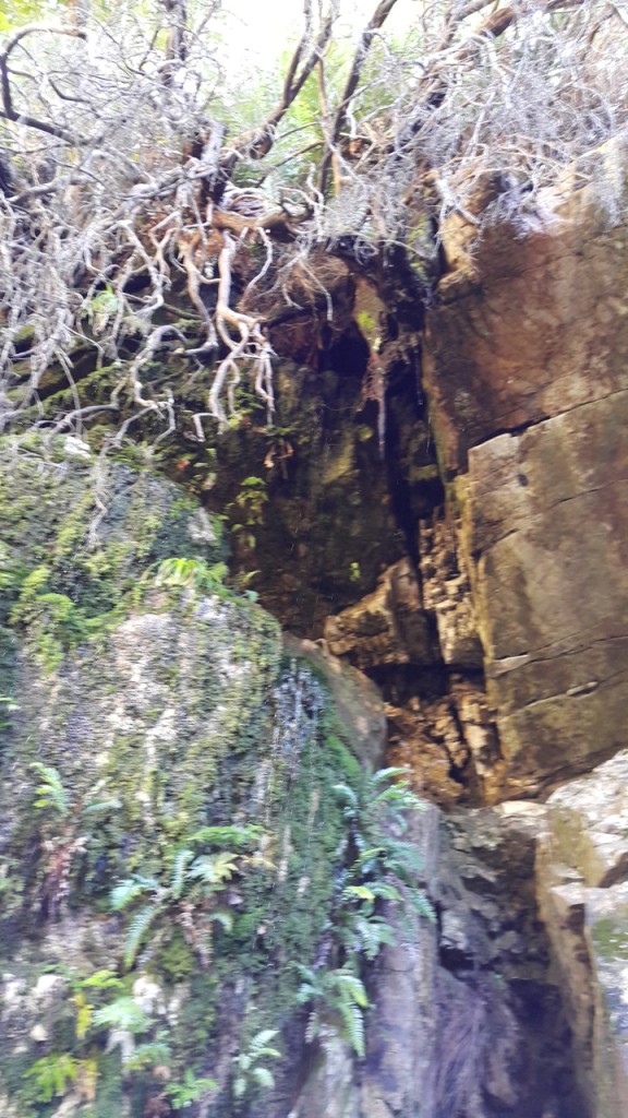
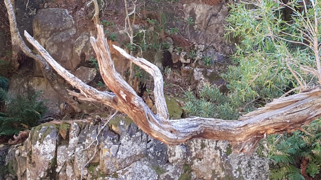
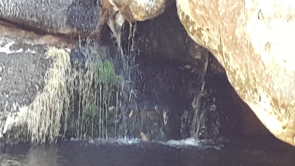
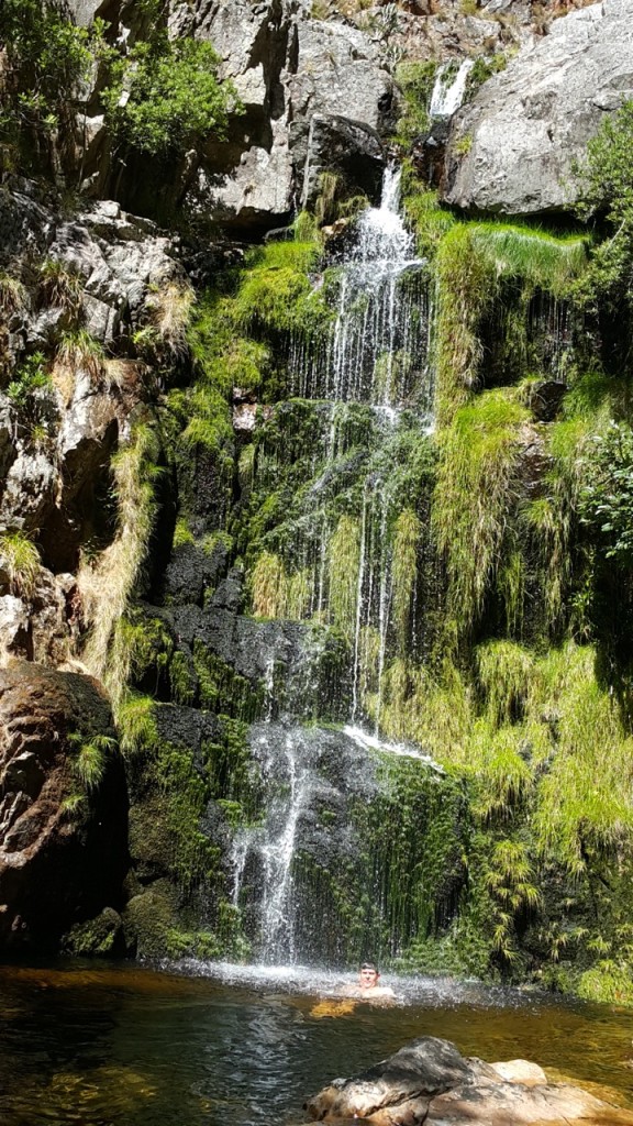
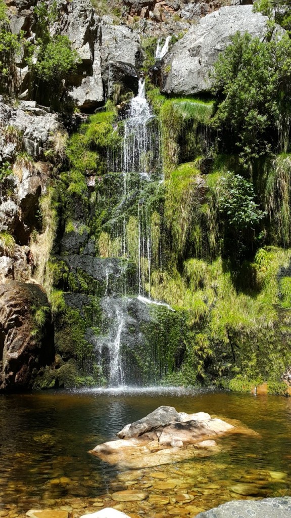
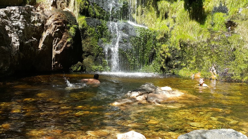
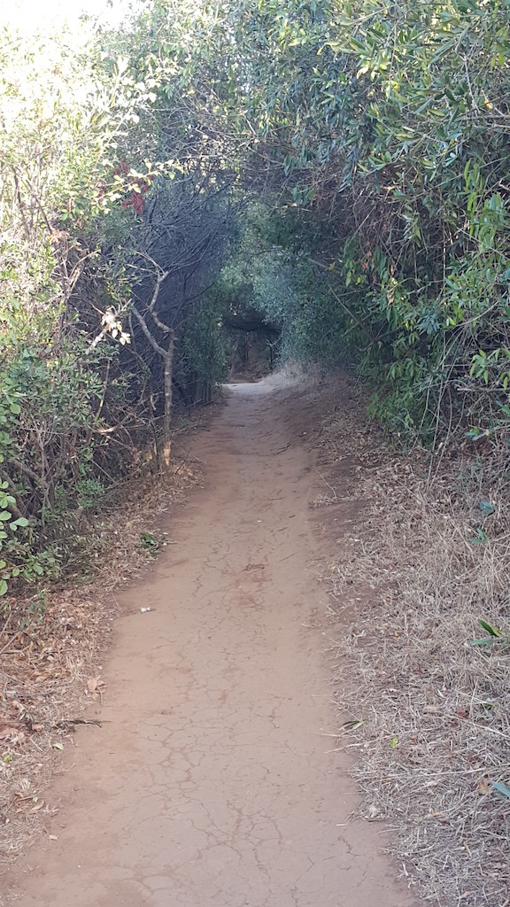
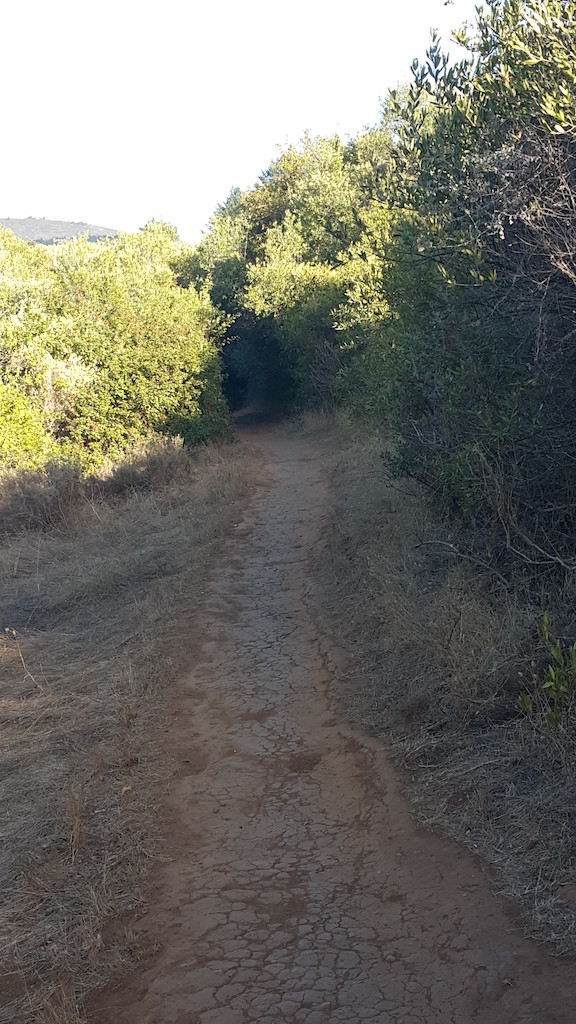
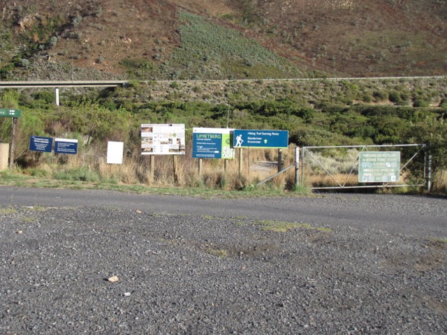
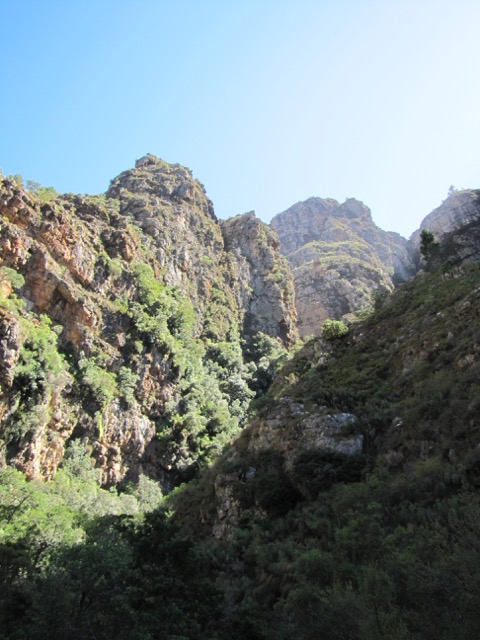
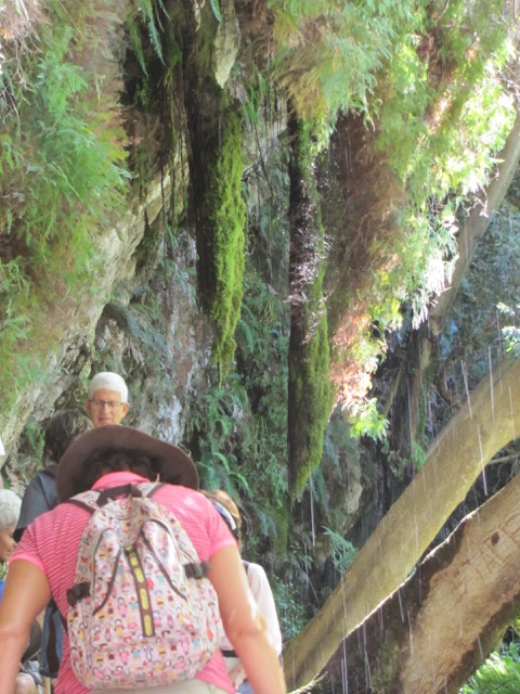
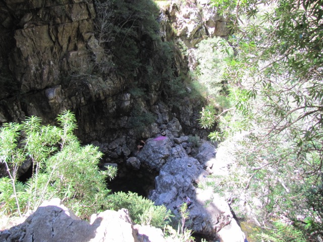
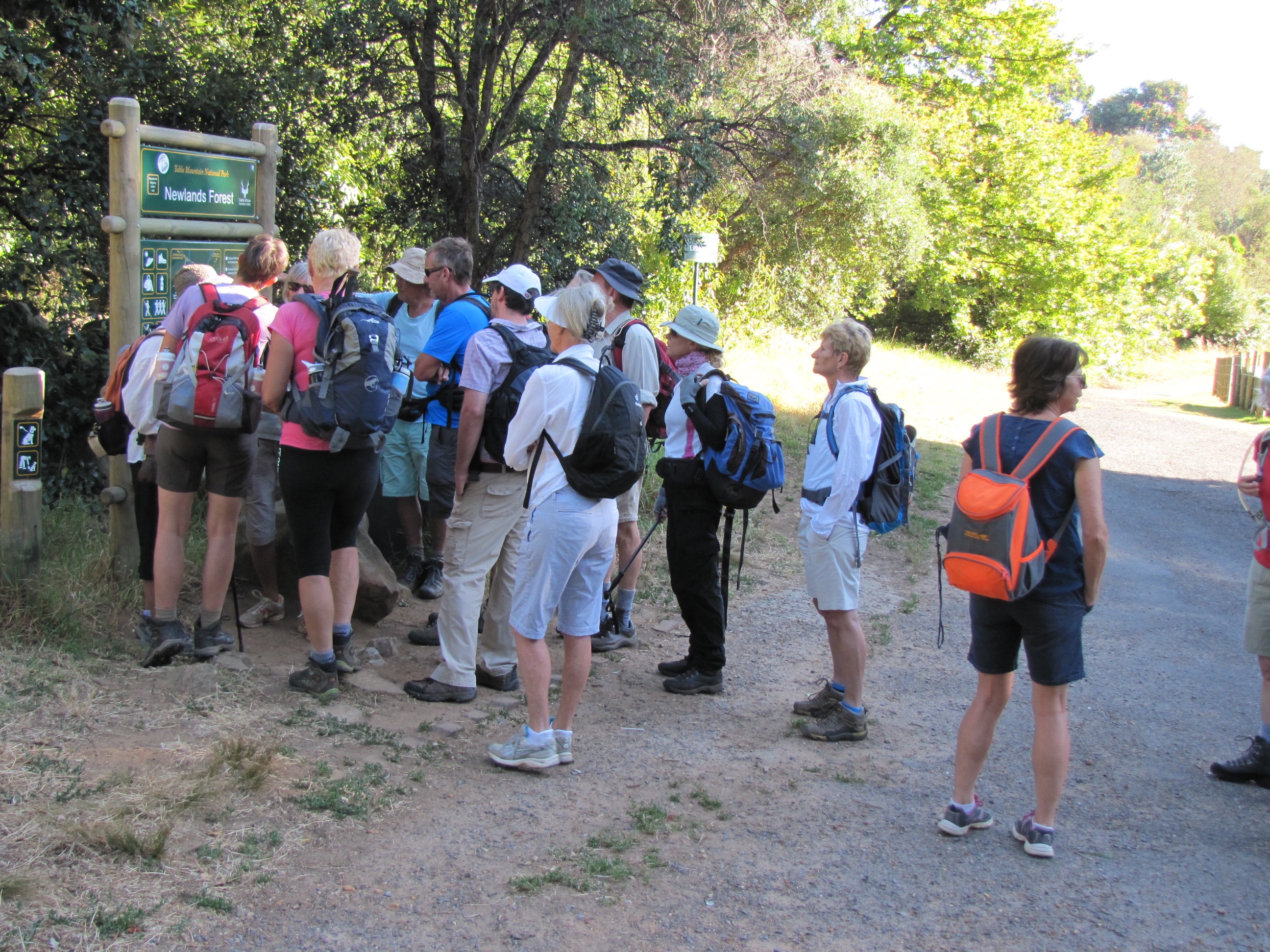
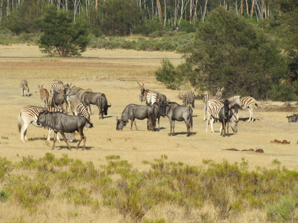
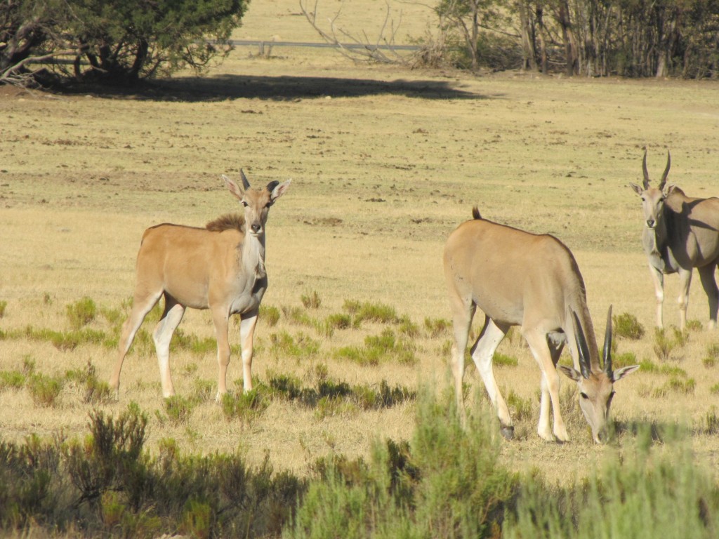
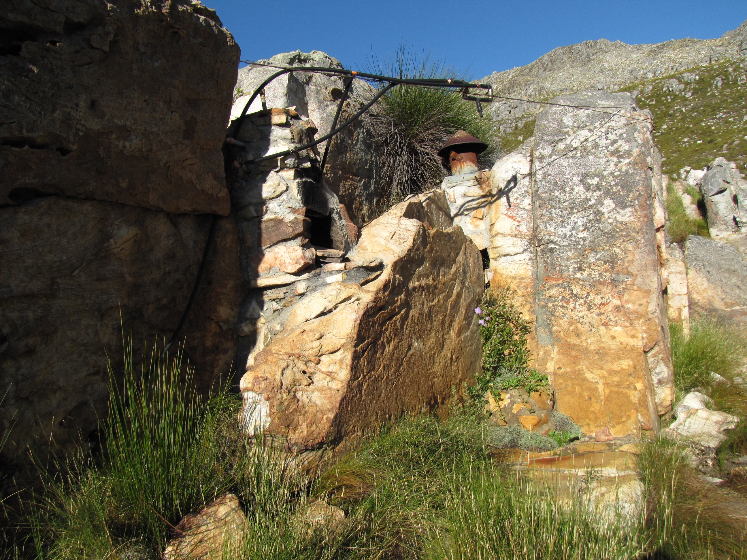
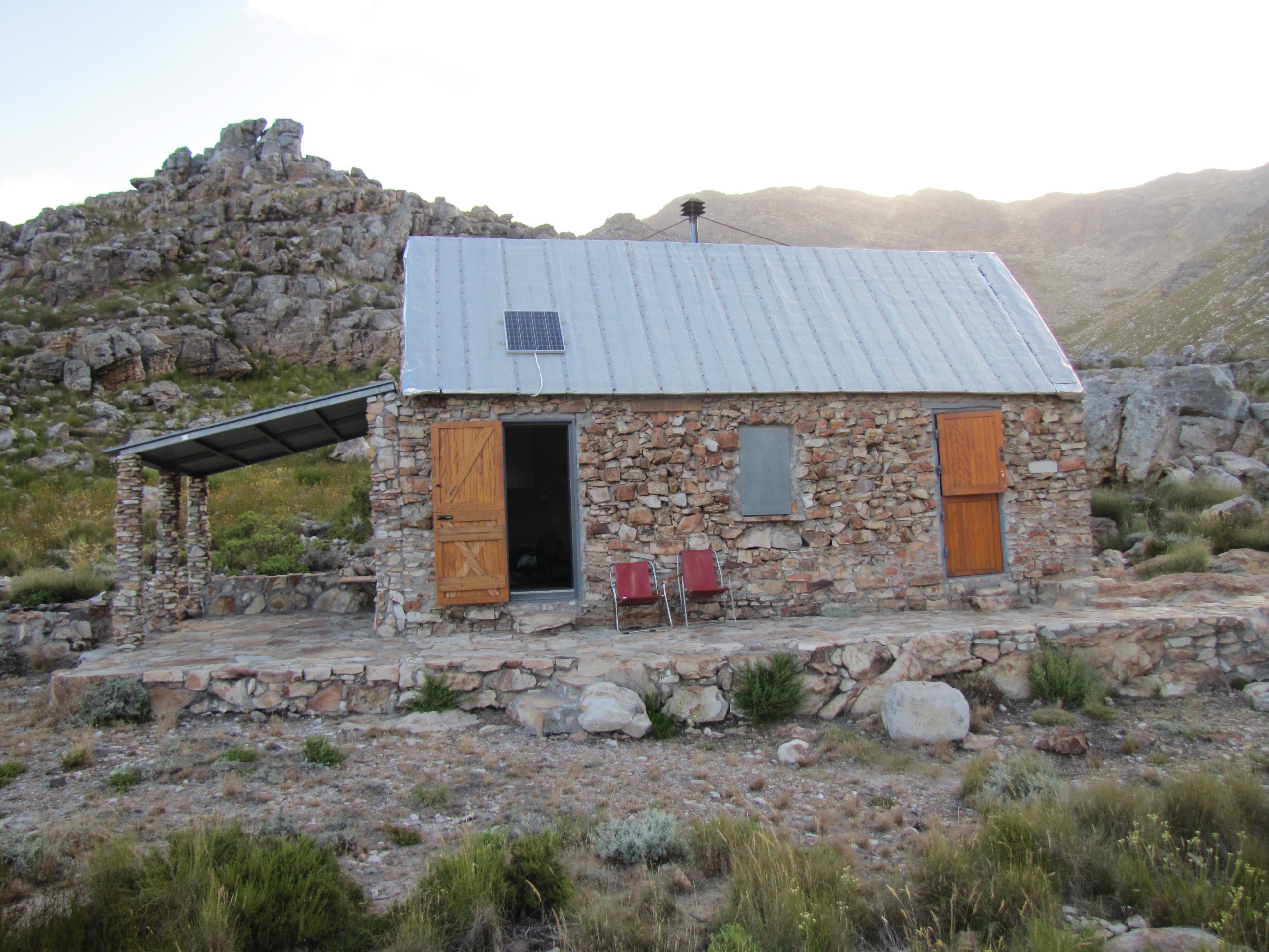
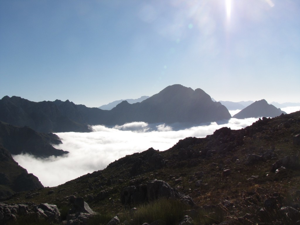
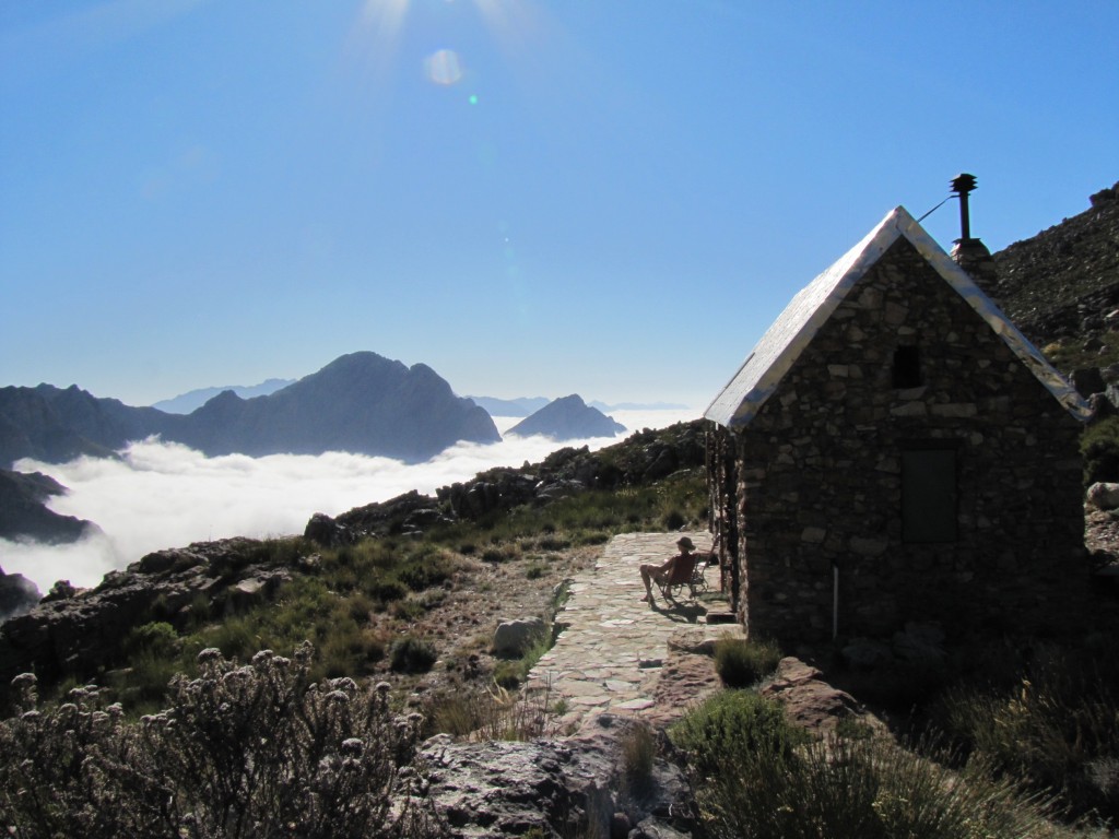
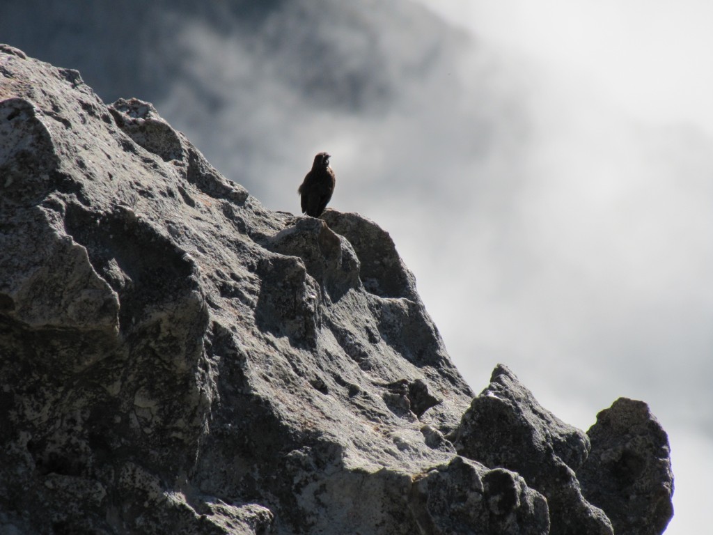
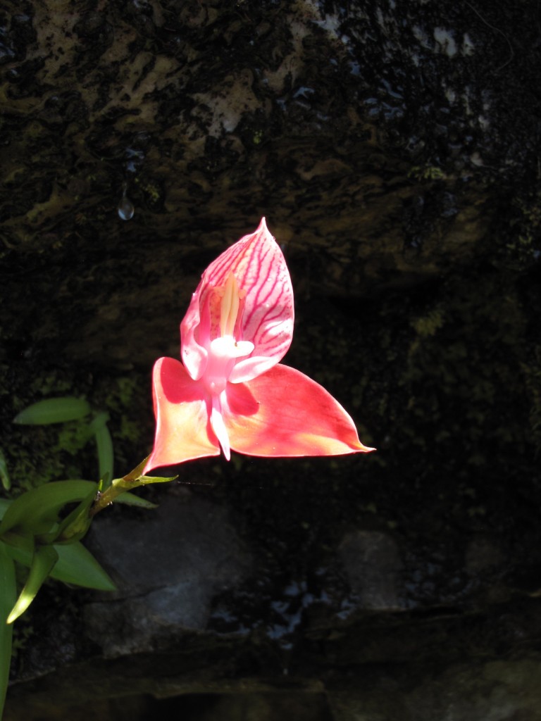
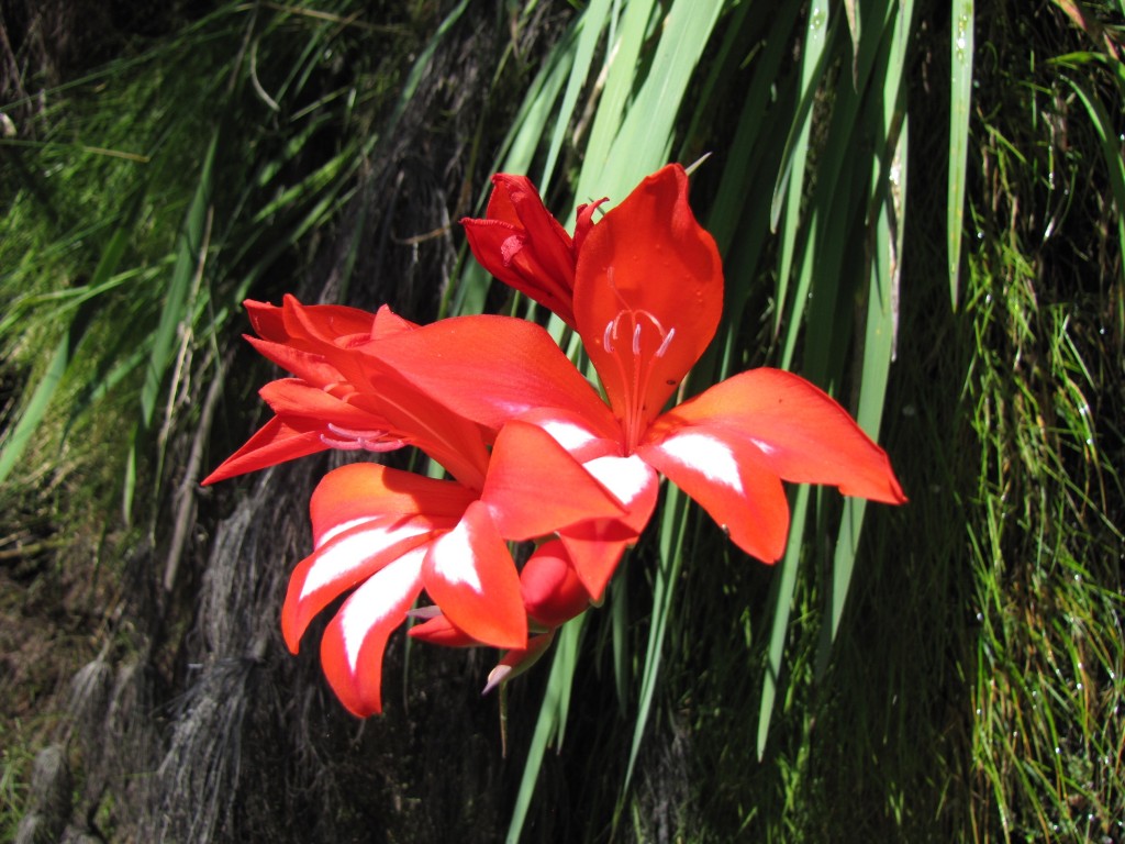
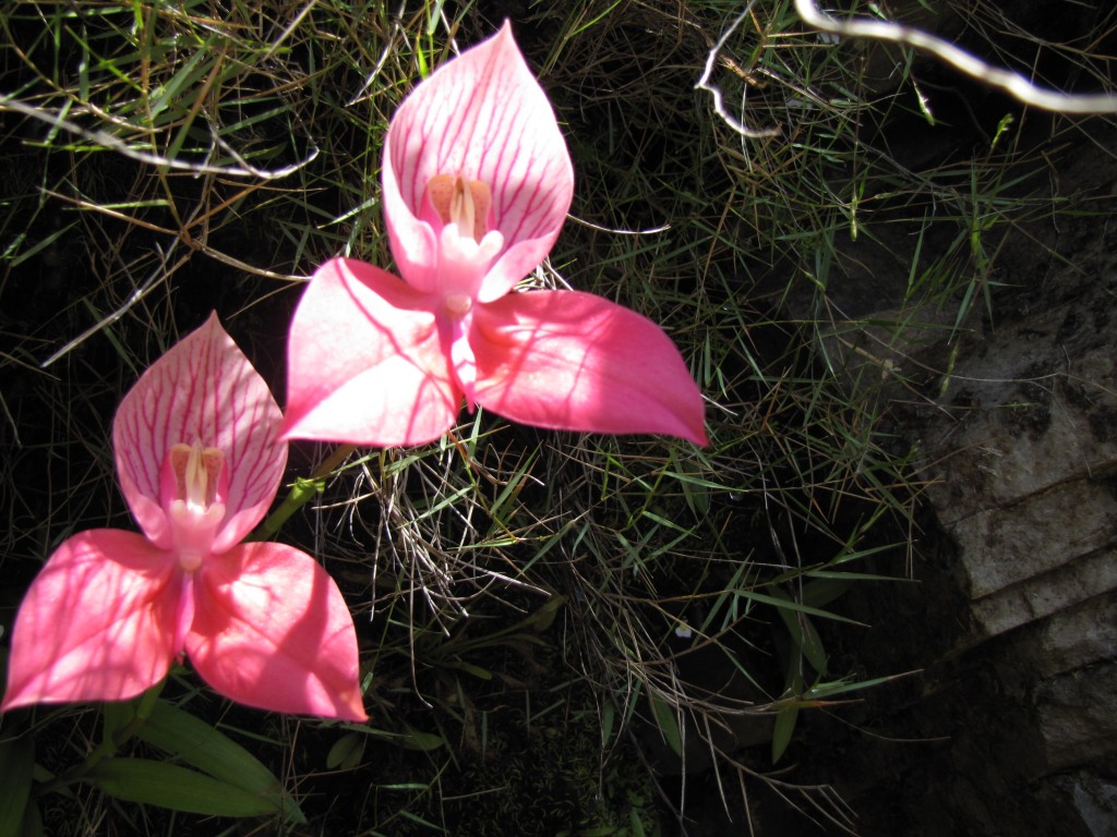
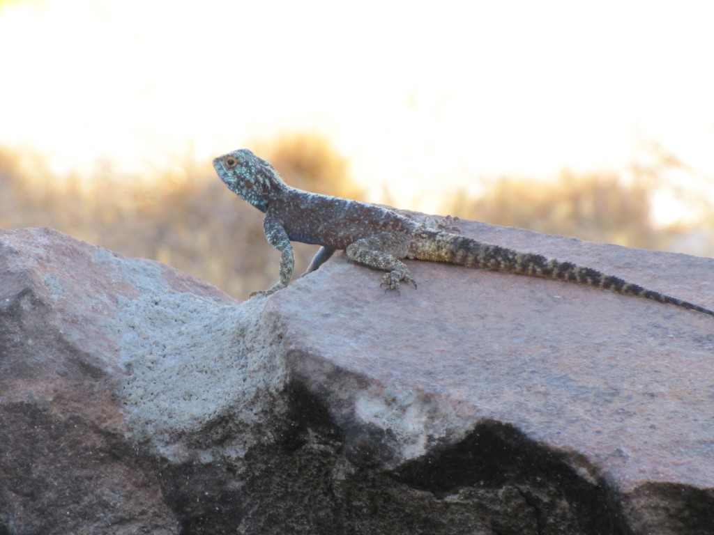
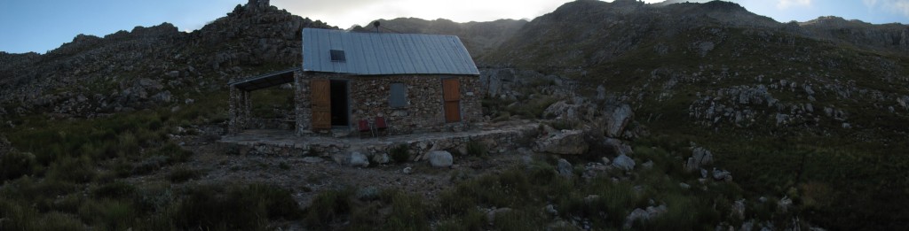
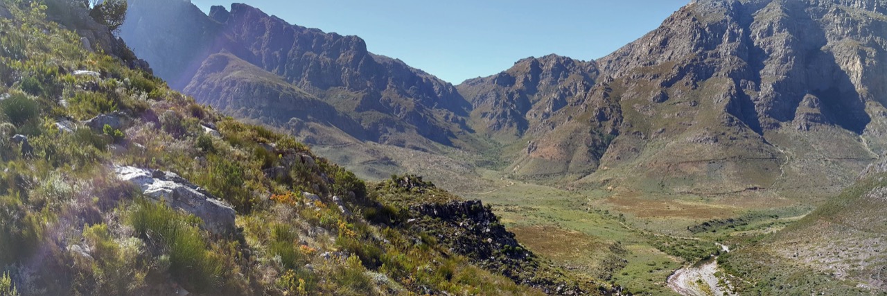
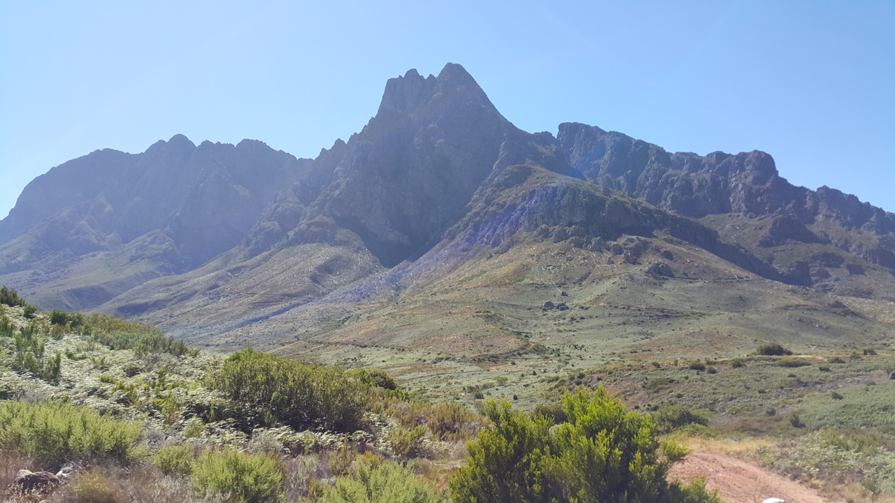
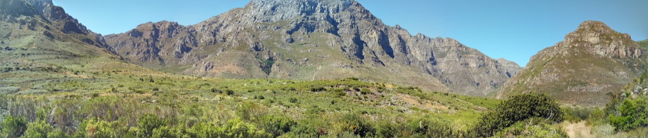
Photo Gallery:

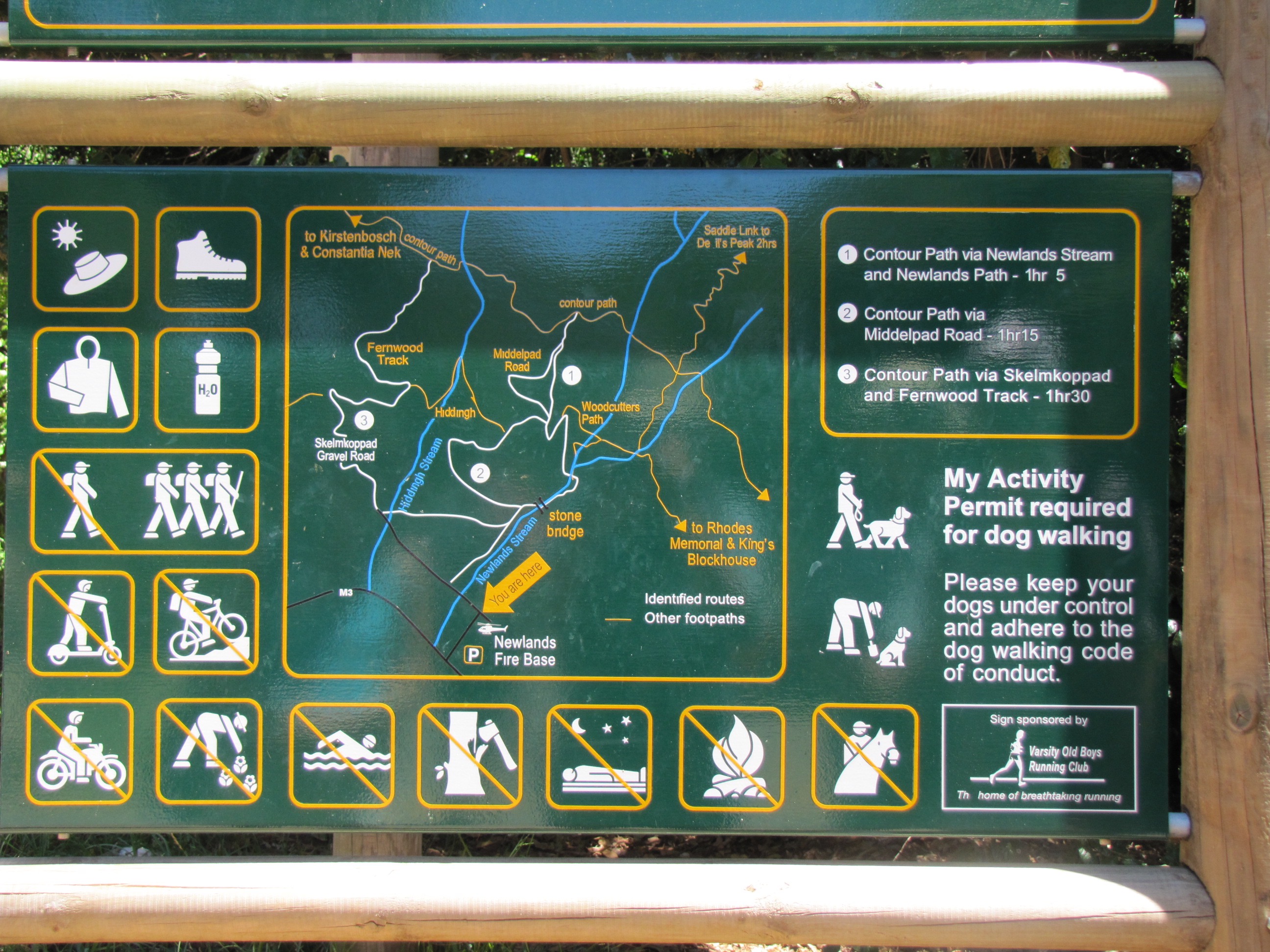
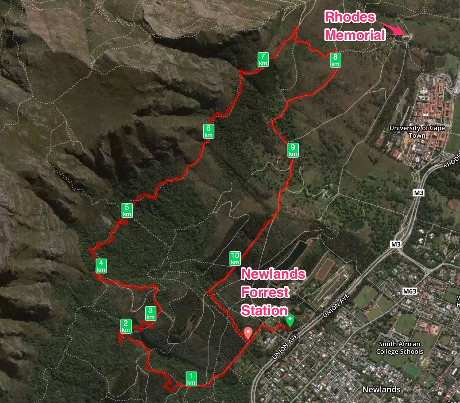
Route map:
Although the hike is a fairly easy hike, I once again recognizes how easy it is for a hiker to get injured. Â One of the hikers in our group fell not that far from the end and got seriously injured and had to be evacuated by a rescue team. Â Does not matter how experienced or well known the area are for you, be always vigilant and careful since accidents can happen in the blink of an eye.
Would love to hear your opinion in the comments if you have done this hike and what you think.
Happy hiking and please remember to keep the area as you have found it, what you take in, you take out and nothing gets left behind.